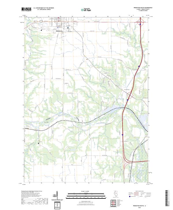
2024 Map of Princeton South
USGS Topo · Published 2024About this map
The Bureau County Courthouse stands as the civic anchor of Princeton, a community where the grid of city streets transitions into the rolling agricultural lands of central Illinois. This modern survey illustrates the enduring layout of the county seat, from the residential blocks along S Main St to the historic Oakland Cem on the western edge of town. To the south, the landscape is defined by the winding course of Big Bureau Creek and its tributary, East Bureau Creek, which carve a more complex topography into the prairie, including landmarks like Owls Head and the valley known as Plow Hollow. The village of Tiskilwa sits at the southwestern corner of this study area, connected by a network of rural routes such as Co Rd 26 that trace the historical migration and transport patterns between these two valley settlements.
Find a feature on this map
92 named features on this map. Tap any name to fly to it.
Don’t see what you’re looking for? This feature index may not catch every label — zoom into the map to look around manually.
Map Details
Editions of this 2024 Princeton South Map
This is the sole edition of this map. No revisions or reprints were ever made.
Other maps of this area

1893 · Lacon
USGS Topo · 1:62,500

1893 · Hennepin
USGS Topo · 1:62,500

1909 · Hennepin
USGS Topo · 1:62,500

1911 · Hennepin
USGS Topo · 1:62,500

1921 · Buda
USGS Topo · 1:62,500

1923 · Buda
USGS Topo · 1:62,500

1933 · Lacon
USGS Topo · 1:62,500

1933 · Camp Grove
USGS Topo · 1:48,000

1937 · Lacon
USGS Topo · 1:62,500

1945 · Bradford
USGS Topo · 1:62,500