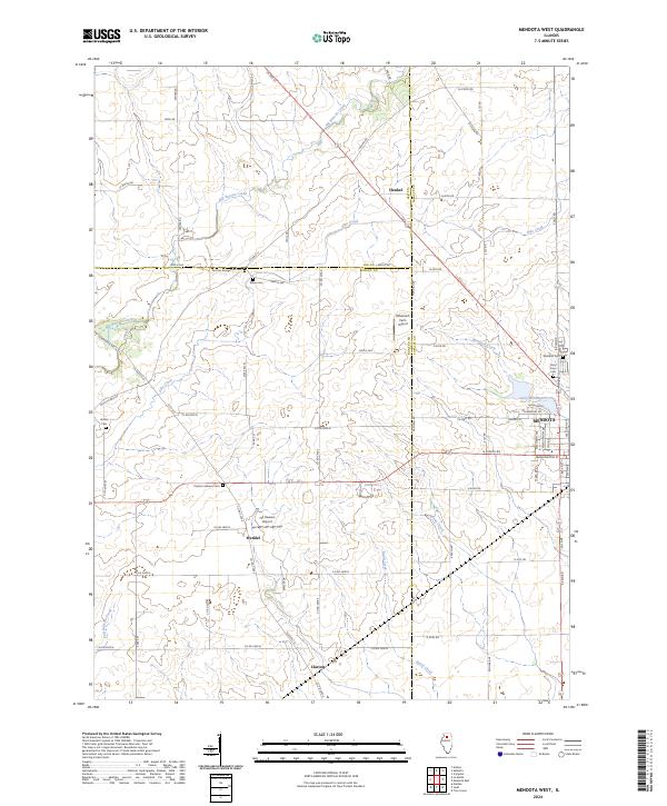
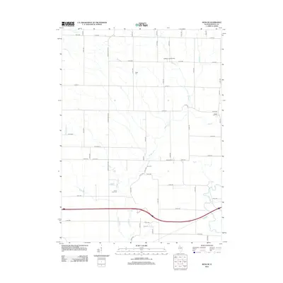
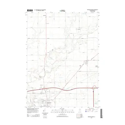
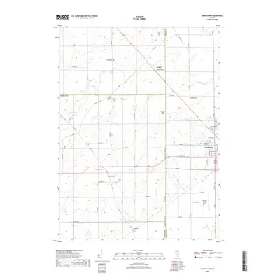
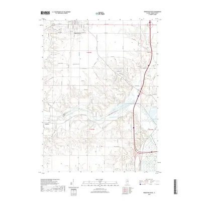
2024 Map of Mendota West
USGS Topo · Published 2024About this map
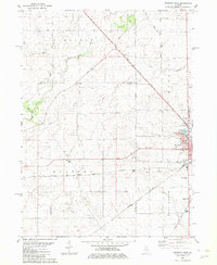
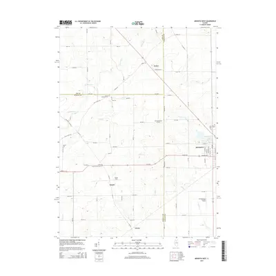
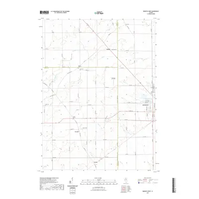
Mendota serves as the primary hub on this contemporary Illinois quadrangle, where the grid of city streets gives way to the expansive agricultural landscape of Bureau and La Salle Counties. The area is defined by a dense network of local section roads and established family farmsteads, interspersed with small rural hamlets like Henkel, Wendel, and Clarion. For genealogists and local historians, the landscape preserves numerous burial grounds, including the German Evangelical Cem and Clarion Lutheran Cem, which reflect the region's ethnic and religious heritage.
Find a feature on this map
84 named features on this map. Tap any name to fly to it.
Don’t see what you’re looking for? This feature index may not catch every label — zoom into the map to look around manually.
Map Details
Editions of this 2024 Mendota West Map
This is the sole edition of this map. No revisions or reprints were ever made.
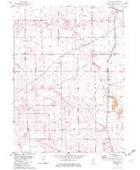
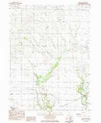
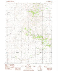
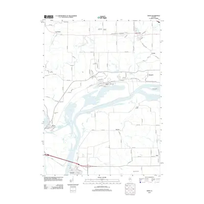
Historical Maps of Mendota Through Time
42 maps found
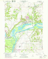
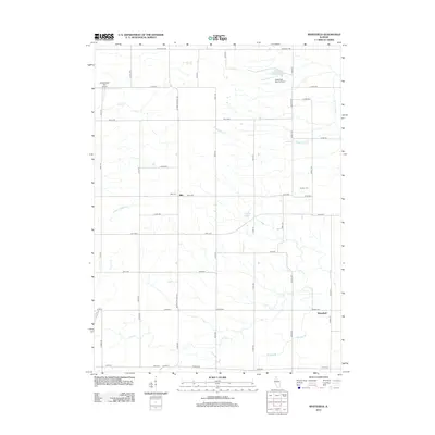
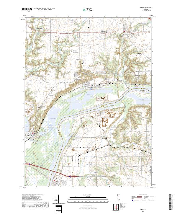
1966 Depue
Bureau County, IL
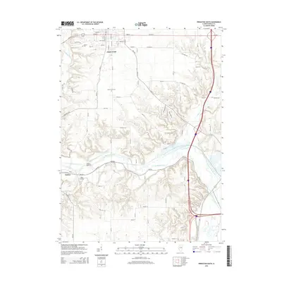
1966 Princeton North
Bureau County, IL
1966 Princeton South
Bureau County, IL
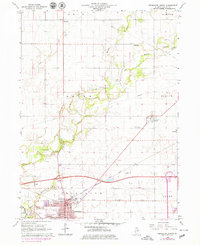
1982 Mendota West
Bureau County, IL
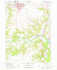
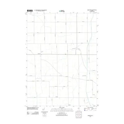
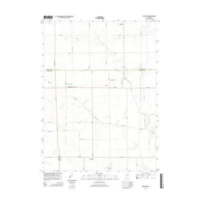
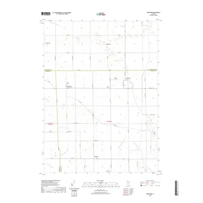
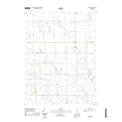
1982 Yorktown
Bureau County, IL
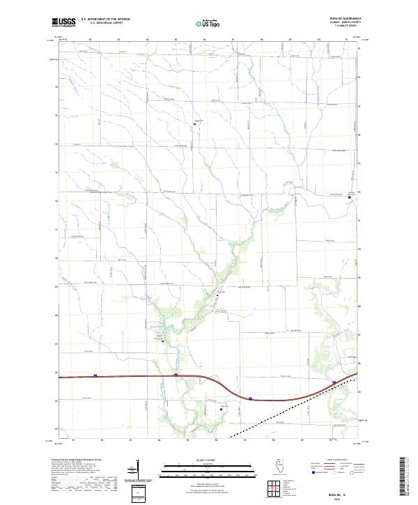
1983 Buda NE
Bureau County, IL
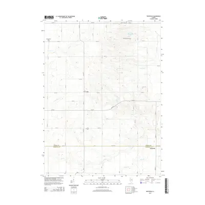
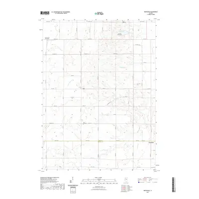
1983 Whitefield
Bureau County, IL
2012 Buda NE
Bureau County, IL
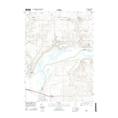
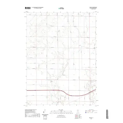
2012 Depue
Bureau County, IL
2012 Mendota West
Bureau County, IL
2012 Princeton North
Bureau County, IL

2012 Princeton South
Bureau County, IL
2012 Whitefield
Bureau County, IL
2012 Yorktown
Bureau County, IL

2015 Buda NE
Bureau County, IL
2015 Depue
Bureau County, IL
2015 Mendota West
Bureau County, IL
2015 Princeton North
Bureau County, IL
2015 Princeton South
Bureau County, IL
2015 Whitefield
Bureau County, IL
2015 Yorktown
Bureau County, IL
2018 Buda NE
Bureau County, IL
2018 Depue
Bureau County, IL
2018 Mendota West
Bureau County, IL
2018 Princeton North
Bureau County, IL
2018 Princeton South
Bureau County, IL
2018 Whitefield
Bureau County, IL
2018 Yorktown
Bureau County, IL
2021 Buda NE
Bureau County, IL
2021 Depue
Bureau County, IL
2021 Mendota West
Bureau County, IL
2021 Princeton North
Bureau County, IL
2021 Princeton South
Bureau County, IL
2021 Whitefield
Bureau County, IL
2021 Yorktown
Bureau County, IL
2024 Buda NE
Bureau County, IL
2024 Depue
Bureau County, IL
2024 Mendota West
Bureau County, IL
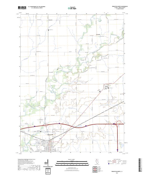
2024 Princeton North
Bureau County, IL
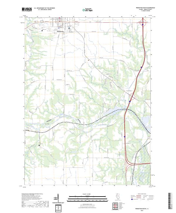
2024 Princeton South
Bureau County, IL
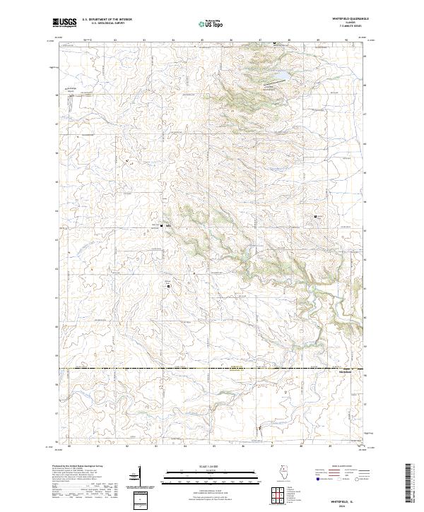
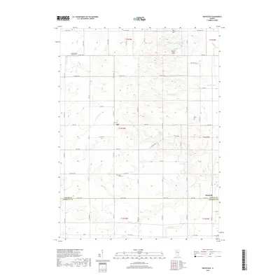
2024 Whitefield
Bureau County, IL
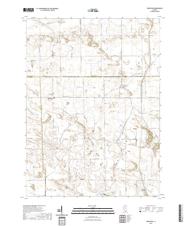
2024 Yorktown
Bureau County, IL