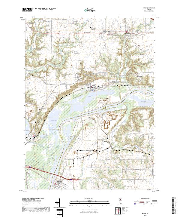
2024 Map of Depue
USGS Topo · Published 2024About this map
Hennepin serves as a focal point for this survey, situated along the bend of the Illinois River where the Putnam County Courthouse stands. The landscape is a complex network of backwater lakes and wetlands, including Depue Lake, Spring Lake, and Turner Lake, which define the low-lying areas between the river and the rising bluffs. These bluffs host a series of small, historic settlements such as Coal Hollow, Hollowayville, and Seatonville, connected by a grid of county roads that navigate around natural features like Searl Ridge and Wolf Hollow. Local history is deeply embedded in the terrain through numerous burial sites, including the Saint John Evangelical Lutheran Cem and Searl Ridge Cem. The transportation infrastructure is evidenced by the rail crossing at Bureau Junction and the small Foley Airport, reflecting the area's mix of agricultural, river-based, and small-town industrial life.
Find a feature on this map
120 named features on this map. Tap any name to fly to it.
Don’t see what you’re looking for? This feature index may not catch every label — zoom into the map to look around manually.
Map Details
Editions of this 2024 Depue Map
This is the sole edition of this map. No revisions or reprints were ever made.
Other maps of this area

1893 · Lacon
USGS Topo · 1:62,500

1893 · Hennepin
USGS Topo · 1:62,500

1893 · Lasalle
USGS Topo · 1:62,500

1909 · Hennepin
USGS Topo · 1:62,500

1911 · La Salle
USGS Topo · 1:62,500

1911 · Hennepin
USGS Topo · 1:62,500

1913 · La Salle
USGS Topo · 1:62,500

1933 · Lacon
USGS Topo · 1:62,500

1934 · Wenona
USGS Topo · 1:48,000

1937 · Lacon
USGS Topo · 1:62,500