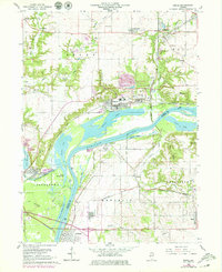
1966 Map of Depue
USGS Topo · Published 1979About this map
Industrial and riparian landscapes converge along the Illinois River in this detailed 1960s survey, updated with late 1970s revisions. The village of Depue serves as a central hub, flanked by an industrial waste disposal area and a large Steel Plant further south near Hennepin. This era of the Illinois valley is defined by its complex waterway system, where Depue Lake, Spring Lake, and Turner Lake are intertwined with the primary river channel and the historic Hennepin Canal near Bureau Junction.
Find a feature on this map
57 named features on this map. Tap any name to fly to it.
Don’t see what you’re looking for? This feature index may not catch every label — zoom into the map to look around manually.
Map Details
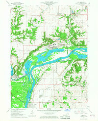
Editions of this 1966 Depue Map
2 editions found
Other maps of this area

1893 · Lacon
USGS Topo · 1:62,500

1893 · Hennepin
USGS Topo · 1:62,500

1893 · Lasalle
USGS Topo · 1:62,500

1909 · Hennepin
USGS Topo · 1:62,500

1911 · La Salle
USGS Topo · 1:62,500

1911 · Hennepin
USGS Topo · 1:62,500

1913 · La Salle
USGS Topo · 1:62,500

1933 · Lacon
USGS Topo · 1:62,500

1934 · Wenona
USGS Topo · 1:48,000

1937 · Lacon
USGS Topo · 1:62,500