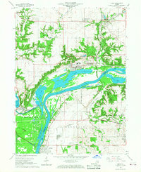
1966 Map of Depue
USGS Topo · Published 1968About this map
The industrial and riverfront landscape of the Illinois River valley is captured here in the mid-1960s, a period when rail transport and heavy manufacturing dominated the corridor. The town of Depue serves as a central hub, situated along Depue Lake and surrounded by extensive infrastructure, including a prominent Steel Plant and a network of Gravel Pits. To the west, the Illinois and Mississippi (Abandoned) Canal and Bureau (Bureau Junction) mark the historical transition from nineteenth-century water transport to the rail era represented by the Chicago Rock Island and Pacific railroad.
Find a feature on this map
51 named features on this map. Tap any name to fly to it.
Don’t see what you’re looking for? This feature index may not catch every label — zoom into the map to look around manually.
Map Details
Editions of this 1966 Depue Map
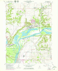
2 editions found
Other maps of this area

1893 · Lacon
USGS Topo · 1:62,500

1893 · Hennepin
USGS Topo · 1:62,500

1893 · Lasalle
USGS Topo · 1:62,500

1909 · Hennepin
USGS Topo · 1:62,500

1911 · La Salle
USGS Topo · 1:62,500

1911 · Hennepin
USGS Topo · 1:62,500

1913 · La Salle
USGS Topo · 1:62,500

1933 · Lacon
USGS Topo · 1:62,500

1934 · Wenona
USGS Topo · 1:48,000

1937 · Lacon
USGS Topo · 1:62,500