Old Maps of Pesotum, Illinois for Academic Research
Study the evolution of Pesotum with 12 high-resolution historic maps. Whether you're teaching, researching, or modeling changes in land use, these maps provide essential visual documentation of urban, environmental, and geographic change.
- Analyze long-term change: Track patterns in development, transportation, and natural features.
- Ideal for environmental or urban studies: Support academic projects with primary historical map data.
- Use in the classroom or lab: Educators and researchers rely on these maps to bring historical context to life.
These maps are a powerful tool for teaching, research, and visualizing how Pesotum has changed over the decades.
Pesotum, IL maps
(12)- 1950 Map of Tuscola, 1952 Print
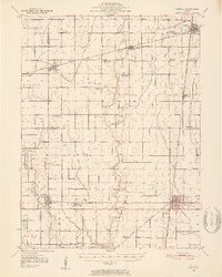 1950 Tuscola1952 Print · USGSMid-century Douglas and Champaign Counties are mapped here at a time when the rural school system was fading into history. Genealogists can trace family roots through numerous markers like Stewart Sch, Macedonia Ch, and Bailey Memorial Cem.4 unique versions available
 - 1958 Map of Decatur, 1971 Print
 1958 Decatur1971 Print · USGSCentral Illinois in the mid-twentieth century shows a landscape defined by industrial rail hubs and the creation of large reservoirs. Researchers can trace historic corridors like the Penn Central or locate landmarks such as Lincoln Log Cabin State Park and Lake Springfield.3 unique versions available
 - 1961 Map of Decatur
 1961 Decatur1961 Print · USGSCentral Illinois in the late fifties was a bustling corridor of rail lines and prairie commerce centered on the state capital. Genealogists and historians can trace the intricate connections between Springfield, Decatur, and dozens of smaller settlements like Nokomis and Arcola.2 unique versions available
 - 1975 Map of Tuscola NE, 1977 Print
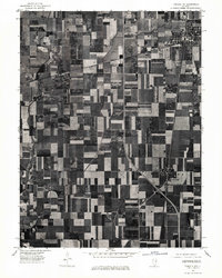 1975 Tuscola NE1977 Print · USGSChampaign County at the mid-point of the 1970s is shown in this detailed aerial perspective of its agricultural and rail landscape. Genealogists and local historians can trace farmstead footprints and the street grids of Tolono, Sadorus, and Pesotum.
 - 1983 Map of Tolono
 1983 Tolono1983 Print · USGSChampaign County prairie life centered on the rail junctions of Tolono and Sadorus in the early 1980s. Genealogists can trace numerous local burial grounds including Rock Cem and Nelson Cem while exploring the rural reaches of Grange (Jimtown).
 - 1985 Map of Decatur
 1985 Decatur1985 Print · USGSCentral Illinois farming and rail hubs thrive in the mid-1980s as Decatur anchors a sprawling network of track and timber. Trace the paths of the Sangamon River and the Illinois Central Gulf RR through old towns like Cerro Gordo and Bement.2 unique versions available
 - 1998 Map of Tolono, 2003 Print
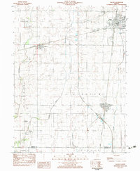
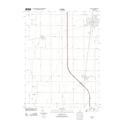
 1998 Tolono2003 Print · USGSChampaign County prairie life is centered on the railway and road corridors of the late twentieth century. Genealogists and local historians can trace family ties through several rural burial grounds, including Rock Cem, Sadorus Cem, and St Marys Cem.
 - 2012 Map of Tolono, 2012 Print
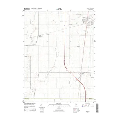
 2012 Tolono2012 Print · USGSCovers Pesotum, including Tolono, Sadorus, and other nearby areas
 - 2015 Map of Tolono, 2015 Print
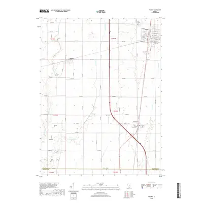
 2015 Tolono2015 Print · USGSCovers Pesotum, including Tolono, Sadorus, and other nearby areas
 - 2018 Map of Tolono, 2018 Print
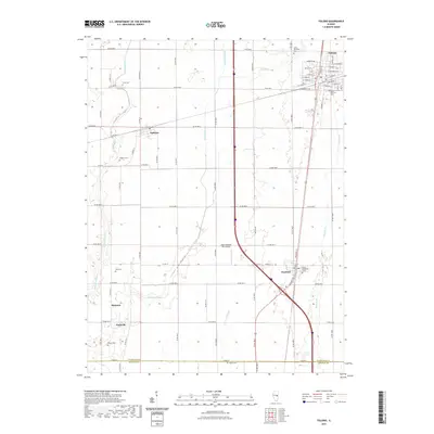
 2018 Tolono2018 Print · USGSCovers Pesotum, including Tolono, Sadorus, and other nearby areas
 - 2021 Map of Tolono, 2021 Print
 2021 Tolono2021 Print · USGSCovers Pesotum, including Tolono, Sadorus, and other nearby areas
 - 2024 Map of Tolono, 2024 Print
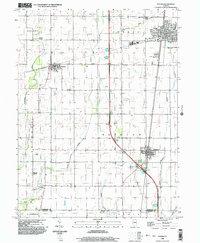
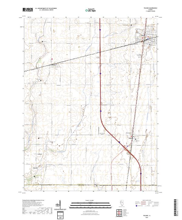 2024 Tolono2024 Print · USGSChampaign County at the present day retains its deep agricultural roots and established rail-town centers. Genealogists and local historians can trace family plots at Saint Patricks Cem or Sadorus Cem and locate smaller settlements like Jimtown and Parkville.
End of results
Showing maps 1-12 of 12
Top cities near Pesotum
- Champaign historical maps
- Urbana historical maps
- Savoy historical maps
- Tuscola historical maps
- Tolono historical maps
- Arcola historical maps
See more
Frequently asked questions
- What are the different types of historical maps available for Pesotum?
- What is the oldest map of Pesotum?
- Where can I purchase historical maps of Pesotum for my home or office?
- Where can I download high-res historical maps of Pesotum?
- Are there historical topographic maps available for Pesotum?
- Is there historical aerial imagery available for Pesotum?
- Where are historical maps of Pesotum sourced from?