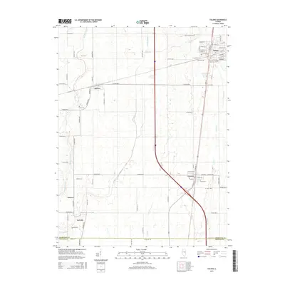
2015 Map of Tolono
USGS Topo · Published 2015About this map
Tolono and Pesotum anchor the eastern corridor of this landscape, situated along the primary transportation routes connecting northern Champaign County with the Douglas County line to the south. The area is defined by its extensive drainage network, where the headwaters of the Kaskaskia River and its various man-made improvements like the Kaskaskia Ditch suggest a long history of agricultural reclamation. For genealogists, the map is particularly dense with small family and parish burial grounds, ranging from the Saint Patrick and Saint Marys cemeteries near the main settlements to more isolated sites such as Craw Cem and O'Bryan Cem near Parkville. The rectilinear road grid, dominated by numerous numbered county roads, underscores the organized agricultural layout of central Illinois in the early 21st century, while the presence of Jimtown and Sadorus further west highlights the distribution of small rural communities.
Find a feature on this map
76 named features on this map. Tap any name to fly to it.
Don’t see what you’re looking for? This feature index may not catch every label — zoom into the map to look around manually.
Map Details
Editions of this 2015 Tolono Map
This is the sole edition of this map. No revisions or reprints were ever made.
Other maps of this area

1906 · Urbana
USGS Topo · 1:62,500

1907 · Mahomet
USGS Topo · 1:62,500

1950 · Tuscola
USGS Topo · 1:62,500

1956 · Villa Grove
USGS Topo · 1:62,500

1957 · Urbana
USGS Topo · 1:62,500

1957 · Urbana
USGS Topo · 1:24,000

1957 · Mahomet
USGS Topo · 1:62,500

1957 · Bondville
USGS Topo · 1:24,000

1958 · Peoria
USGS Topo · 1:250,000

1958 · Decatur
USGS Topo · 1:250,000