2000s (21st Century) Maps of Charleston, Illinois
Explore 20 historic maps of Charleston from the 2000s (21st Century). These maps offer a rare glimpse into what life looked like during the 2000s — showing old roads, neighborhoods, homes, and landmarks that have changed or disappeared over time.
Whether you're researching your family's past, planning a metal detecting trip, or studying how Charleston's landscape evolved across the 2000s, these high-resolution maps are a powerful tool for exploring the history of this region.
- Focus on a specific era: All maps on this page are from the 2000s, giving you a focused view of this time period.
- See what’s changed: Compare century-old streets, trails, and buildings to today's modern landscape using overlays and satellite layers.
- Research with precision: Use these maps for genealogy, historical research, land use analysis, or educational projects.
- View, download, or print: Maps are fully viewable online in high resolution, and can be downloaded or printed for your own records.
Start exploring Charleston's history through authentic maps from the 2000s. This is your window into the past.
Charleston, IL maps
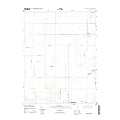
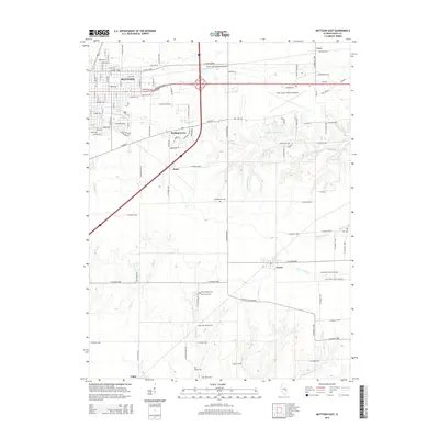
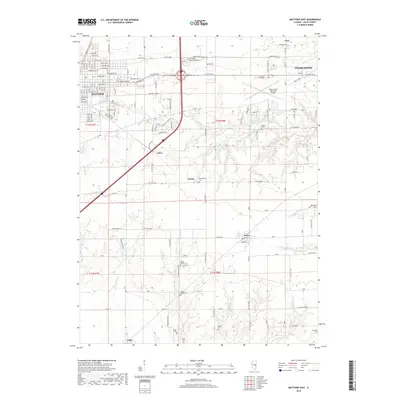
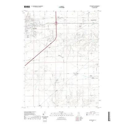
(20)- 2012 Map of Mattoon East, 2012 Print
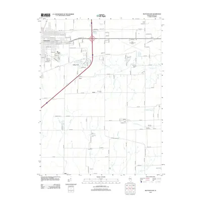 2012 Mattoon East2012 Print · USGSCovers Charleston, including Mattoon, Lerna, and other nearby areas
 - 2012 Map of Westfield West, 2012 Print
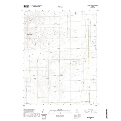
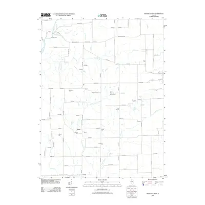 2012 Westfield West2012 Print · USGSCovers Charleston, including Hutton, Westfield, and other nearby areas
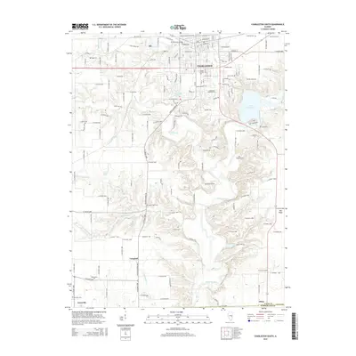
 - 2012 Map of Charleston North, 2012 Print
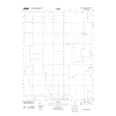 2012 Charleston North2012 Print · USGSCovers Charleston, including Bushton, Fairgrange, and other nearby areas
 - 2012 Map of Charleston South, 2012 Print
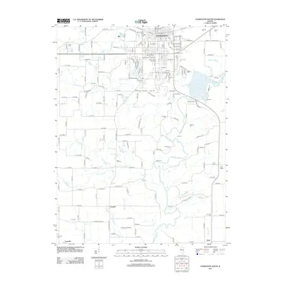 2012 Charleston South2012 Print · USGSCovers Charleston, including Campbell, Diona, and other nearby areas
 - 2015 Map of Charleston North, 2015 Print
 2015 Charleston North2015 Print · USGSCovers Charleston, including Bushton, Fairgrange, and other nearby areas
 - 2015 Map of Westfield West, 2015 Print
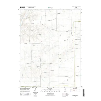 2015 Westfield West2015 Print · USGSCovers Charleston, including Hutton, Westfield, and other nearby areas
 - 2015 Map of Charleston South, 2015 Print
 2015 Charleston South2015 Print · USGSCovers Charleston, including Campbell, Diona, and other nearby areas
 - 2015 Map of Mattoon East, 2015 Print
 2015 Mattoon East2015 Print · USGSCovers Charleston, including Mattoon, Lerna, and other nearby areas
 - 2018 Map of Charleston South, 2018 Print
 2018 Charleston South2018 Print · USGSCovers Charleston, including Campbell, Diona, and other nearby areas
 - 2018 Map of Westfield West, 2018 Print
 2018 Westfield West2018 Print · USGSCovers Charleston, including Hutton, Westfield, and other nearby areas
 - 2018 Map of Charleston North, 2018 Print
 2018 Charleston North2018 Print · USGSCovers Charleston, including Bushton, Fairgrange, and other nearby areas
 - 2018 Map of Mattoon East, 2018 Print
 2018 Mattoon East2018 Print · USGSCovers Charleston, including Mattoon, Lerna, and other nearby areas
 - 2021 Map of Charleston North, 2021 Print
 2021 Charleston North2021 Print · USGSCovers Charleston, including Bushton, Fairgrange, and other nearby areas
 - 2021 Map of Mattoon East, 2021 Print
 2021 Mattoon East2021 Print · USGSCovers Charleston, including Mattoon, Lerna, and other nearby areas
 - 2021 Map of Westfield West, 2021 Print
 2021 Westfield West2021 Print · USGSCovers Charleston, including Hutton, Westfield, and other nearby areas
 - 2021 Map of Charleston South, 2021 Print
 2021 Charleston South2021 Print · USGSCovers Charleston, including Campbell, Diona, and other nearby areas
 - 2024 Map of Charleston North, 2024 Print
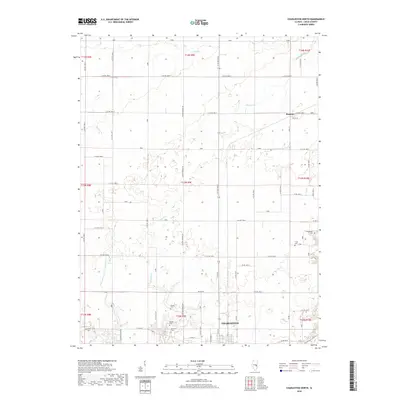
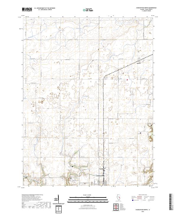 2024 Charleston North2024 Print · USGSColes County at the current day remains a patchwork of fertile farmland and expanding townships. Researchers can trace family history through numerous rural burial sites including Cossel Cem and Salem Cem or locate the village of Bushton.
 - 2024 Map of Mattoon East, 2024 Print
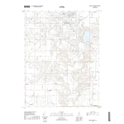
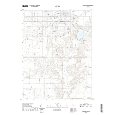
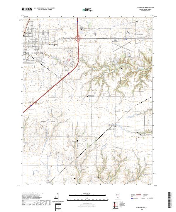 2024 Mattoon East2024 Print · USGSColes County at the current day shows the sprawling growth of Mattoon and Charleston alongside a remarkably preserved rural cemetery network. Genealogists can trace early homesteads through Montgomery Cem, Upper Muddy Point Cem, and Lerna.
 - 2024 Map of Westfield West, 2024 Print
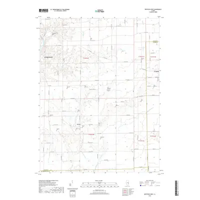
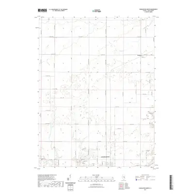
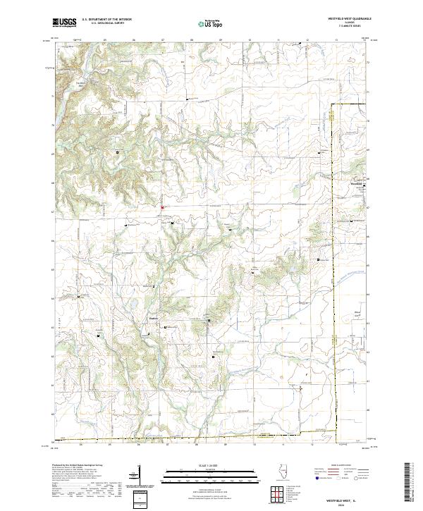 2024 Westfield West2024 Print · USGSColes County at the junction of Clark and Cumberland reveals a deeply etched landscape of prairie farms and river bluffs. Researchers can trace family history through a high density of rural burial sites like Wiley Brick Cem, Otterbein Cem, and Stringtown Cem.
 - 2024 Map of Charleston South, 2024 Print
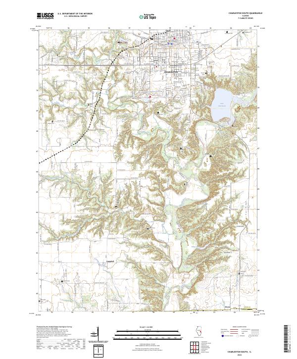 2024 Charleston South2024 Print · USGSCharleston and its southern rural townships are documented here during a period of modern growth and university expansion. Researchers can find numerous family burial sites like Huckaba Cem or trace the early paths of Old State Rd through Campbell.
End of results
Showing maps 1-20 of 20
Top cities near Charleston
- Mattoon historical maps
- Casey historical maps
- Arcola historical maps
- Greenup historical maps
- Toledo historical maps
- Oakland historical maps
See more
Frequently asked questions
- What are the different types of historical maps available for Charleston?
- What is the oldest map of Charleston?
- Where can I purchase historical maps of Charleston for my home or office?
- Where can I download high-res historical maps of Charleston?
- Are there historical topographic maps available for Charleston?
- Is there historical aerial imagery available for Charleston?
- Where are historical maps of Charleston sourced from?