Old Maps of Charleston, Illinois for Hiking & Exploration
Hike through history with 38 historic maps of Charleston. Explore old trails, ghost towns, and forgotten backroads — perfect for outdoor adventurers and local explorers.
- Rediscover forgotten places: Map out old mining camps, roads, and footpaths that no longer exist on modern maps.
- Layer with modern tools: Combine with LiDAR or satellite views to plan hikes through historical terrain.
- Made for exploration: Popular among hikers, overlanders, and local history lovers.
Use these maps to find adventure and explore the hidden past of Charleston.
Charleston, IL maps
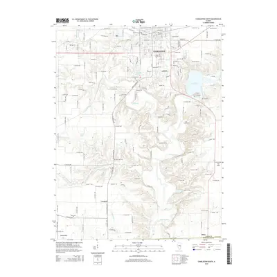
(38)- 1933 Map of Toledo, 1958 Print
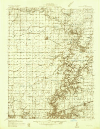
 1933 Toledo1958 Print · USGSEast-central Illinois during the early thirties is captured here as a landscape of river-valley crossings and small-town rail hubs. Genealogists can trace family roots through numerous rural landmarks like Unity Chapel, Bell Cem, and the historic Lincoln Log Cabin State Park.2 unique versions available
 - 1934 Map of Mattoon, 1967 Print
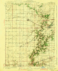
 1934 Mattoon1967 Print · USGSThe rail hubs and rural townships of East Central Illinois are captured here in the mid-1930s. Genealogists and local historians can trace the foundations of Mattoon and Neoga while locating family landmarks like Old Bethel Ch or the Little Brick Sch.2 unique versions available
 - 1936 Map of Oakland
 1936 Oakland1936 Print · USGSColes and Douglas Counties in the mid-1930s exhibit a landscape deeply connected by the Embarrass River and the Pennsylvania railroad. Genealogists can trace hundreds of small family landmarks, from Patsy Mitchell Cem to the scores of local schoolhouses like Boneset Sch and Seven Hickory Sch.5 unique versions available
 - 1937 Map of Mattoon
 1937 Mattoon1937 Print · USGSThe rail hubs of Mattoon and Neoga are shown in the late 1930s, surrounded by a dense network of country schools and family cemeteries. Trace ancestral roots at Aetna Etna PO, Johnstown, or the many rural schoolhouses like South Loxa Sch.3 unique versions available
 - 1938 Map of Toledo
 1938 Toledo1938 Print · USGSCentral Illinois at the height of the New Deal era reveals a landscape of family farms and river-bottom timber. Genealogists can trace family landmarks like Tippett Cem, Unity Chapel, and numerous schools including Little Brick Sch.
 - 1942 Map of Oakland
 1942 Oakland1942 Print · USGSCentral Illinois prairie life is captured here in the early 1940s as the rail-and-river economy flourished. You can trace family roots at the Patsy Mitchell Cem or locate old schoolhouses like Jack Oak Sch and Seven Hickory Sch.2 unique versions available
 - 1958 Map of Decatur, 1971 Print
 1958 Decatur1971 Print · USGSCentral Illinois in the mid-twentieth century shows a landscape defined by industrial rail hubs and the creation of large reservoirs. Researchers can trace historic corridors like the Penn Central or locate landmarks such as Lincoln Log Cabin State Park and Lake Springfield.3 unique versions available
 - 1961 Map of Decatur
 1961 Decatur1961 Print · USGSCentral Illinois in the late fifties was a bustling corridor of rail lines and prairie commerce centered on the state capital. Genealogists and historians can trace the intricate connections between Springfield, Decatur, and dozens of smaller settlements like Nokomis and Arcola.2 unique versions available
 - 1982 Map of Charleston North, 1983 Print
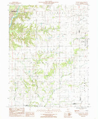
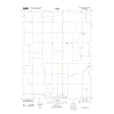
 1982 Charleston North1983 Print · USGSColes County at the start of the 1980s shows a landscape of productive prairie farmland and small rail-stop settlements. Genealogists and local historians can locate early burial grounds like Winkleblack Cem and family-named landmarks such as Cassell Creek.
 - 1984 Map of Charleston South, 1985 Print
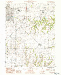
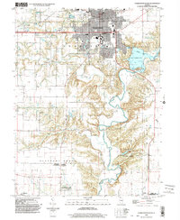
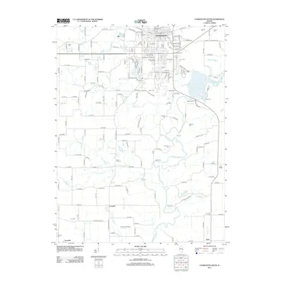
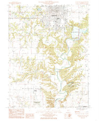 1984 Charleston South1985 Print · USGSColes County at the mid-eighties shows the transition from the university city of Charleston to the timbered bluffs of the Embarras River. Researchers can locate family landmarks at the Lincoln Log Cabin State Historic Site or near the waters of Lake Charleston.
 - 1984 Map of Westfield West, 1985 Print
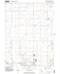
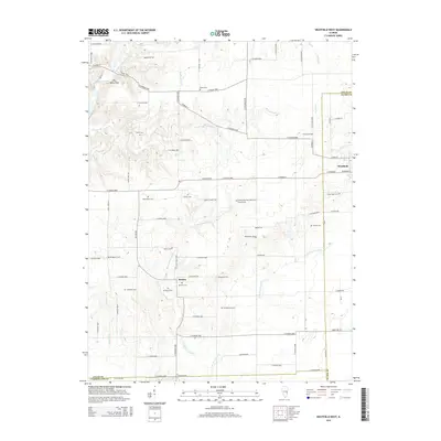
 1984 Westfield West1985 Print · USGSThe rural borderlands of Coles and Clark counties come to life in the early 1980s, showing a landscape defined by prairie farmsteads and river bluffs. Researchers can trace family history through numerous CEM sites and the remote reaches of Embarras River and Hurricane Creek.
 - 1984 Map of Mattoon East, 1985 Print
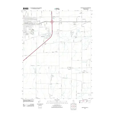
 1984 Mattoon East1985 Print · USGSColes County in the mid-1980s shows the eastern expansion of Mattoon into the surrounding prairies and creek valleys. Genealogists and local historians can trace the rail networks of the Illinois Central Gulf through small communities like Lerna, Loxa, and Trilla.
 - 1985 Map of Decatur
 1985 Decatur1985 Print · USGSCentral Illinois farming and rail hubs thrive in the mid-1980s as Decatur anchors a sprawling network of track and timber. Trace the paths of the Sangamon River and the Illinois Central Gulf RR through old towns like Cerro Gordo and Bement.2 unique versions available
 - 1986 Map of Effingham
 1986 Effingham1986 Print · USGSCentral Illinois during the mid-eighties was a hub of rail travel and water recreation centered on the new reservoirs. Genealogists and historians can trace the rural landscape between Mattoon and Effingham, locating landmarks like St Paul Ch and Eagle Creek State Park.2 unique versions available
 - 1998 Map of Mattoon East, 2002 Print
 1998 Mattoon East2002 Print · USGSThe eastern edge of Mattoon and the agricultural heart of Coles County are shown here at the turn of the millennium. Researchers can locate the small settlements of Lerna and Loxa or trace the winding paths of Kickapoo Creek and Indian Creek.
 - 1998 Map of Westfield West, 2003 Print
 1998 Westfield West2003 Print · USGSThe prairie and timber lands of east-central Illinois are shown here in the late twentieth century as the Embarras River bypasses Charleston. Researchers can trace rural cemetery sites and old industrial markers like the Mill near Westfield or the Gas Fields Creek drainage.
 - 1998 Map of Charleston South, 2003 Print
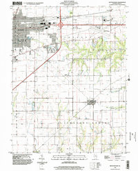
 1998 Charleston South2003 Print · USGSSouth of the city at the turn of the millennium, this area shows the historic sites and river valleys of Coles and Cumberland Counties. Genealogists can trace family connections in Campbell (Farmington) or locate the Lincoln Log Cabin State Historic Site.
 - 1998 Map of Charleston North, 2003 Print
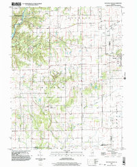
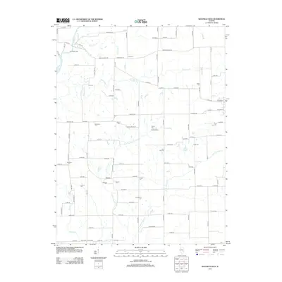
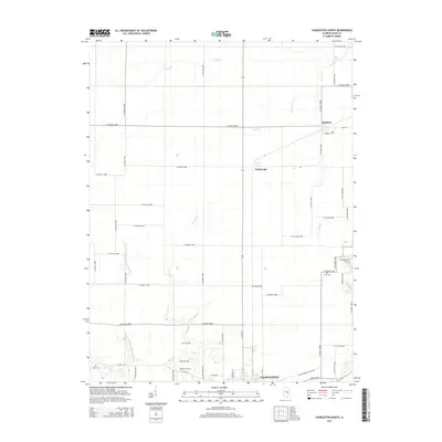
 1998 Charleston North2003 Print · USGSThe northern outskirts of Charleston and the surrounding prairie townships are captured here in the late 1990s. Genealogists and local historians can trace family locations near North Union Ch, Mound Cem, and the small agricultural settlements of Fairgrange and Bushton.
 - 2012 Map of Mattoon East, 2012 Print
 2012 Mattoon East2012 Print · USGSCovers Charleston, including Mattoon, Lerna, and other nearby areas
 - 2012 Map of Westfield West, 2012 Print
 2012 Westfield West2012 Print · USGSCovers Charleston, including Hutton, Westfield, and other nearby areas
 - 2012 Map of Charleston North, 2012 Print
 2012 Charleston North2012 Print · USGSCovers Charleston, including Bushton, Fairgrange, and other nearby areas
 - 2012 Map of Charleston South, 2012 Print
 2012 Charleston South2012 Print · USGSCovers Charleston, including Campbell, Diona, and other nearby areas
 - 2015 Map of Charleston North, 2015 Print
 2015 Charleston North2015 Print · USGSCovers Charleston, including Bushton, Fairgrange, and other nearby areas
 - 2015 Map of Westfield West, 2015 Print
 2015 Westfield West2015 Print · USGSCovers Charleston, including Hutton, Westfield, and other nearby areas
 - 2015 Map of Charleston South, 2015 Print
 2015 Charleston South2015 Print · USGSCovers Charleston, including Campbell, Diona, and other nearby areas
Showing maps 1-25 of 38
Top cities near Charleston
- Mattoon historical maps
- Casey historical maps
- Arcola historical maps
- Greenup historical maps
- Toledo historical maps
- Oakland historical maps
See more
Frequently asked questions
- What are the different types of historical maps available for Charleston?
- What is the oldest map of Charleston?
- Where can I purchase historical maps of Charleston for my home or office?
- Where can I download high-res historical maps of Charleston?
- Are there historical topographic maps available for Charleston?
- Is there historical aerial imagery available for Charleston?
- Where are historical maps of Charleston sourced from?