Old Maps of Trilla, Illinois for Genealogy
Trace your family roots with 12 historic maps of Trilla. These high-res maps reveal old neighborhoods, homesites, landmarks, and streets — helping you uncover where your ancestors lived and how the area evolved over time.
- Explore historic neighborhoods: Identify where your relatives may have lived in the 1800s or 1900s.
- Compare maps over time: Trace the changes in streets, buildings, and landmarks for multi-generational research.
- Perfect for genealogy & ancestry research: Used by family historians and researchers to map out lineage and migration.
These maps are an incredible resource for exploring your personal connection to Trilla's past.
Trilla, IL maps
(12)- 1934 Map of Mattoon, 1967 Print
 1934 Mattoon1967 Print · USGSThe rail hubs and rural townships of East Central Illinois are captured here in the mid-1930s. Genealogists and local historians can trace the foundations of Mattoon and Neoga while locating family landmarks like Old Bethel Ch or the Little Brick Sch.2 unique versions available
 - 1937 Map of Mattoon
 1937 Mattoon1937 Print · USGSThe rail hubs of Mattoon and Neoga are shown in the late 1930s, surrounded by a dense network of country schools and family cemeteries. Trace ancestral roots at Aetna Etna PO, Johnstown, or the many rural schoolhouses like South Loxa Sch.3 unique versions available
 - 1958 Map of Decatur, 1971 Print
 1958 Decatur1971 Print · USGSCentral Illinois in the mid-twentieth century shows a landscape defined by industrial rail hubs and the creation of large reservoirs. Researchers can trace historic corridors like the Penn Central or locate landmarks such as Lincoln Log Cabin State Park and Lake Springfield.3 unique versions available
 - 1961 Map of Decatur
 1961 Decatur1961 Print · USGSCentral Illinois in the late fifties was a bustling corridor of rail lines and prairie commerce centered on the state capital. Genealogists and historians can trace the intricate connections between Springfield, Decatur, and dozens of smaller settlements like Nokomis and Arcola.2 unique versions available
 - 1984 Map of Mattoon East, 1985 Print
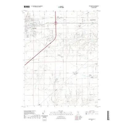
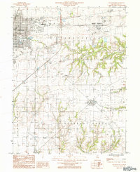 1984 Mattoon East1985 Print · USGSColes County in the mid-1980s shows the eastern expansion of Mattoon into the surrounding prairies and creek valleys. Genealogists and local historians can trace the rail networks of the Illinois Central Gulf through small communities like Lerna, Loxa, and Trilla.
 - 1986 Map of Effingham
 1986 Effingham1986 Print · USGSCentral Illinois during the mid-eighties was a hub of rail travel and water recreation centered on the new reservoirs. Genealogists and historians can trace the rural landscape between Mattoon and Effingham, locating landmarks like St Paul Ch and Eagle Creek State Park.2 unique versions available
 - 1998 Map of Mattoon East, 2002 Print
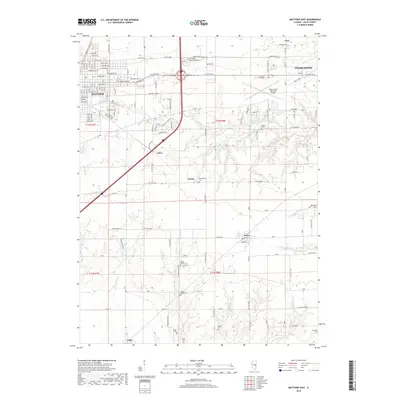
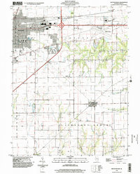 1998 Mattoon East2002 Print · USGSThe eastern edge of Mattoon and the agricultural heart of Coles County are shown here at the turn of the millennium. Researchers can locate the small settlements of Lerna and Loxa or trace the winding paths of Kickapoo Creek and Indian Creek.
 - 2012 Map of Mattoon East, 2012 Print
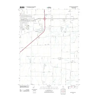 2012 Mattoon East2012 Print · USGSCovers Trilla, including Charleston, Mattoon, and other nearby areas
 - 2015 Map of Mattoon East, 2015 Print
 2015 Mattoon East2015 Print · USGSCovers Trilla, including Charleston, Mattoon, and other nearby areas
 - 2018 Map of Mattoon East, 2018 Print
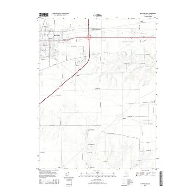
 2018 Mattoon East2018 Print · USGSCovers Trilla, including Charleston, Mattoon, and other nearby areas
 - 2021 Map of Mattoon East, 2021 Print
 2021 Mattoon East2021 Print · USGSCovers Trilla, including Charleston, Mattoon, and other nearby areas
 - 2024 Map of Mattoon East, 2024 Print
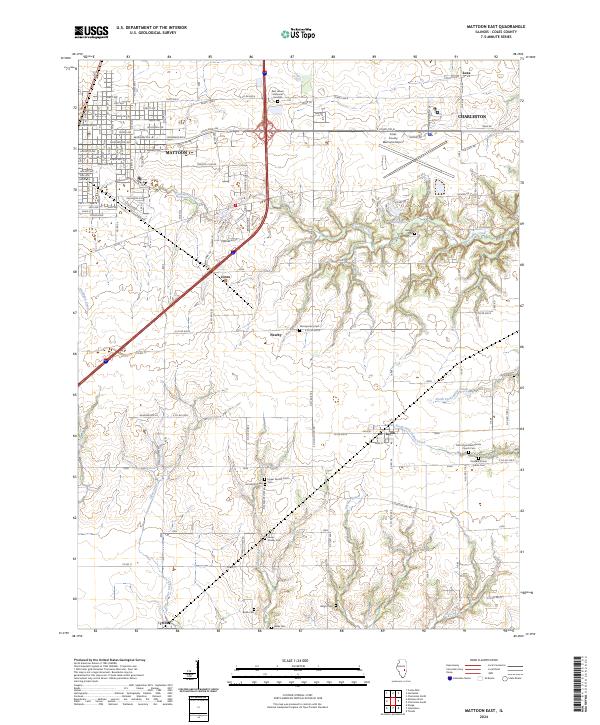 2024 Mattoon East2024 Print · USGSColes County at the current day shows the sprawling growth of Mattoon and Charleston alongside a remarkably preserved rural cemetery network. Genealogists can trace early homesteads through Montgomery Cem, Upper Muddy Point Cem, and Lerna.
End of results
Showing maps 1-12 of 12
Top cities near Trilla
- Charleston historical maps
- Mattoon historical maps
- Effingham historical maps
- Neoga historical maps
- Greenup historical maps
- Paradise historical maps
See more
Frequently asked questions
- What are the different types of historical maps available for Trilla?
- What is the oldest map of Trilla?
- Where can I purchase historical maps of Trilla for my home or office?
- Where can I download high-res historical maps of Trilla?
- Are there historical topographic maps available for Trilla?
- Is there historical aerial imagery available for Trilla?
- Where are historical maps of Trilla sourced from?