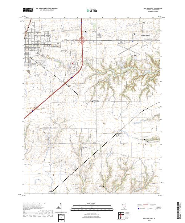
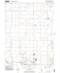
2024 Map of Mattoon East
USGS Topo · Published 2024About this map
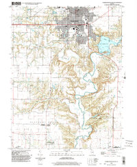
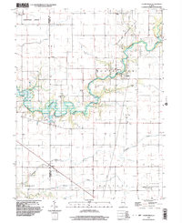
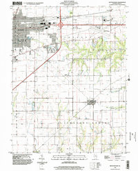
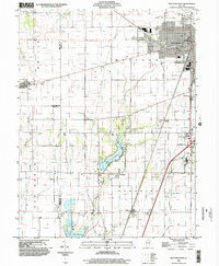
Mattoon and Charleston anchor the northern landscape of this Coles County study, separated by the industrial and aviation hubs surrounding Coles County Memorial Airport. Between these urban centers, the terrain transitions into a dense network of creek drainages, including Kickapoo Creek and Sweetwater Creek, which carve through the central prairies. This area is notably dense with small family and community burial grounds that reflect the early pioneer settlement patterns of central Illinois.
Find a feature on this map
74 named features on this map. Tap any name to fly to it.
Don’t see what you’re looking for? This feature index may not catch every label — zoom into the map to look around manually.
Map Details
Editions of this 2024 Mattoon East Map
This is the sole edition of this map. No revisions or reprints were ever made.
Historical Maps of Trilla Through Time
18 maps found
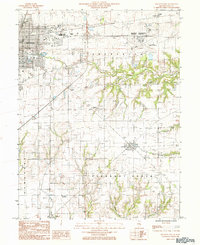
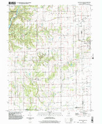
1982 Charleston North
Coles County, IL
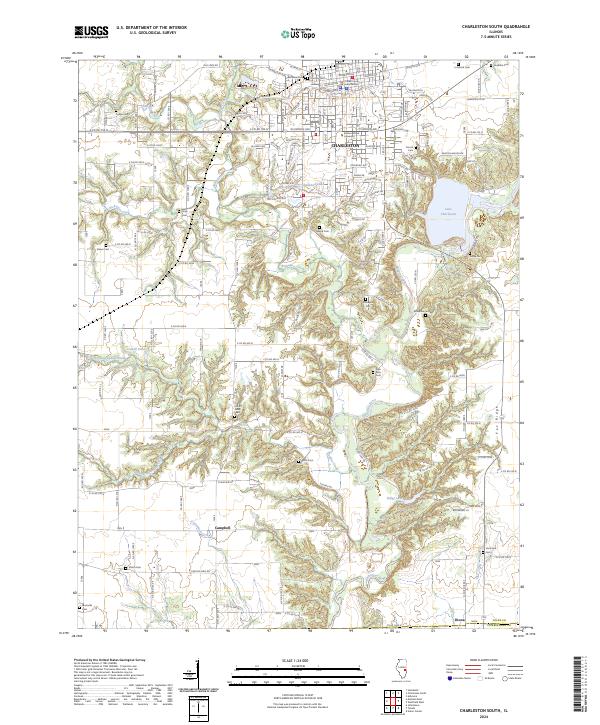
1983 Cooks Mills
Coles County, IL
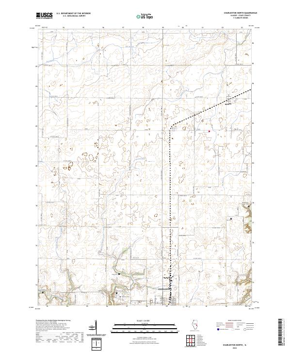
1984 Charleston South
Coles County, IL
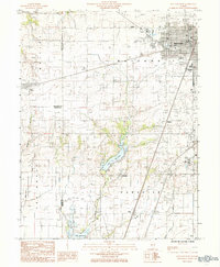
1984 Mattoon East
Coles County, IL
1984 Mattoon West
Coles County, IL
1984 Westfield West
Coles County, IL
1998 Charleston North
Coles County, IL
1998 Charleston South
Coles County, IL
1998 Cooks Mills
Coles County, IL
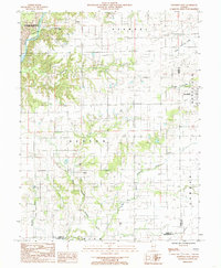
1998 Mattoon East
Coles County, IL
1998 Mattoon West
Coles County, IL
1998 Westfield West
Coles County, IL
2024 Charleston North
Coles County, IL
2024 Charleston South
Coles County, IL
2024 Cooks Mills
Coles County, IL
2024 Mattoon East
Coles County, IL
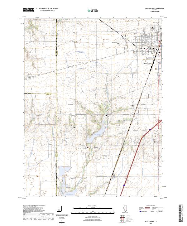
2024 Mattoon West
Coles County, IL
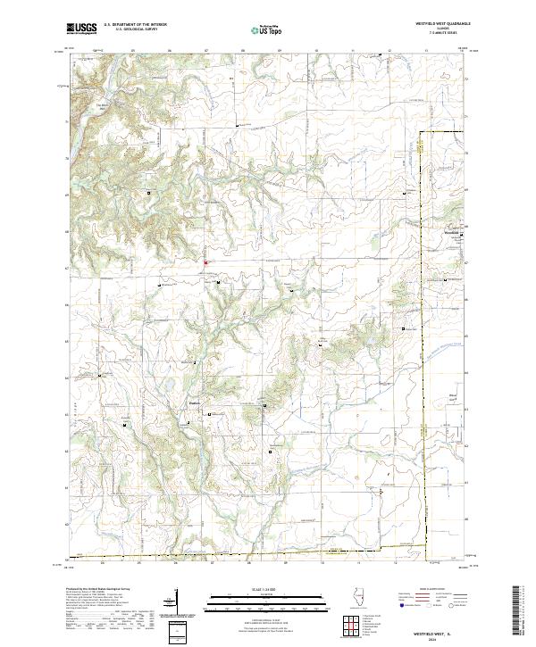
2024 Westfield West
Coles County, IL