
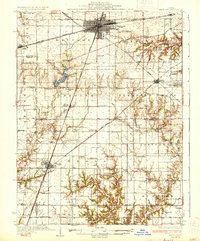
1937 Map of Mattoon
USGS Topo · Published 1937About this map
Mattoon and Neoga anchor this 1930s landscape, a region defined by a dense grid of rural education and heavy rail infrastructure. The Illinois Central and New York Central railroads converge at the northern industrial hub, while the St Louis and Chicago line cuts diagonally across the southern townships. A remarkable density of country schools, such as South Loxa Sch and Little Brick Sch, indicates the distributed farming communities of Lafayette and Pleasant Grove.
Find a feature on this map
98 named features on this map. Tap any name to fly to it.
Don’t see what you’re looking for? This feature index may not catch every label — zoom into the map to look around manually.
Map Details
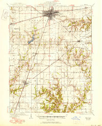
Editions of this 1937 Mattoon Map
3 editions found
Other maps of this area

1933 · Toledo
USGS Topo · 1:62,500

1934 · Mattoon
USGS Topo · 1:62,500

1935 · Arcola
USGS Topo · 1:48,000

1935 · Sullivan
USGS Topo · 1:48,000

1936 · Oakland
USGS Topo · 1:48,000

1938 · Toledo
USGS Topo · 1:62,500

1940 · Sullivan
USGS Topo · 1:62,500

1940 · Arcola
USGS Topo · 1:62,500

1940 · Greenup
USGS Topo · 1:62,500

1942 · Oakland
USGS Topo · 1:62,500