2020s Maps of Crawford County, Illinois
Explore 29 historic maps of Crawford County from the 2020s. These maps offer a rare glimpse into what life looked like during the 2020s — showing old roads, neighborhoods, homes, and landmarks that have changed or disappeared over time.
Whether you're researching your family's past, planning a metal detecting trip, or studying how Crawford County's landscape evolved across the 2020s, these high-resolution maps are a powerful tool for exploring the history of this region.
- Focus on a specific era: All maps on this page are from the 2020s, giving you a focused view of this time period.
- See what’s changed: Compare century-old streets, trails, and buildings to today's modern landscape using overlays and satellite layers.
- Research with precision: Use these maps for genealogy, historical research, land use analysis, or educational projects.
- View, download, or print: Maps are fully viewable online in high resolution, and can be downloaded or printed for your own records.
Start exploring Crawford County's history through authentic maps from the 2020s. This is your window into the past.
Crawford County, IL maps
(29)- 2021 Map of Flat Rock, 2021 Print
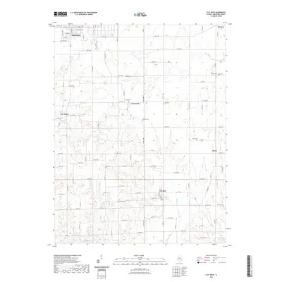 2021 Flat Rock2021 Print · USGSCovers Crawford County, including Robinson, Palestine, and other nearby areas
 - 2021 Map of Stoy, 2021 Print
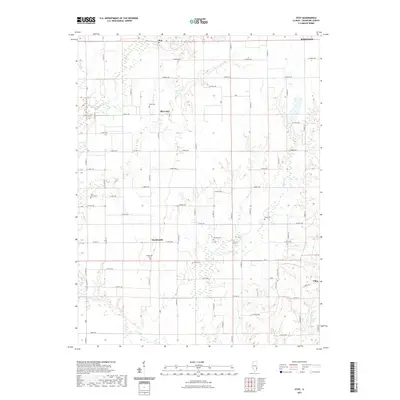 2021 Stoy2021 Print · USGSCovers Crawford County, including Robinson, Stoy, and other nearby areas
 - 2021 Map of Oblong South, 2021 Print
 2021 Oblong South2021 Print · USGSCovers Crawford County, including Oblong, Pierceburg, and other nearby areas
 - 2021 Map of Heathsville, 2021 Print
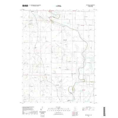 2021 Heathsville2021 Print · USGSCovers Crawford County, including Palestine, Richwoods, and other nearby areas
 - 2021 Map of Landes, 2021 Print
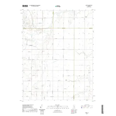 2021 Landes2021 Print · USGSCovers Crawford County, including Amity, Landes, and other nearby areas
 - 2021 Map of Birds, 2021 Print
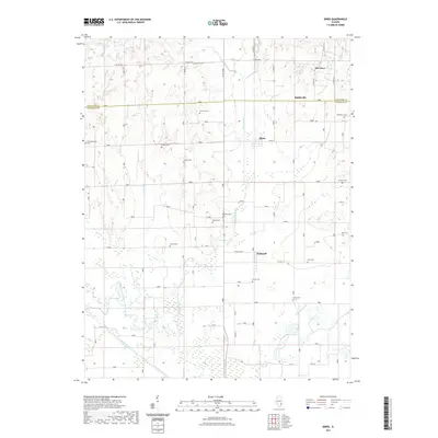 2021 Birds2021 Print · USGSCovers Crawford County, including Birds, Pinkstaff, and other nearby areas
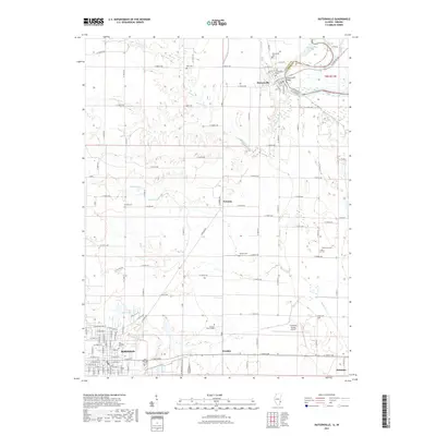
 - 2021 Map of Porterville, 2021 Print
 2021 Porterville2021 Print · USGSCovers Crawford County, including Robinson, Stoy, and other nearby areas
 - 2021 Map of Oblong North, 2021 Print
 2021 Oblong North2021 Print · USGSCovers Crawford County, including Oblong, Dogwood, and other nearby areas
 - 2021 Map of Moriah, 2021 Print
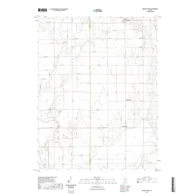
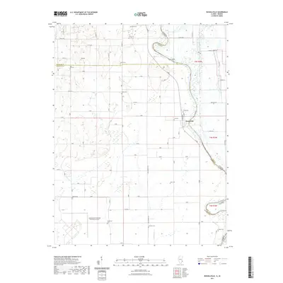
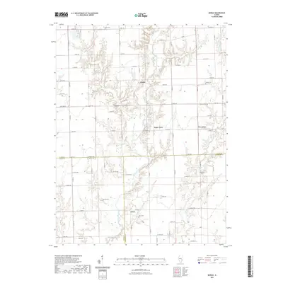 2021 Moriah2021 Print · USGSCovers Crawford County, including Hogue Town, Moriah, and other nearby areas
 - 2021 Map of Annapolis, 2021 Print
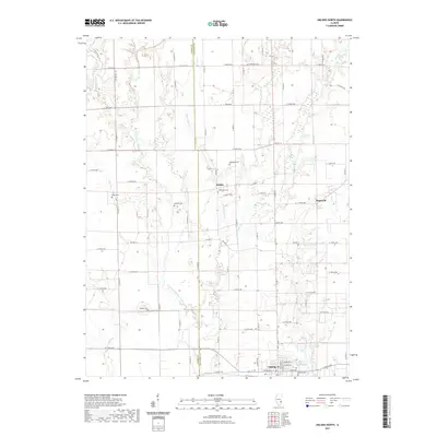
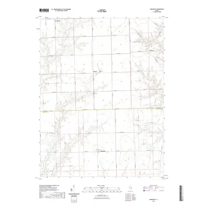 2021 Annapolis2021 Print · USGSCovers Crawford County, including Melrose, Orange, and other nearby areas
 - 2021 Map of West Union, 2021 Print
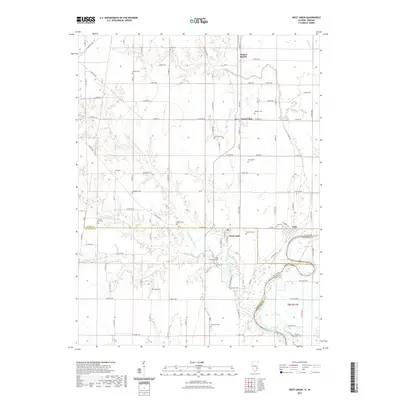 2021 West Union2021 Print · USGSCovers Crawford County, including York, West Union, and other nearby areas
 - 2021 Map of Chauncey, 2021 Print
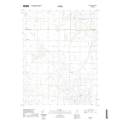 2021 Chauncey2021 Print · USGSCovers Crawford County, including Port Jackson, Chauncey, and other nearby areas
 - 2021 Map of Hutsonville, 2021 Print
 2021 Hutsonville2021 Print · USGSCovers Crawford County, including Robinson, Palestine, and other nearby areas
 - 2021 Map of Russellville, 2021 Print
 2021 Russellville2021 Print · USGSCovers Crawford County, including Russellville, Davy, and other nearby areas
 - 2022 Map of Merom, 2022 Print
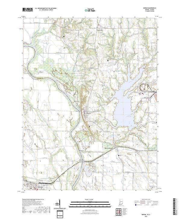 2022 Merom2022 Print · USGSThe Wabash River valley at the Indiana-Illinois border reveals a landscape of historic river bluffs and rural cemeteries. Genealogists and historians can trace family locations near Merom, the Old French Cem, and the prominent Merom Bluff.
 - 2024 Map of Flat Rock, 2024 Print
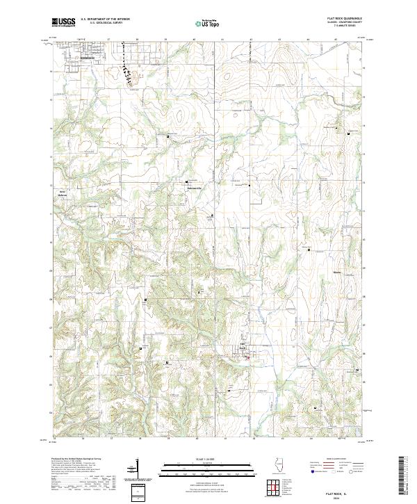 2024 Flat Rock2024 Print · USGSModern Crawford County agriculture meets nineteenth-century genealogy in this landscape near Flat Rock. Researchers can locate numerous family burial sites like Tohill Cem, Rich Cem, and Minnick Cem along the creek bottoms.
 - 2024 Map of Oblong South, 2024 Print
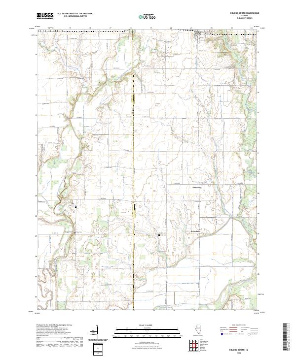 2024 Oblong South2024 Print · USGSSouthern Crawford County is mapped here during the early twenty-first century as it remains a landscape of river confluences and rural crossroads. Genealogists can locate family landmarks like Yager Cem and Miller Cem or trace the early paths of Yeager Ford.
 - 2024 Map of Moriah, 2024 Print
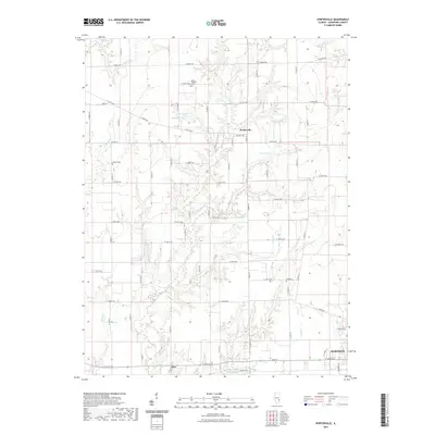
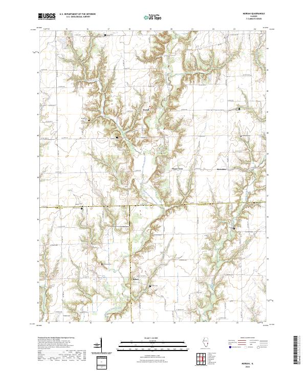 2024 Moriah2024 Print · USGSThe intersection of Clark, Crawford, and Jasper counties is captured here in the early twenty-first century, showing a landscape of quiet prairie settlements. Genealogists and historians can trace numerous rural burial sites like Butternut Cem and Walnut Cem near the banks of the North Fork Embarras River.
 - 2024 Map of Porterville, 2024 Print
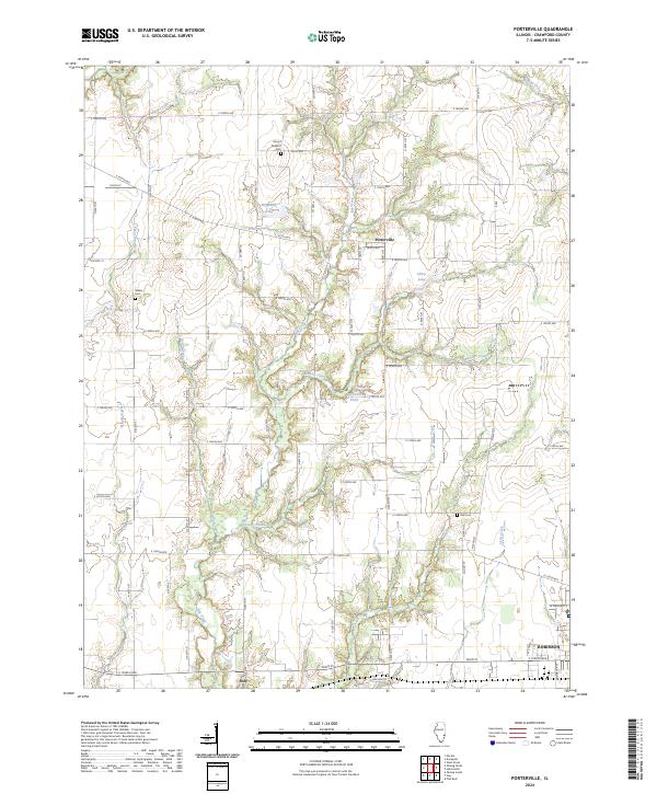 2024 Porterville2024 Print · USGSCrawford County, Illinois, is documented here in the modern era, showing the rural landscape between Porterville and the city of Robinson. Researchers can locate family landmarks like Mount Pleasant Cem and trace the winding paths of Big Creek and Bennett Creek.
 - 2024 Map of Annapolis, 2024 Print
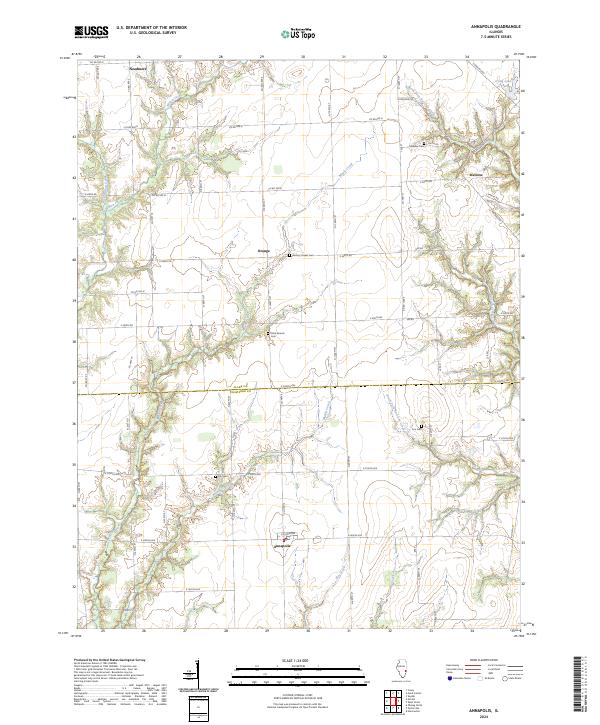 2024 Annapolis2024 Print · USGSThe rural borderlands of Clark and Crawford counties come to life in this survey of a traditional Illinois farming landscape. Genealogists can locate family sites near Annapolis and Melrose, or trace heritage at Wesley Chapel Cem and Olive Branch Cem.
 - 2024 Map of Hutsonville, 2024 Print
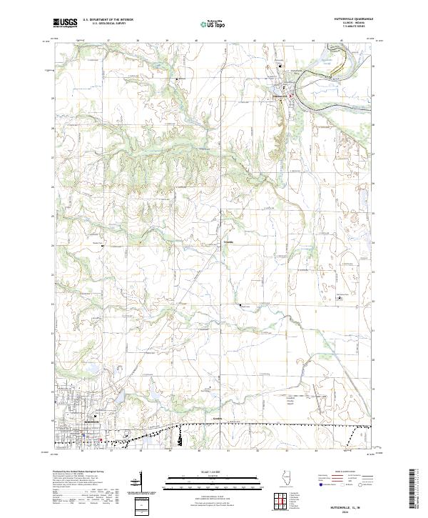 2024 Hutsonville2024 Print · USGSCrawford County's riverfront and prairie landscapes come into focus here during the early 2020s, tracing the area's development from the Wabash River to the heart of Robinson. Genealogists and local historians can locate several family-named burial grounds like Barbee Cem and Oak Grove Cem alongside landmarks like Lincoln Trail College.
 - 2024 Map of West Union, 2024 Print
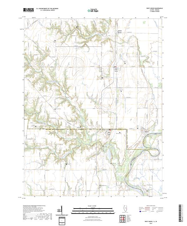 2024 West Union2024 Print · USGSThe Wabash River borderlands of Illinois and Indiana come into focus here during the early twenty-first century. Genealogists and local historians can trace family ties through numerous rural burial sites like Shawler Cem and Mount Olive Cem, or locate the historic York Ferry crossing.
 - 2024 Map of Oblong North, 2024 Print
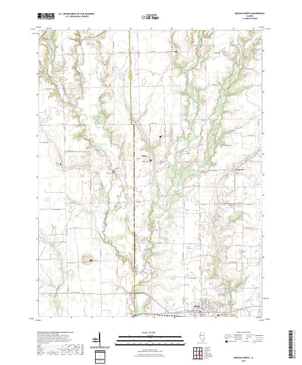 2024 Oblong North2024 Print · USGSCrawford County and Jasper County are captured here at the county line in the modern era, showing a landscape defined by river bends and rural crossroads. Local historians can trace old community sites like Kibbie and Dogwood or locate ancestral burial sites at Mound Cem and White Oak Cem.
 - 2024 Map of Stoy, 2024 Print
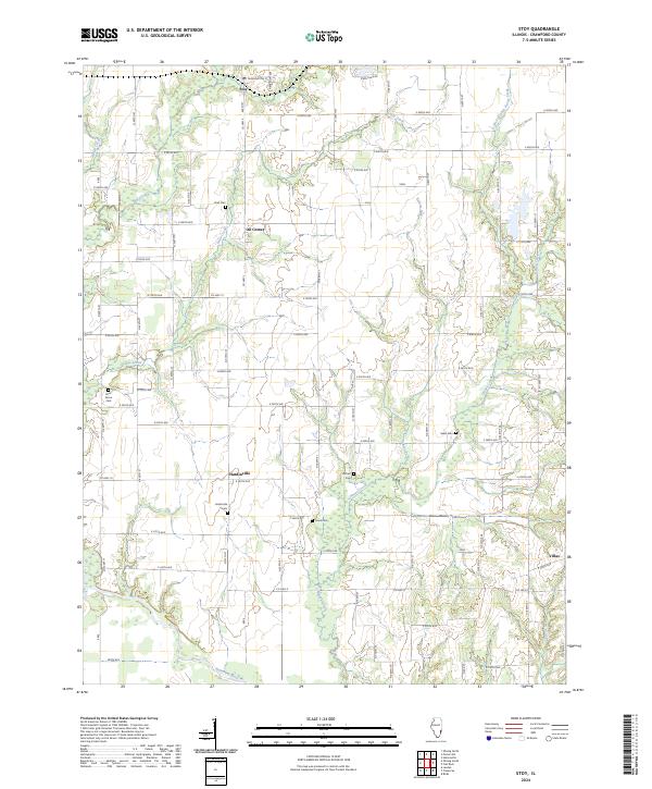 2024 Stoy2024 Print · USGSThe rural stretches of Crawford County are documented here in the early twenty-first century, showing a landscape shaped by oil history and river drainage. Genealogists can locate family landmarks like Prier Cem and Sears Cem or trace the old roads near Oil Center and Hardinville.
 - 2024 Map of Russellville, 2024 Print
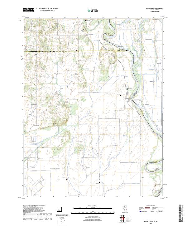 2024 Russellville2024 Print · USGSThe Illinois-Indiana borderlands along the Wabash River are captured here in the early twenty-first century. Researchers can trace family history through over a dozen rural burial grounds like Saint Paul Cem and Centerville Cem, or locate the riverfront streets of Russellville.
Showing maps 1-25 of 29
Top cities of Crawford County
- Robinson historical maps
- Oblong historical maps
- Palestine historical maps
- Hutsonville historical maps
- Flat Rock historical maps
- Stoy historical maps
Frequently asked questions
- What are the different types of historical maps available for Crawford County?
- What is the oldest map of Crawford County?
- Where can I purchase historical maps of Crawford County for my home or office?
- Where can I download high-res historical maps of Crawford County?
- Are there historical topographic maps available for Crawford County?
- Is there historical aerial imagery available for Crawford County?
- Where are historical maps of Crawford County sourced from?