2000s (21st Century) Maps of Pierce Township, Illinois
Explore 20 historic maps of Pierce Township from the 2000s (21st Century). These maps offer a rare glimpse into what life looked like during the 2000s — showing old roads, neighborhoods, homes, and landmarks that have changed or disappeared over time.
Whether you're researching your family's past, planning a metal detecting trip, or studying how Pierce Township's landscape evolved across the 2000s, these high-resolution maps are a powerful tool for exploring the history of this region.
- Focus on a specific era: All maps on this page are from the 2000s, giving you a focused view of this time period.
- See what’s changed: Compare century-old streets, trails, and buildings to today's modern landscape using overlays and satellite layers.
- Research with precision: Use these maps for genealogy, historical research, land use analysis, or educational projects.
- View, download, or print: Maps are fully viewable online in high resolution, and can be downloaded or printed for your own records.
Start exploring Pierce Township's history through authentic maps from the 2000s. This is your window into the past.
Pierce Township, IL maps
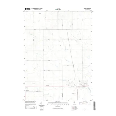
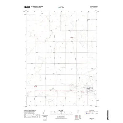
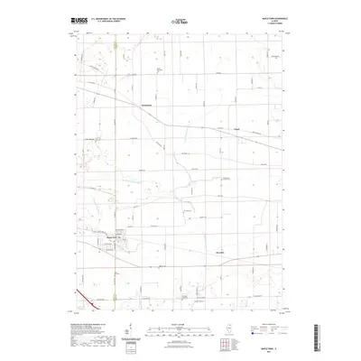
(20)- 2012 Map of Hinckley, 2012 Print
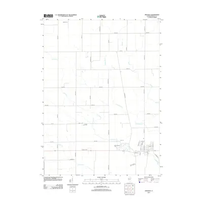 2012 Hinckley2012 Print · USGSCovers Pierce Township, including Hinckley, Waterman, and other nearby areas
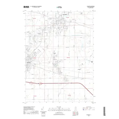
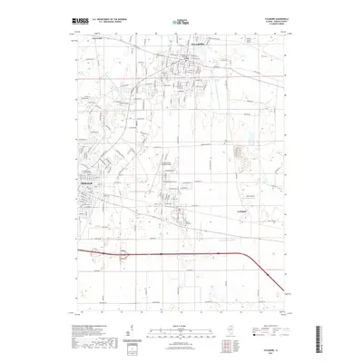
 - 2012 Map of Sycamore, 2012 Print
 2012 Sycamore2012 Print · USGSCovers Pierce Township, including DeKalb, Sycamore, and other nearby areas
 - 2012 Map of Maple Park, 2012 Print
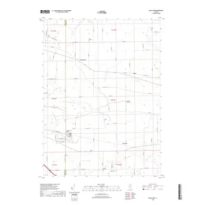
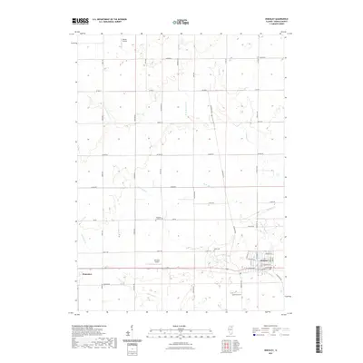
 2012 Maple Park2012 Print · USGSCovers Pierce Township, including Maple Park, Virgil, and other nearby areas
 - 2012 Map of Big Rock, 2012 Print
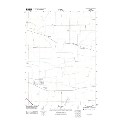
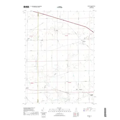
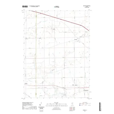
 2012 Big Rock2012 Print · USGSCovers Pierce Township, including Sugar Grove, Hinckley, and other nearby areas
 - 2015 Map of Hinckley, 2015 Print
 2015 Hinckley2015 Print · USGSCovers Pierce Township, including Hinckley, Waterman, and other nearby areas
 - 2015 Map of Big Rock, 2015 Print
 2015 Big Rock2015 Print · USGSCovers Pierce Township, including Sugar Grove, Hinckley, and other nearby areas
 - 2015 Map of Maple Park, 2015 Print
 2015 Maple Park2015 Print · USGSCovers Pierce Township, including Maple Park, Virgil, and other nearby areas
 - 2015 Map of Sycamore, 2015 Print
 2015 Sycamore2015 Print · USGSCovers Pierce Township, including DeKalb, Sycamore, and other nearby areas
 - 2018 Map of Hinckley, 2018 Print
 2018 Hinckley2018 Print · USGSCovers Pierce Township, including Hinckley, Waterman, and other nearby areas
 - 2018 Map of Sycamore, 2018 Print
 2018 Sycamore2018 Print · USGSCovers Pierce Township, including DeKalb, Sycamore, and other nearby areas
 - 2018 Map of Big Rock, 2018 Print
 2018 Big Rock2018 Print · USGSCovers Pierce Township, including Sugar Grove, Hinckley, and other nearby areas
 - 2018 Map of Maple Park, 2018 Print
 2018 Maple Park2018 Print · USGSCovers Pierce Township, including Maple Park, Virgil, and other nearby areas
 - 2021 Map of Sycamore, 2021 Print
 2021 Sycamore2021 Print · USGSCovers Pierce Township, including DeKalb, Sycamore, and other nearby areas
 - 2021 Map of Maple Park, 2021 Print
 2021 Maple Park2021 Print · USGSCovers Pierce Township, including Maple Park, Virgil, and other nearby areas
 - 2021 Map of Big Rock, 2021 Print
 2021 Big Rock2021 Print · USGSCovers Pierce Township, including Sugar Grove, Hinckley, and other nearby areas
 - 2021 Map of Hinckley, 2021 Print
 2021 Hinckley2021 Print · USGSCovers Pierce Township, including Hinckley, Waterman, and other nearby areas
 - 2024 Map of Maple Park, 2024 Print
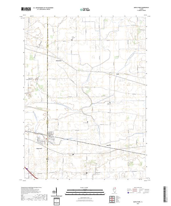 2024 Maple Park2024 Print · USGSDeKalb and Kane counties are mapped here in the 2020s, showing the settled prairie between Maple Park and Virgil. Researchers can trace family history through several rural burial grounds, including Van Vlack Cem and Saints Peter and Paul Cem.
 - 2024 Map of Hinckley, 2024 Print
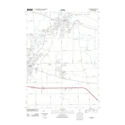
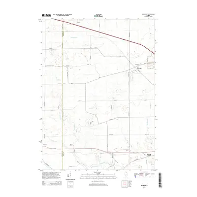
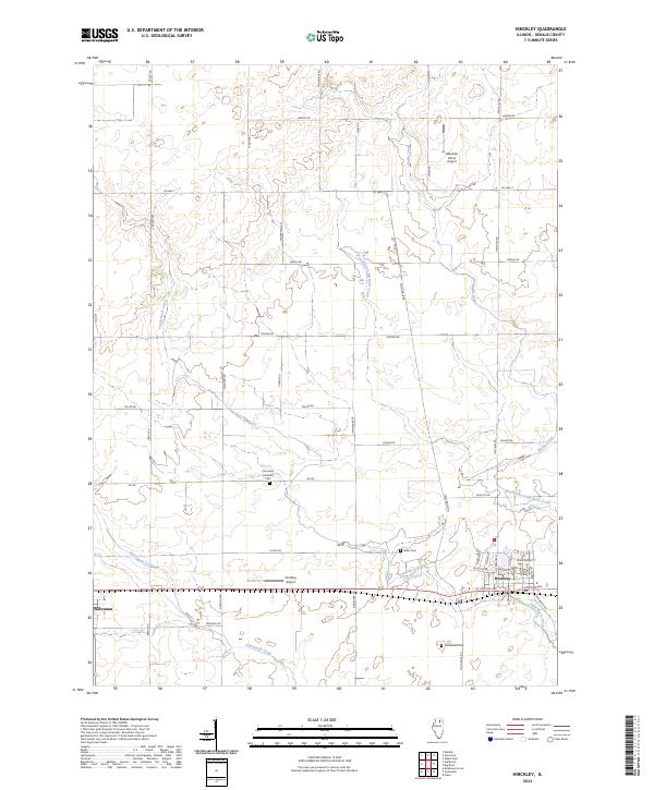 2024 Hinckley2024 Print · USGSDeKalb County enters the mid-2020s as a landscape of rural crossroads and prairie waterways centered on Hinckley and Waterman. Genealogists and researchers can trace family landmarks like Immanuel Lutheran Cem and Miller Cem or locate the small runways at Marshall Farms Airport.
 - 2024 Map of Big Rock, 2024 Print
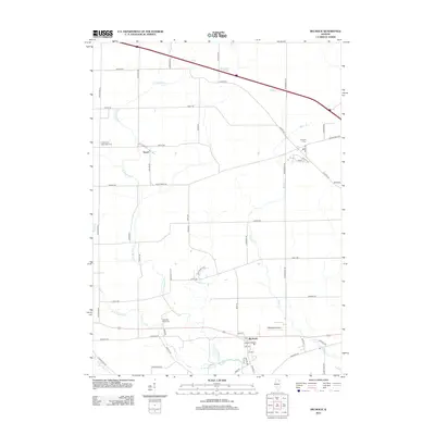
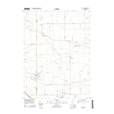
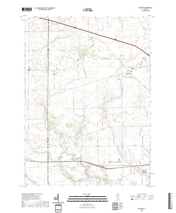 2024 Big Rock2024 Print · USGSThe Kane and DeKalb county line area is captured here in its modern agricultural context. Genealogists and local historians can trace family plots at Kaneville Cem or West Big Rock Cem and locate rural landmarks like Troxel or Oakfield Airport.
 - 2024 Map of Sycamore, 2024 Print
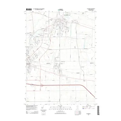
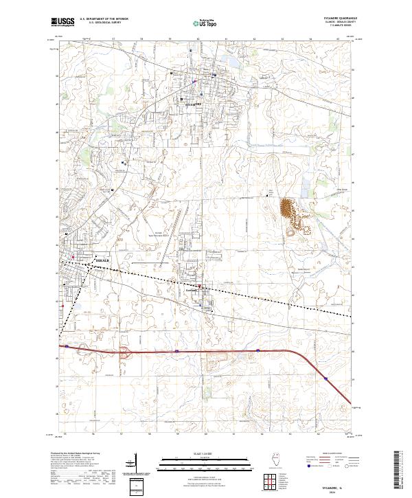 2024 Sycamore2024 Print · USGSDeKalb and Sycamore are shown in detail during their modern era of growth and connectivity. Researchers can trace land use through numerous cemeteries like Elmwood Cem or locate regional hubs such as the De Kalb Taylor Municipal Airport.
End of results
Showing maps 1-20 of 20
Top cities near Pierce Township
- Elgin historical maps
- DeKalb historical maps
- Rutland Township historical maps
- Yorkville historical maps
- Sycamore historical maps
- Campton Hills historical maps
See more
Frequently asked questions
- What are the different types of historical maps available for Pierce Township?
- What is the oldest map of Pierce Township?
- Where can I purchase historical maps of Pierce Township for my home or office?
- Where can I download high-res historical maps of Pierce Township?
- Are there historical topographic maps available for Pierce Township?
- Is there historical aerial imagery available for Pierce Township?
- Where are historical maps of Pierce Township sourced from?