2020s Maps of Douglas County, Illinois
Explore 30 historic maps of Douglas County from the 2020s. These maps offer a rare glimpse into what life looked like during the 2020s — showing old roads, neighborhoods, homes, and landmarks that have changed or disappeared over time.
Whether you're researching your family's past, planning a metal detecting trip, or studying how Douglas County's landscape evolved across the 2020s, these high-resolution maps are a powerful tool for exploring the history of this region.
- Focus on a specific era: All maps on this page are from the 2020s, giving you a focused view of this time period.
- See what’s changed: Compare century-old streets, trails, and buildings to today's modern landscape using overlays and satellite layers.
- Research with precision: Use these maps for genealogy, historical research, land use analysis, or educational projects.
- View, download, or print: Maps are fully viewable online in high resolution, and can be downloaded or printed for your own records.
Start exploring Douglas County's history through authentic maps from the 2020s. This is your window into the past.
Douglas County, IL maps
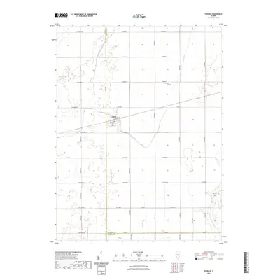
(30)- 2021 Map of Arthur, 2021 Print
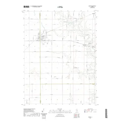 2021 Arthur2021 Print · USGSCovers Douglas County, including Bourbon, Arthur, and other nearby areas
 - 2021 Map of Hindsboro, 2021 Print
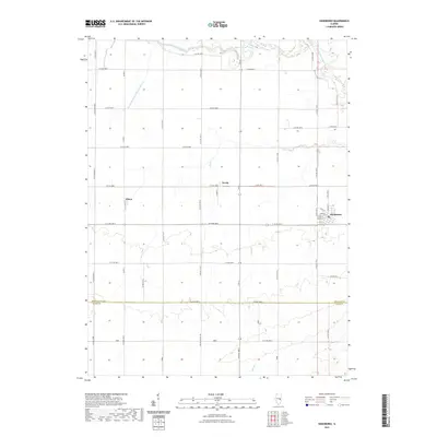 2021 Hindsboro2021 Print · USGSCovers Douglas County, including Hindsboro, Kemp, and other nearby areas
 - 2021 Map of Longview, 2021 Print
 2021 Longview2021 Print · USGSCovers Douglas County, including Broadlands, Longview, and other nearby areas
 - 2021 Map of Oakland, 2021 Print
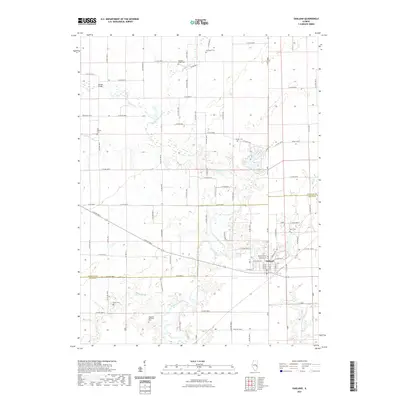 2021 Oakland2021 Print · USGSCovers Douglas County, including Oakland, Coles County, and other nearby areas
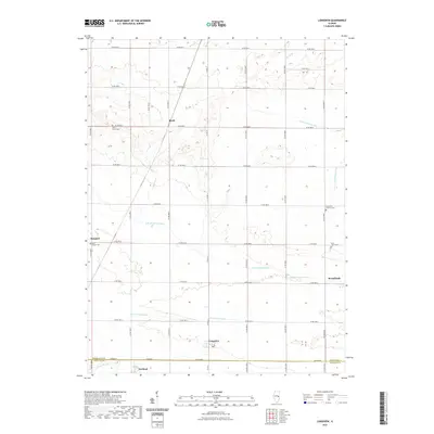
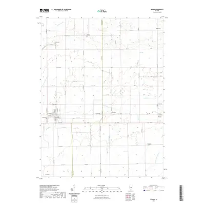
 - 2021 Map of Murdock, 2021 Print
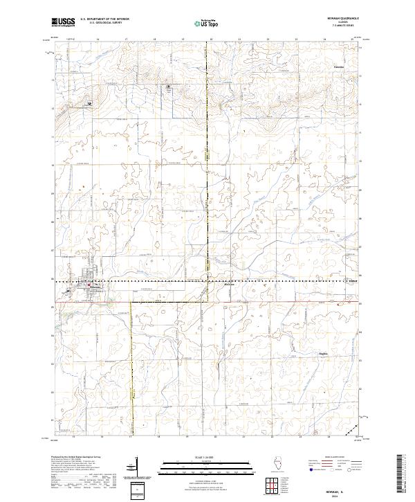
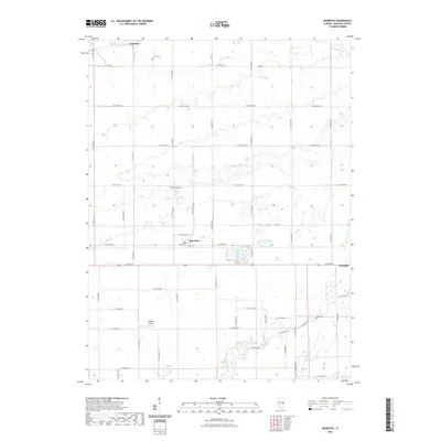 2021 Murdock2021 Print · USGSCovers Douglas County, including Newman, Murdock, and other nearby areas
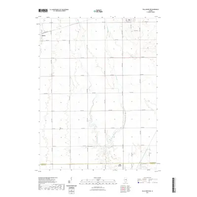
 - 2021 Map of Villa Grove, 2021 Print
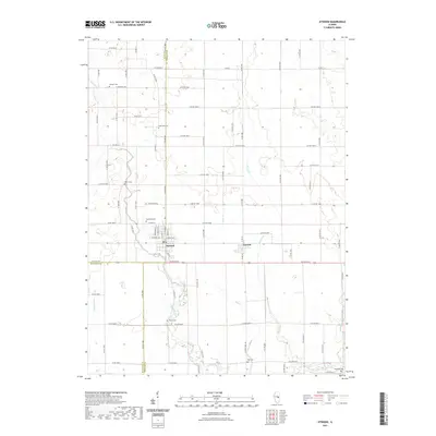
 2021 Villa Grove2021 Print · USGSCovers Douglas County, including Villa Grove, Camargo, and other nearby areas
 - 2021 Map of Atwood, 2021 Print
 2021 Atwood2021 Print · USGSCovers Douglas County, including Garrett, Mackville, and other nearby areas
 - 2021 Map of Tuscola, 2021 Print
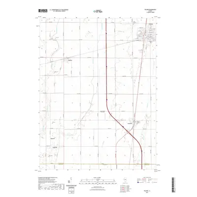
 2021 Tuscola2021 Print · USGSCovers Douglas County, including Tuscola, North Prairie Acres, and other nearby areas
 - 2021 Map of Ivesdale, 2021 Print
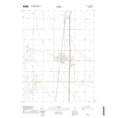
 2021 Ivesdale2021 Print · USGSCovers Douglas County, including Sloan Station, Ivesdale, and other nearby areas
 - 2021 Map of Villa Grove NW, 2021 Print
 2021 Villa Grove NW2021 Print · USGSCovers Douglas County, including Tolono, Villa Grove, and other nearby areas
 - 2021 Map of Allerton, 2021 Print
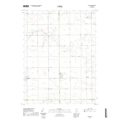 2021 Allerton2021 Print · USGSCovers Douglas County, including Broadlands, Allerton, and other nearby areas
 - 2021 Map of Brocton, 2021 Print
 2021 Brocton2021 Print · USGSCovers Douglas County, including Brocton, Kings, and other nearby areas
 - 2021 Map of Newman, 2021 Print
 2021 Newman2021 Print · USGSCovers Douglas County, including Newman, Hume, and other nearby areas
 - 2021 Map of Tolono, 2021 Print
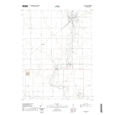
 2021 Tolono2021 Print · USGSCovers Douglas County, including Tolono, Pesotum, and other nearby areas
 - 2021 Map of Arcola, 2021 Print
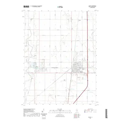
 2021 Arcola2021 Print · USGSCovers Douglas County, including Arcola, Galton, and other nearby areas
 - 2024 Map of Brocton, 2024 Print
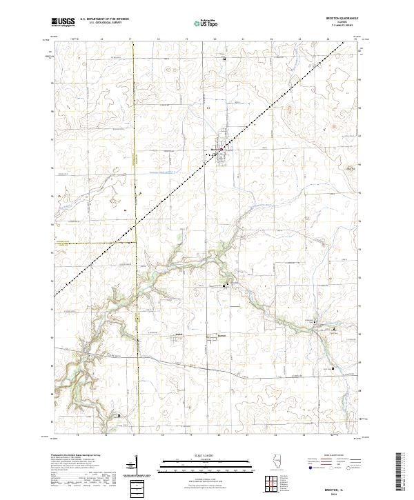 2024 Brocton2024 Print · USGSThe Edgar County prairie comes into focus at the intersection of three counties, showing a landscape of productive farm fields and small towns. Genealogists can trace family names through burial grounds like Catfish Point Cem, Scott Cem, and Zimmerman Cem.
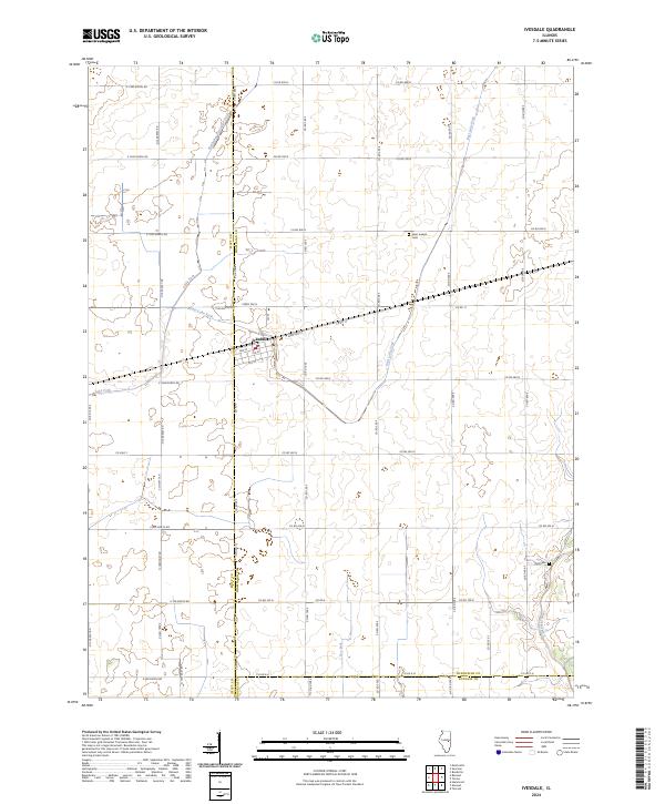
 - 2024 Map of Ivesdale, 2024 Print
 2024 Ivesdale2024 Print · USGSIvesdale stands at the meeting point of Piatt and Champaign counties during the early twenty-first century, surrounded by a productive landscape of well-ordered farmsteads. Researchers can trace the drainage networks of the Kaskaskia River and Lake Fork or locate family sites near Saint Joseph Cem.
 - 2024 Map of Murdock, 2024 Print
 2024 Murdock2024 Print · USGSModern Douglas County agriculture and rural life are centered around Murdock in this recent survey. Researchers can locate family sites at Murdock Cem and Jordan Cem or trace the essential drainage networks of Brushy Fork and Jordan Slough.
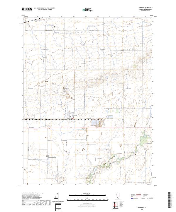
 - 2024 Map of Hindsboro, 2024 Print
 2024 Hindsboro2024 Print · USGSThe agricultural plains of Douglas County come into focus in this contemporary survey of central Illinois. Researchers can trace the layout of small-town streets in Hindsboro and locate the historic rural footprints of Kemp and Filson near the Embarras River.
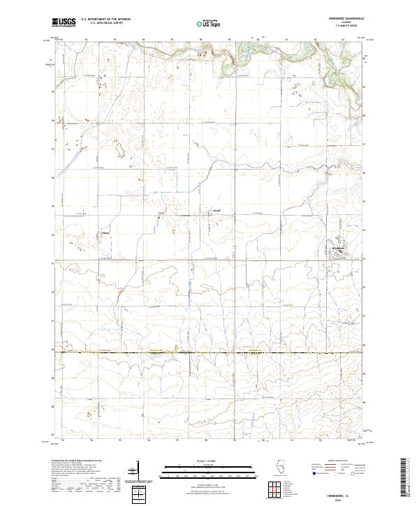
 - 2024 Map of Longview, 2024 Print
 2024 Longview2024 Print · USGSThe Champaign and Douglas County borderlands come into focus in this contemporary survey of East Central Illinois. Genealogists can locate family sites at Lynn Grove Cem and Saint Johns Cem or trace the early paths of Jordan Slough and Bongard.
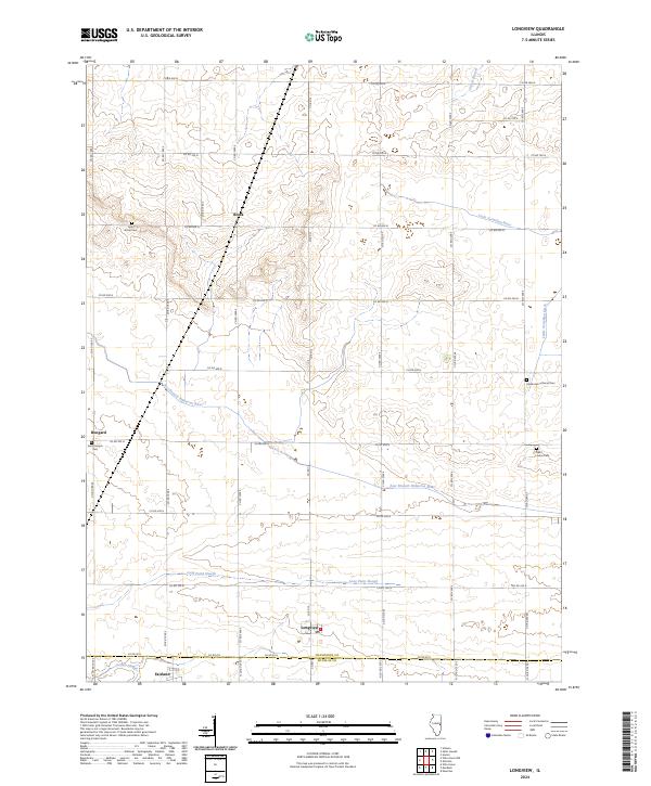
 - 2024 Map of Villa Grove NW, 2024 Print
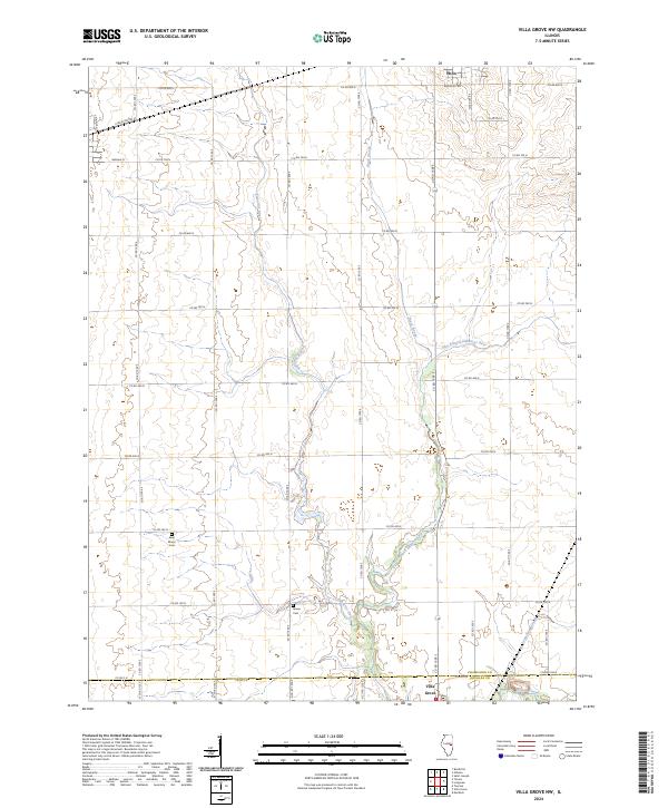 2024 Villa Grove NW2024 Print · USGSThe Champaign and Douglas County borderlands are surveyed here in the mid-2020s, revealing a landscape defined by the winding Embarras River. Local historians can trace established rural landmarks such as Saint Marys Cem, Jessee Cem, and the outskirts of Philo.
 - 2024 Map of Allerton, 2024 Print
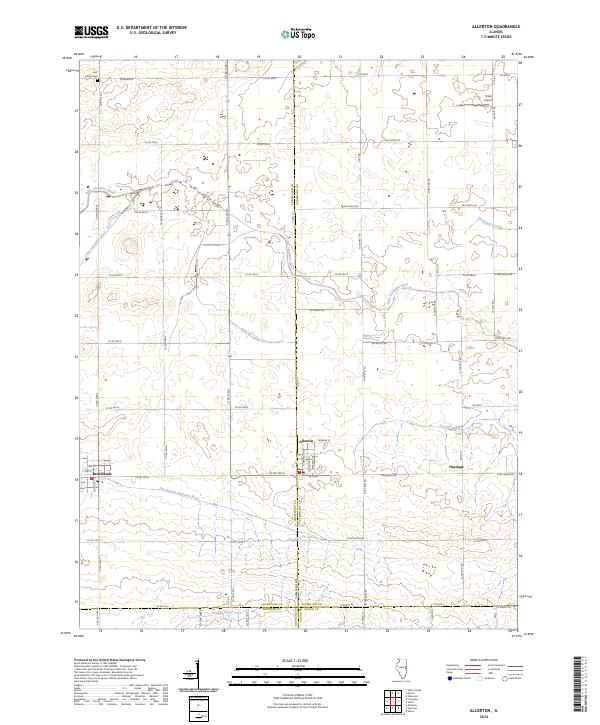 2024 Allerton2024 Print · USGSThe Champaign and Vermilion county line comes alive in this 2024 survey of the central Illinois prairie. Researchers can trace the village streets of Allerton and Broadlands, locate the Lost Grove Cem, and follow the winding Little Vermilion River.
 - 2024 Map of Newman, 2024 Print
 2024 Newman2024 Print · USGSEastern Illinois farm country at the Douglas and Edgar County border is meticulously documented in this recent survey. Genealogists can trace family connections through the Fairfield Cem and Pleasant Ridge Cem, or locate rural settlements like Palermo and McCown.
 - 2024 Map of Tolono, 2024 Print
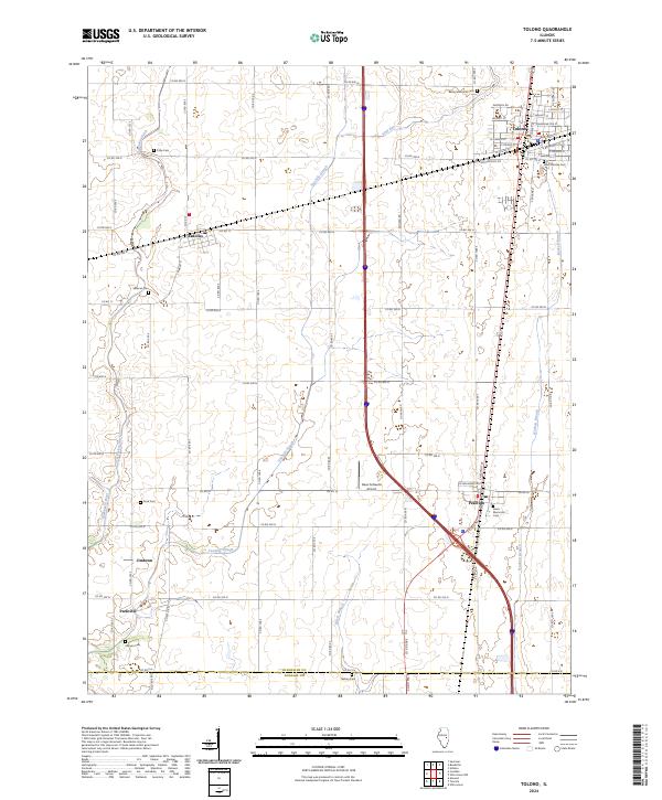 2024 Tolono2024 Print · USGSChampaign County at the present day retains its deep agricultural roots and established rail-town centers. Genealogists and local historians can trace family plots at Saint Patricks Cem or Sadorus Cem and locate smaller settlements like Jimtown and Parkville.
 - 2024 Map of Arcola, 2024 Print
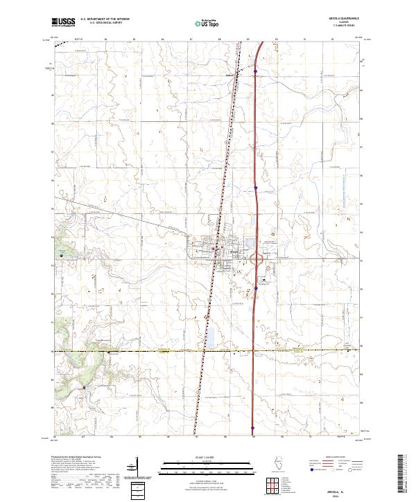 2024 Arcola2024 Print · USGSThe prairie landscape of Douglas and Coles counties is shown in the twenty-first century, centered on the historic hub of Arcola. Genealogists can trace family heritage at Arcola Township Cem, Brann Cem, or East Humboldt Cem while following the path of the Kaskaskia River.
Showing maps 1-25 of 30
Top cities of Douglas County
- Tuscola historical maps
- Arcola historical maps
- Villa Grove historical maps
- Newman historical maps
- Camargo historical maps
- Hindsboro historical maps
See more
Frequently asked questions
- What are the different types of historical maps available for Douglas County?
- What is the oldest map of Douglas County?
- Where can I purchase historical maps of Douglas County for my home or office?
- Where can I download high-res historical maps of Douglas County?
- Are there historical topographic maps available for Douglas County?
- Is there historical aerial imagery available for Douglas County?
- Where are historical maps of Douglas County sourced from?