Old Maps of Newman, Illinois for Academic Research
Study the evolution of Newman with 24 high-resolution historic maps. Whether you're teaching, researching, or modeling changes in land use, these maps provide essential visual documentation of urban, environmental, and geographic change.
- Analyze long-term change: Track patterns in development, transportation, and natural features.
- Ideal for environmental or urban studies: Support academic projects with primary historical map data.
- Use in the classroom or lab: Educators and researchers rely on these maps to bring historical context to life.
These maps are a powerful tool for teaching, research, and visualizing how Newman has changed over the decades.
Newman, IL maps
(24)- 1953 Map of Indianapolis, 1965 Print
 1953 Indianapolis1965 Print · USGSCentral Indiana and the Illinois borderlands are captured in the mid-sixties, showing the growth of Indianapolis and its industrial rail corridors. Genealogists and historians can trace the development of outlying towns like Zionsville or Beech Grove and find landmarks such as Atterbury AAF and Turkey Run State Park.4 unique versions available
 - 1956 Map of Indianapolis
 1956 Indianapolis1956 Print · USGSCentral Indiana in the mid-fifties is captured during a period of industrial growth and military presence. Genealogists and historians can trace the rail networks of the New York Central or locate regional landmarks like Fort Benjamin Harrison and Camp Atterbury.
 - 1956 Map of Newman, 1957 Print
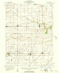 1956 Newman1957 Print · USGSThe borderlands of Champaign and Douglas counties are seen here in the mid-fifties, when small-town rail depots still served as the region's heartbeat. Genealogists can trace family names through rural landmarks like Stutler Cem, Fairfield Ch, and the small community of Maizetown.2 unique versions available
 - 1956 Map of Villa Grove, 1957 Print
 1956 Villa Grove1957 Print · USGSVilla Grove and the rural townships of Douglas and Champaign Counties are shown in the mid-1950s, a period defined by small-town rail commerce and fertile prairie farmland. Genealogists can locate family landmarks like Patterson Springs, Lynn Grove Cem, and St Mary Sch.2 unique versions available
 - 1957 Map of Indianapolis
 1957 Indianapolis1957 Print · USGSCentral Indiana in the mid-fifties is captured here as a crossroads of major rail lines and nascent federal highways. Genealogists and historians can trace family-named ridges like Poplar Ridge or locate strategic sites like Camp Atterbury and Speedway.2 unique versions available
 - 1958 Map of Decatur, 1971 Print
 1958 Decatur1971 Print · USGSCentral Illinois in the mid-twentieth century shows a landscape defined by industrial rail hubs and the creation of large reservoirs. Researchers can trace historic corridors like the Penn Central or locate landmarks such as Lincoln Log Cabin State Park and Lake Springfield.3 unique versions available
 - 1961 Map of Decatur
 1961 Decatur1961 Print · USGSCentral Illinois in the late fifties was a bustling corridor of rail lines and prairie commerce centered on the state capital. Genealogists and historians can trace the intricate connections between Springfield, Decatur, and dozens of smaller settlements like Nokomis and Arcola.2 unique versions available
 - 1962 Map of Indianapolis
 1962 Indianapolis1962 Print · USGSCentral Indiana and the Illinois borderlands are captured here in the early sixties, showing the region's dense rail networks and growing urban centers. Genealogists and historians can locate family-named landmarks and institutions like Crown Hill Cem, Indiana University, and the Indianapolis Motor Speedway.
 - 1982 Map of Murdock, 1983 Print
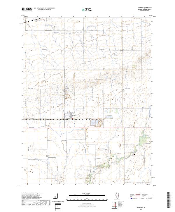
 1982 Murdock1983 Print · USGSDouglas County’s prairie landscape was a crossroads of industry and agriculture in the early eighties. Genealogists and historians can trace rail-side developments in Murdock and Fairland, or locate rural landmarks like Wesley Chapel and the old Albin Cem.
 - 1982 Map of Newman, 1983 Print
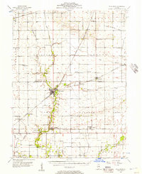
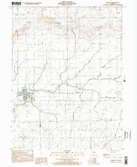
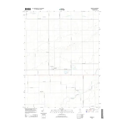
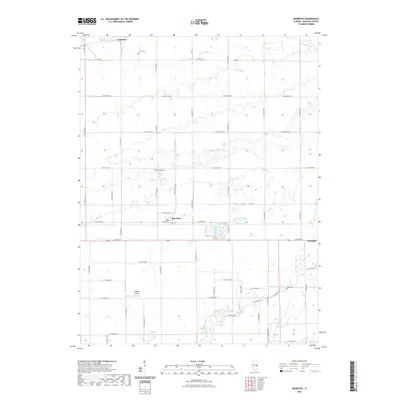
 1982 Newman1983 Print · USGSIn the early 1980s, the Illinois prairie around Newman and Hume remained a strictly ordered landscape of agriculture and rail transport. Genealogists and local historians can trace rural landmarks like Fairfield Ch, Pleasant Ridge Cem, and the historic Baltimore and Ohio railroad corridor.
 - 1985 Map of Decatur
 1985 Decatur1985 Print · USGSCentral Illinois farming and rail hubs thrive in the mid-1980s as Decatur anchors a sprawling network of track and timber. Trace the paths of the Sangamon River and the Illinois Central Gulf RR through old towns like Cerro Gordo and Bement.2 unique versions available
 - 1986 Map of Paris
 1986 Paris1986 Print · USGSThe Illinois-Indiana borderlands thrive in the mid-1980s as a hub of river-side industry and fertile farmland. Genealogists and historians can trace rail-centered settlements like Chrisman and Metcalf, or locate family sites at the Quaker Cem and Bethel Ch.2 unique versions available
 - 1998 Map of Newman, 2002 Print
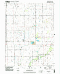
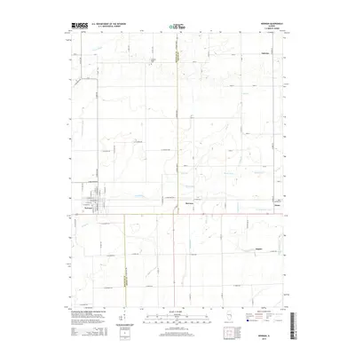
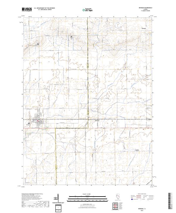
 1998 Newman2002 Print · USGSDouglas and Edgar counties come into focus during the late 1990s, centered on the residential grid of Newman. Genealogists and local historians can locate Pleasant Ridge Cem, trace the waters of Brushy Fork, and find rural landmarks like Palermo Ch.
 - 1998 Map of Murdock, 2003 Print
 1998 Murdock2003 Print · USGSThe rural prairie of Douglas County is captured in the late nineties, showing a landscape defined by agriculture and coal mining. Researchers can trace family history at Wesley Chapel and Murdock Cem or locate industrial sites like the Mine Shaft and Mine Dump.
 - 2012 Map of Murdock, 2012 Print
 2012 Murdock2012 Print · USGSCovers Newman, including Murdock, Douglas County, and other nearby areas
 - 2012 Map of Newman, 2012 Print
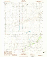
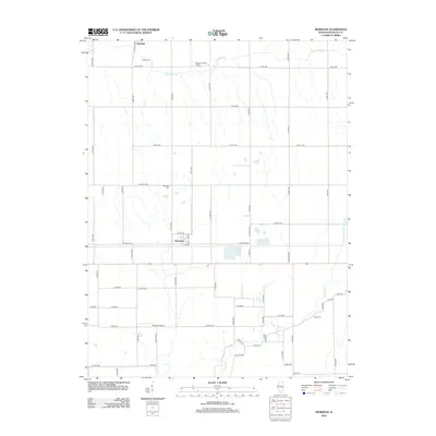
 2012 Newman2012 Print · USGSCovers Newman, including Hume, Palermo, and other nearby areas
 - 2015 Map of Murdock, 2015 Print
 2015 Murdock2015 Print · USGSCovers Newman, including Murdock, Douglas County, and other nearby areas
 - 2015 Map of Newman, 2015 Print
 2015 Newman2015 Print · USGSCovers Newman, including Hume, Palermo, and other nearby areas
 - 2018 Map of Newman, 2018 Print
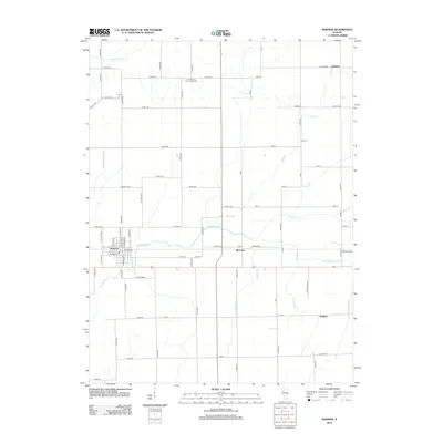
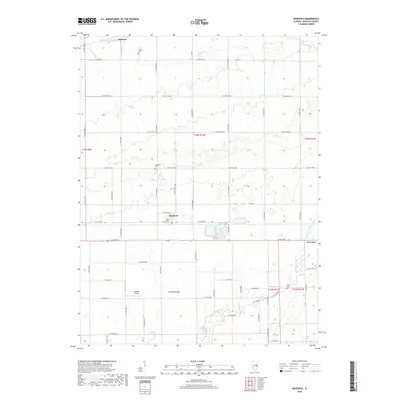
 2018 Newman2018 Print · USGSCovers Newman, including Hume, Palermo, and other nearby areas
 - 2018 Map of Murdock, 2018 Print
 2018 Murdock2018 Print · USGSCovers Newman, including Murdock, Douglas County, and other nearby areas
 - 2021 Map of Murdock, 2021 Print
 2021 Murdock2021 Print · USGSCovers Newman, including Murdock, Douglas County, and other nearby areas
 - 2021 Map of Newman, 2021 Print
 2021 Newman2021 Print · USGSCovers Newman, including Hume, Palermo, and other nearby areas
 - 2024 Map of Murdock, 2024 Print
 2024 Murdock2024 Print · USGSModern Douglas County agriculture and rural life are centered around Murdock in this recent survey. Researchers can locate family sites at Murdock Cem and Jordan Cem or trace the essential drainage networks of Brushy Fork and Jordan Slough.
 - 2024 Map of Newman, 2024 Print
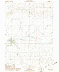
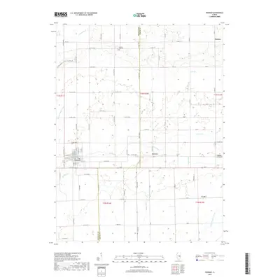
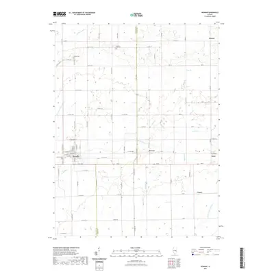
 2024 Newman2024 Print · USGSEastern Illinois farm country at the Douglas and Edgar County border is meticulously documented in this recent survey. Genealogists can trace family connections through the Fairfield Cem and Pleasant Ridge Cem, or locate rural settlements like Palermo and McCown.
End of results
Showing maps 1-24 of 24
Top cities near Newman
- Villa Grove historical maps
- Philo historical maps
- Sidney historical maps
- Oakland historical maps
- Sidell historical maps
- Camargo historical maps
See more
Frequently asked questions
- What are the different types of historical maps available for Newman?
- What is the oldest map of Newman?
- Where can I purchase historical maps of Newman for my home or office?
- Where can I download high-res historical maps of Newman?
- Are there historical topographic maps available for Newman?
- Is there historical aerial imagery available for Newman?
- Where are historical maps of Newman sourced from?