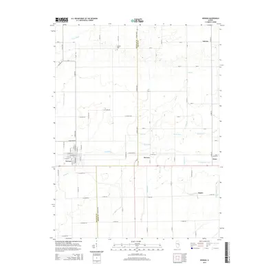
2015 Map of Newman
USGS Topo · Published 2015About this map
The border of Douglas Co and Edgar Co defines the eastern portion of this landscape, where the prairie transitions into a network of small agricultural settlements and drainage systems. Newman serves as the primary hub in the west, with its grid of streets such as N Broadway St and W Green St providing a clear contrast to the surrounding section-line roads. Small community markers like McCown, Hughes, and the northern outpost of Palermo reveal the distributed nature of local commerce and residency during this era.
Find a feature on this map
74 named features on this map. Tap any name to fly to it.
Don’t see what you’re looking for? This feature index may not catch every label — zoom into the map to look around manually.
Map Details
Editions of this 2015 Newman Map
This is the sole edition of this map. No revisions or reprints were ever made.
Other maps of this area

1936 · Oakland
USGS Topo · 1:48,000

1942 · Oakland
USGS Topo · 1:62,500

1946 · Kansas
USGS Topo · 1:62,500

1949 · Kansas
USGS Topo · 1:62,500

1953 · Indianapolis
USGS Topo · 1:250,000

1956 · Indianapolis
USGS Topo · 1:250,000

1956 · Newman
USGS Topo · 1:62,500

1956 · Villa Grove
USGS Topo · 1:62,500

1957 · Indianapolis
USGS Topo · 1:250,000

1958 · Decatur
USGS Topo · 1:250,000