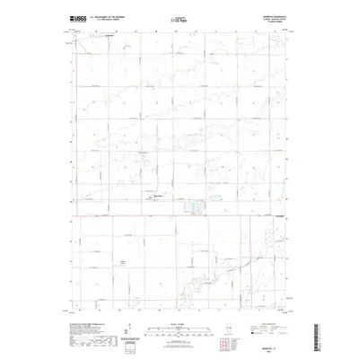
2021 Map of Murdock
USGS Topo · Published 2021About this map
Murdock and the northwestern edge of Newman anchor this Douglas County landscape, which is defined by the geometric precision of the Illinois prairie's section lines. The village of Murdock centers on W Main St, while the small settlement of Fairland sits at the northern edge of the survey area. This modern snapshot of the countryside preserves the locations of several important family and community landmarks, including Jordan Cem, Murdock Cem, and Albin Cem, which are scattered among the agricultural fields. The natural drainage of the region is traced by Jordan Slough and Brushy Fork, alongside man-made improvements like the Newman Number 2 Drain. This map also captures more modern infrastructure, such as the Mayhall Airport, situated south of the primary town centers and surrounded by a dense network of county roads like N Co Rd 1965 E.
Find a feature on this map
50 named features on this map. Tap any name to fly to it.
Don’t see what you’re looking for? This feature index may not catch every label — zoom into the map to look around manually.
Map Details
Editions of this 2021 Murdock Map
This is the sole edition of this map. No revisions or reprints were ever made.
Other maps of this area

1936 · Oakland
USGS Topo · 1:48,000

1942 · Oakland
USGS Topo · 1:62,500

1946 · Kansas
USGS Topo · 1:62,500

1949 · Kansas
USGS Topo · 1:62,500

1953 · Indianapolis
USGS Topo · 1:250,000

1956 · Indianapolis
USGS Topo · 1:250,000

1956 · Newman
USGS Topo · 1:62,500

1956 · Villa Grove
USGS Topo · 1:62,500

1957 · Indianapolis
USGS Topo · 1:250,000

1958 · Decatur
USGS Topo · 1:250,000