2000s (21st Century) Maps of Villa Grove, Illinois
Explore 10 historic maps of Villa Grove from the 2000s (21st Century). These maps offer a rare glimpse into what life looked like during the 2000s — showing old roads, neighborhoods, homes, and landmarks that have changed or disappeared over time.
Whether you're researching your family's past, planning a metal detecting trip, or studying how Villa Grove's landscape evolved across the 2000s, these high-resolution maps are a powerful tool for exploring the history of this region.
- Focus on a specific era: All maps on this page are from the 2000s, giving you a focused view of this time period.
- See what’s changed: Compare century-old streets, trails, and buildings to today's modern landscape using overlays and satellite layers.
- Research with precision: Use these maps for genealogy, historical research, land use analysis, or educational projects.
- View, download, or print: Maps are fully viewable online in high resolution, and can be downloaded or printed for your own records.
Start exploring Villa Grove's history through authentic maps from the 2000s. This is your window into the past.
Villa Grove, IL maps
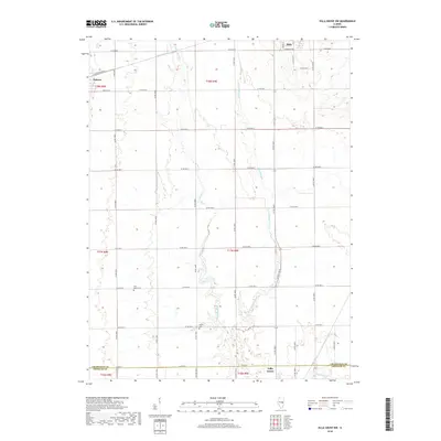
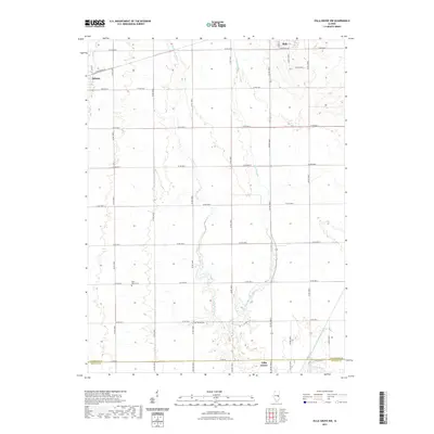
(10)- 2012 Map of Villa Grove, 2012 Print
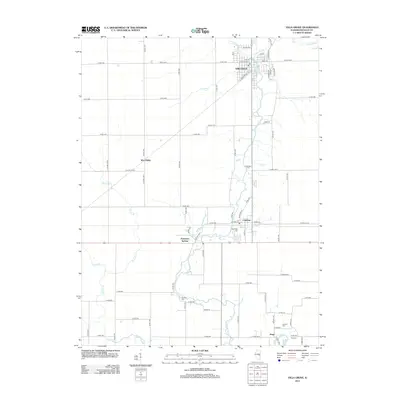 2012 Villa Grove2012 Print · USGSCovers Villa Grove, including Camargo, Patterson Springs, and other nearby areas
 - 2012 Map of Villa Grove NW, 2012 Print
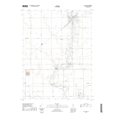
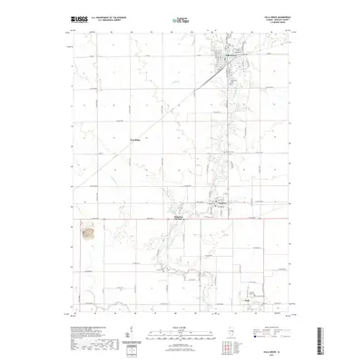
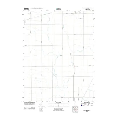 2012 Villa Grove NW2012 Print · USGSCovers Villa Grove, including Tolono, Philo, and other nearby areas
 - 2015 Map of Villa Grove, 2015 Print
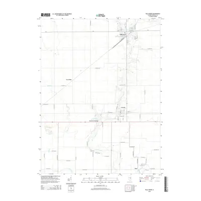 2015 Villa Grove2015 Print · USGSCovers Villa Grove, including Camargo, Patterson Springs, and other nearby areas
 - 2015 Map of Villa Grove NW, 2015 Print
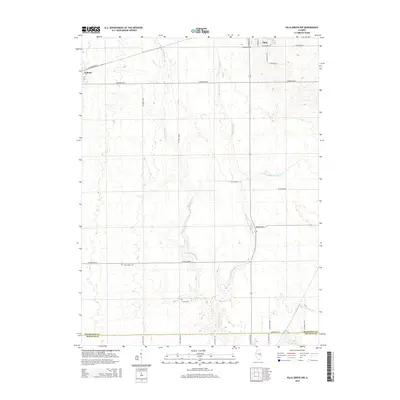 2015 Villa Grove NW2015 Print · USGSCovers Villa Grove, including Tolono, Philo, and other nearby areas
 - 2018 Map of Villa Grove NW, 2018 Print
 2018 Villa Grove NW2018 Print · USGSCovers Villa Grove, including Tolono, Philo, and other nearby areas
 - 2018 Map of Villa Grove, 2018 Print
 2018 Villa Grove2018 Print · USGSCovers Villa Grove, including Camargo, Patterson Springs, and other nearby areas
 - 2021 Map of Villa Grove, 2021 Print
 2021 Villa Grove2021 Print · USGSCovers Villa Grove, including Camargo, Patterson Springs, and other nearby areas
 - 2021 Map of Villa Grove NW, 2021 Print
 2021 Villa Grove NW2021 Print · USGSCovers Villa Grove, including Tolono, Philo, and other nearby areas
 - 2024 Map of Villa Grove NW, 2024 Print
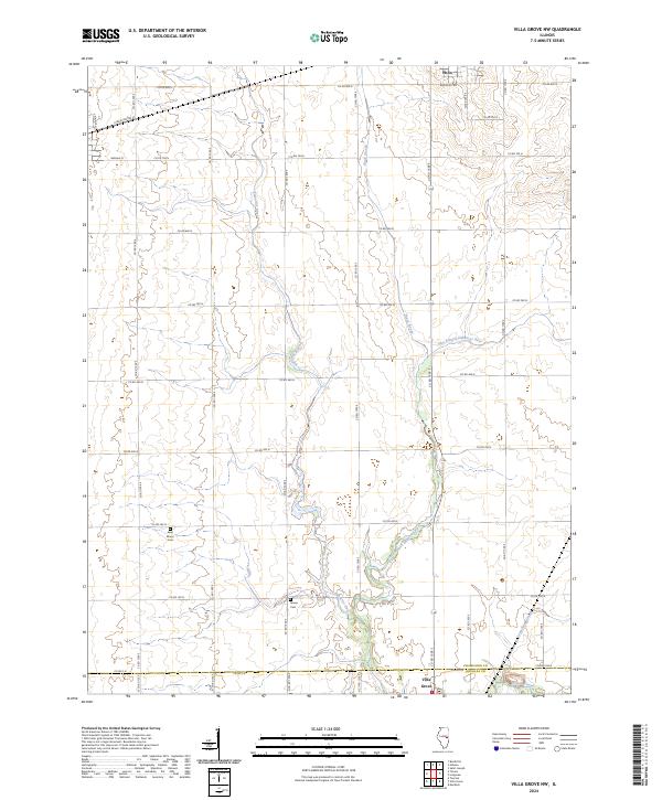 2024 Villa Grove NW2024 Print · USGSThe Champaign and Douglas County borderlands are surveyed here in the mid-2020s, revealing a landscape defined by the winding Embarras River. Local historians can trace established rural landmarks such as Saint Marys Cem, Jessee Cem, and the outskirts of Philo.
 - 2024 Map of Villa Grove, 2024 Print
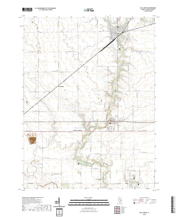 2024 Villa Grove2024 Print · USGSDouglas County’s agricultural heartland is documented here in the 2020s, centered on the river valley south of the Villa Grove rail corridors. Local historians can trace old community footprints and rural burial sites like Oak Ridge Cem, Broadus Cem, and the settlement of Camargo.
End of results
Showing maps 1-10 of 10
Top cities near Villa Grove
- Champaign historical maps
- Urbana historical maps
- Savoy historical maps
- Tuscola historical maps
- Tolono historical maps
- Arcola historical maps
See more
Frequently asked questions
- What are the different types of historical maps available for Villa Grove?
- What is the oldest map of Villa Grove?
- Where can I purchase historical maps of Villa Grove for my home or office?
- Where can I download high-res historical maps of Villa Grove?
- Are there historical topographic maps available for Villa Grove?
- Is there historical aerial imagery available for Villa Grove?
- Where are historical maps of Villa Grove sourced from?