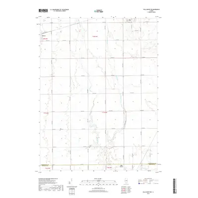
2018 Map of Villa Grove NW
USGS Topo · Published 2018About this map
The upper reaches of the Embarras River define the agricultural landscape of south-central Champaign County in this 2018 survey. The terrain is a network of drainage systems, including Black Slough, Long-Point Slough, and the E Br Embarras River, which supported the development of some of Illinois' most productive farmland. The village of Tolono occupies the northwestern corner, situated at a historically significant junction of transportation lines that fueled the growth of the region's grain economy.
Find a feature on this map
31 named features on this map. Tap any name to fly to it.
Don’t see what you’re looking for? This feature index may not catch every label — zoom into the map to look around manually.
Map Details
Editions of this 2018 Villa Grove NW Map
This is the sole edition of this map. No revisions or reprints were ever made.
Other maps of this area

1906 · Urbana
USGS Topo · 1:62,500

1907 · Mahomet
USGS Topo · 1:62,500

1950 · Tuscola
USGS Topo · 1:62,500

1956 · Villa Grove
USGS Topo · 1:62,500

1957 · Urbana
USGS Topo · 1:62,500

1957 · Urbana
USGS Topo · 1:24,000

1957 · Mahomet
USGS Topo · 1:62,500

1957 · Bondville
USGS Topo · 1:24,000

1958 · Peoria
USGS Topo · 1:250,000

1958 · Decatur
USGS Topo · 1:250,000