Old Maps of Villa Grove, Illinois for Academic Research
Study the evolution of Villa Grove with 18 high-resolution historic maps. Whether you're teaching, researching, or modeling changes in land use, these maps provide essential visual documentation of urban, environmental, and geographic change.
- Analyze long-term change: Track patterns in development, transportation, and natural features.
- Ideal for environmental or urban studies: Support academic projects with primary historical map data.
- Use in the classroom or lab: Educators and researchers rely on these maps to bring historical context to life.
These maps are a powerful tool for teaching, research, and visualizing how Villa Grove has changed over the decades.
Villa Grove, IL maps
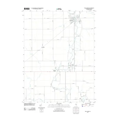
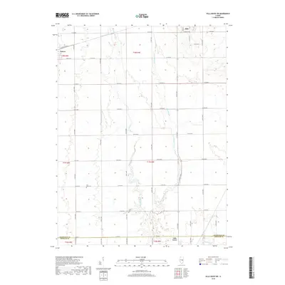
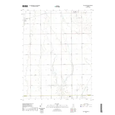
(18)- 1956 Map of Villa Grove, 1957 Print
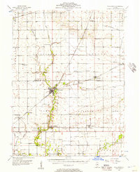 1956 Villa Grove1957 Print · USGSVilla Grove and the rural townships of Douglas and Champaign Counties are shown in the mid-1950s, a period defined by small-town rail commerce and fertile prairie farmland. Genealogists can locate family landmarks like Patterson Springs, Lynn Grove Cem, and St Mary Sch.2 unique versions available
 - 1958 Map of Decatur, 1971 Print
 1958 Decatur1971 Print · USGSCentral Illinois in the mid-twentieth century shows a landscape defined by industrial rail hubs and the creation of large reservoirs. Researchers can trace historic corridors like the Penn Central or locate landmarks such as Lincoln Log Cabin State Park and Lake Springfield.3 unique versions available
 - 1961 Map of Decatur
 1961 Decatur1961 Print · USGSCentral Illinois in the late fifties was a bustling corridor of rail lines and prairie commerce centered on the state capital. Genealogists and historians can trace the intricate connections between Springfield, Decatur, and dozens of smaller settlements like Nokomis and Arcola.2 unique versions available
 - 1982 Map of Villa Grove, 1983 Print
 1982 Villa Grove1983 Print · USGSDouglas County in the early eighties centers on the river-and-rail corridor connecting Villa Grove and Camargo. Genealogists and local historians can trace family plots at Hammett Cem and Broadus Cem or locate the old Quarry along Hackett Branch.
 - 1982 Map of Villa Grove NW, 1983 Print
 1982 Villa Grove NW1983 Print · USGSThe Champaign and Douglas County line comes alive in the early eighties as the local rail-and-river economy persists. Trace family roots and rural landmarks from Jessee Cem to the tracks of the Norfolk and Western in Philo and Tolono.
 - 1985 Map of Decatur
 1985 Decatur1985 Print · USGSCentral Illinois farming and rail hubs thrive in the mid-1980s as Decatur anchors a sprawling network of track and timber. Trace the paths of the Sangamon River and the Illinois Central Gulf RR through old towns like Cerro Gordo and Bement.2 unique versions available
 - 1998 Map of Villa Grove NW, 2003 Print
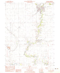
 1998 Villa Grove NW2003 Print · USGSChampaign County at the close of the twentieth century reveals a highly organized agricultural landscape shaped by the Embarras River. Researchers can trace local heritage through sites like Jessee Cem, St Mary Sch, and the Townhall in Crittenden.
 - 1998 Map of Villa Grove, 2003 Print
 1998 Villa Grove2003 Print · USGSDouglas County agriculture and river life are on full display in this late-nineties survey. Genealogists can locate several rural burial grounds like Antioch Cem and Broadus Cem or trace the winding Embarras River past Camargo.
 - 2012 Map of Villa Grove, 2012 Print
 2012 Villa Grove2012 Print · USGSCovers Villa Grove, including Camargo, Patterson Springs, and other nearby areas
 - 2012 Map of Villa Grove NW, 2012 Print
 2012 Villa Grove NW2012 Print · USGSCovers Villa Grove, including Tolono, Philo, and other nearby areas
 - 2015 Map of Villa Grove, 2015 Print
 2015 Villa Grove2015 Print · USGSCovers Villa Grove, including Camargo, Patterson Springs, and other nearby areas
 - 2015 Map of Villa Grove NW, 2015 Print
 2015 Villa Grove NW2015 Print · USGSCovers Villa Grove, including Tolono, Philo, and other nearby areas
 - 2018 Map of Villa Grove NW, 2018 Print
 2018 Villa Grove NW2018 Print · USGSCovers Villa Grove, including Tolono, Philo, and other nearby areas
 - 2018 Map of Villa Grove, 2018 Print
 2018 Villa Grove2018 Print · USGSCovers Villa Grove, including Camargo, Patterson Springs, and other nearby areas
 - 2021 Map of Villa Grove, 2021 Print
 2021 Villa Grove2021 Print · USGSCovers Villa Grove, including Camargo, Patterson Springs, and other nearby areas
 - 2021 Map of Villa Grove NW, 2021 Print
 2021 Villa Grove NW2021 Print · USGSCovers Villa Grove, including Tolono, Philo, and other nearby areas
 - 2024 Map of Villa Grove NW, 2024 Print
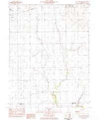
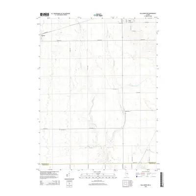
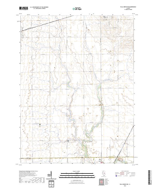 2024 Villa Grove NW2024 Print · USGSThe Champaign and Douglas County borderlands are surveyed here in the mid-2020s, revealing a landscape defined by the winding Embarras River. Local historians can trace established rural landmarks such as Saint Marys Cem, Jessee Cem, and the outskirts of Philo.
 - 2024 Map of Villa Grove, 2024 Print
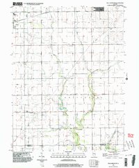
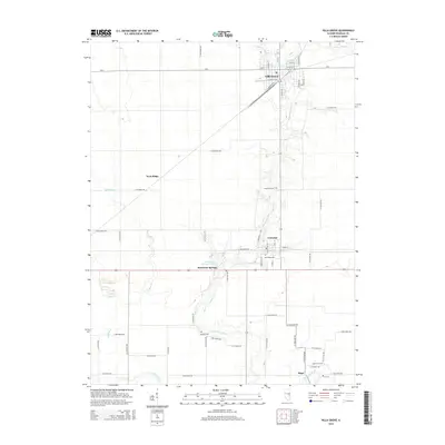
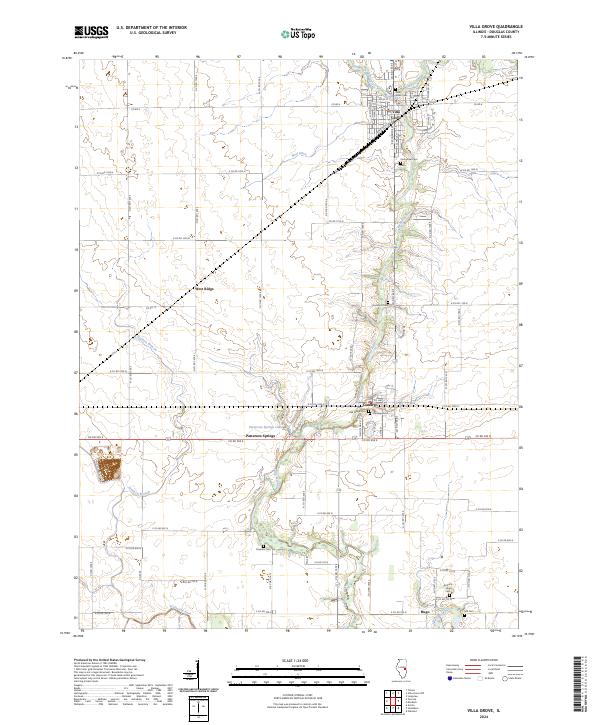 2024 Villa Grove2024 Print · USGSDouglas County’s agricultural heartland is documented here in the 2020s, centered on the river valley south of the Villa Grove rail corridors. Local historians can trace old community footprints and rural burial sites like Oak Ridge Cem, Broadus Cem, and the settlement of Camargo.
End of results
Showing maps 1-18 of 18
Top cities near Villa Grove
- Champaign historical maps
- Urbana historical maps
- Savoy historical maps
- Tuscola historical maps
- Tolono historical maps
- Arcola historical maps
See more
Frequently asked questions
- What are the different types of historical maps available for Villa Grove?
- What is the oldest map of Villa Grove?
- Where can I purchase historical maps of Villa Grove for my home or office?
- Where can I download high-res historical maps of Villa Grove?
- Are there historical topographic maps available for Villa Grove?
- Is there historical aerial imagery available for Villa Grove?
- Where are historical maps of Villa Grove sourced from?