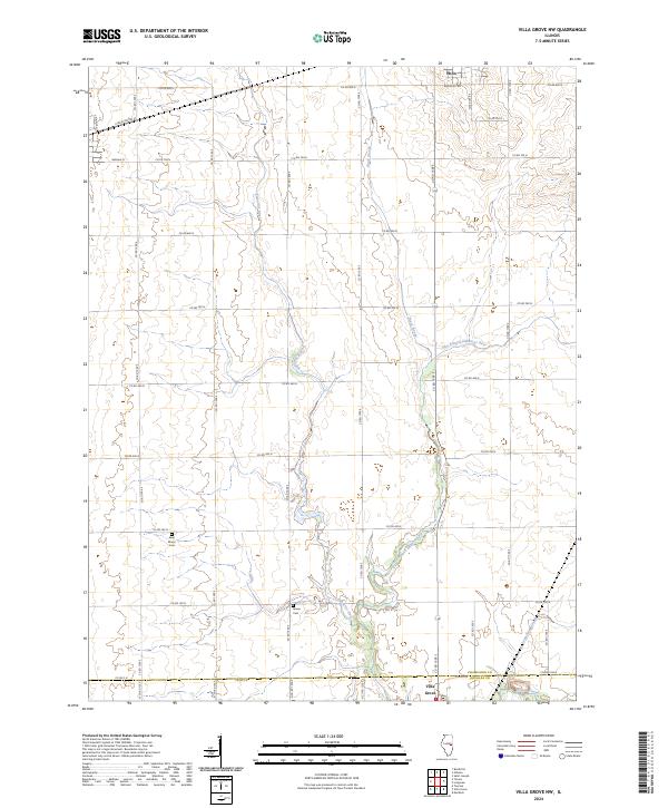
2024 Map of Villa Grove NW
USGS Topo · Published 2024About this map
The Embarras River and its tributaries carve a winding path through the agricultural landscape of south-central Illinois, defining the rural character of the borderlands between Champaign Co and Douglas Co. The drainage network, including Black Slough and the East Branch Embarras River, dictates the placement of the region's historic infrastructure. Higher ground is reserved for long-standing rural landmarks like Saint Marys Cem and Jessee Cem, which serve as permanent records of the early families who settled this fertile prairie.
Find a feature on this map
39 named features on this map. Tap any name to fly to it.
Don’t see what you’re looking for? This feature index may not catch every label — zoom into the map to look around manually.
Map Details
Editions of this 2024 Villa Grove NW Map
This is the sole edition of this map. No revisions or reprints were ever made.
Other maps of this area

1906 · Urbana
USGS Topo · 1:62,500

1907 · Mahomet
USGS Topo · 1:62,500

1950 · Tuscola
USGS Topo · 1:62,500

1956 · Villa Grove
USGS Topo · 1:62,500

1957 · Urbana
USGS Topo · 1:62,500

1957 · Urbana
USGS Topo · 1:24,000

1957 · Mahomet
USGS Topo · 1:62,500

1957 · Bondville
USGS Topo · 1:24,000

1958 · Peoria
USGS Topo · 1:250,000

1958 · Decatur
USGS Topo · 1:250,000