2000s (21st Century) Maps of Hume, Illinois
Explore 10 historic maps of Hume from the 2000s (21st Century). These maps offer a rare glimpse into what life looked like during the 2000s — showing old roads, neighborhoods, homes, and landmarks that have changed or disappeared over time.
Whether you're researching your family's past, planning a metal detecting trip, or studying how Hume's landscape evolved across the 2000s, these high-resolution maps are a powerful tool for exploring the history of this region.
- Focus on a specific era: All maps on this page are from the 2000s, giving you a focused view of this time period.
- See what’s changed: Compare century-old streets, trails, and buildings to today's modern landscape using overlays and satellite layers.
- Research with precision: Use these maps for genealogy, historical research, land use analysis, or educational projects.
- View, download, or print: Maps are fully viewable online in high resolution, and can be downloaded or printed for your own records.
Start exploring Hume's history through authentic maps from the 2000s. This is your window into the past.
Hume, IL maps
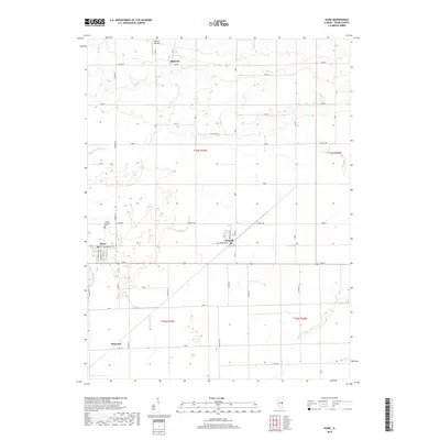
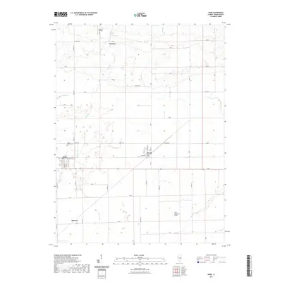
(10)- 2012 Map of Hume, 2012 Print
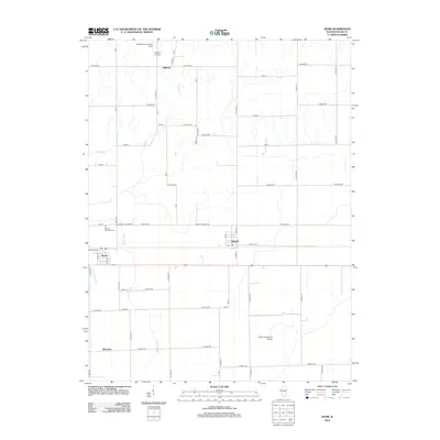 2012 Hume2012 Print · USGSCovers Hume, including Metcalf, Hildreth, and other nearby areas
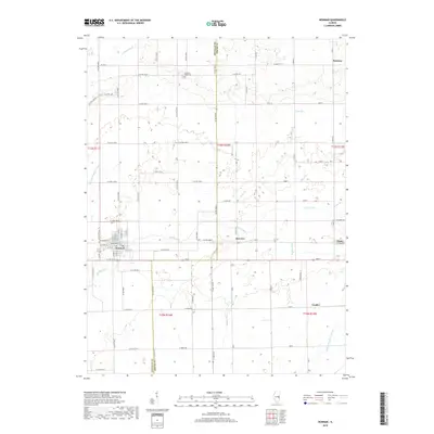
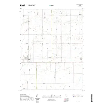
 - 2012 Map of Newman, 2012 Print
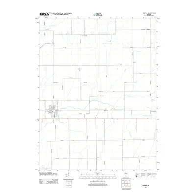 2012 Newman2012 Print · USGSCovers Hume, including Newman, Palermo, and other nearby areas
 - 2015 Map of Hume, 2015 Print
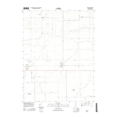 2015 Hume2015 Print · USGSCovers Hume, including Metcalf, Hildreth, and other nearby areas
 - 2015 Map of Newman, 2015 Print
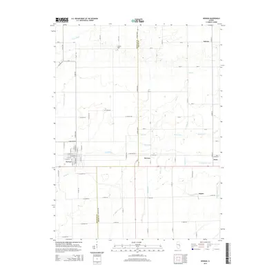 2015 Newman2015 Print · USGSCovers Hume, including Newman, Palermo, and other nearby areas
 - 2018 Map of Hume, 2018 Print
 2018 Hume2018 Print · USGSCovers Hume, including Metcalf, Hildreth, and other nearby areas
 - 2018 Map of Newman, 2018 Print
 2018 Newman2018 Print · USGSCovers Hume, including Newman, Palermo, and other nearby areas
 - 2021 Map of Hume, 2021 Print
 2021 Hume2021 Print · USGSCovers Hume, including Metcalf, Hildreth, and other nearby areas
 - 2021 Map of Newman, 2021 Print
 2021 Newman2021 Print · USGSCovers Hume, including Newman, Palermo, and other nearby areas
 - 2024 Map of Hume, 2024 Print
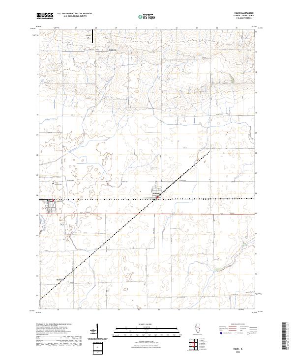 2024 Hume2024 Print · USGSHume and Metcalf are situated in the heart of the Illinois prairie in the early twenty-first century, showcasing a landscape of structured agriculture and small-town grids. Researchers can trace local heritage at Young America Cem and locate rural aviation hubs like Hildreth Air Park.
 - 2024 Map of Newman, 2024 Print
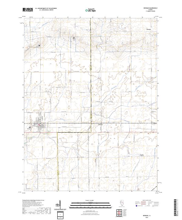 2024 Newman2024 Print · USGSEastern Illinois farm country at the Douglas and Edgar County border is meticulously documented in this recent survey. Genealogists can trace family connections through the Fairfield Cem and Pleasant Ridge Cem, or locate rural settlements like Palermo and McCown.
End of results
Showing maps 1-10 of 10
Top cities near Hume
- Paris historical maps
- Georgetown historical maps
- Chrisman historical maps
- Sidney historical maps
- Oakland historical maps
- Newman historical maps
See more
Frequently asked questions
- What are the different types of historical maps available for Hume?
- What is the oldest map of Hume?
- Where can I purchase historical maps of Hume for my home or office?
- Where can I download high-res historical maps of Hume?
- Are there historical topographic maps available for Hume?
- Is there historical aerial imagery available for Hume?
- Where are historical maps of Hume sourced from?