Old Maps of Kansas, Illinois for Metal Detecting
Plan your next treasure hunt with 14 historic maps of Kansas. Find old homesites, ghost towns, trails, and gathering spots that may be lost to time — perfect for identifying promising metal detecting locations.
- Locate forgotten sites: Uncover places like long-lost settlements, abandoned rail lines, or gathering spots.
- Plan better hunts: Use map overlays combined with LiDAR or satellite views to narrow in on historically rich areas.
- Made for detectorists: Thousands of hobbyists use these maps to discover relics, coins, and hidden history.
Use these historic maps to boost your research and find new opportunities beneath the surface of Kansas.
Kansas, IL maps
(14)- 1946 Map of Kansas, 1977 Print
 1946 Kansas1977 Print · USGSThe intersection of the New York Central and Chicago and St Louis railroads defines this Illinois prairie landscape shortly after the war. Researchers can trace rural lineages through numerous country schools and cemeteries like College Sch, Shields Cem, and Redmon.
 - 1949 Map of Kansas
 1949 Kansas1949 Print · USGSEastern Illinois at the end of the 1940s reveals a robust landscape of rail-connected towns and country schools. Genealogists can trace family names at Shields Cem or locate community hubs like Embarrass Ch and the settlement of Redmon.2 unique versions available
 - 1953 Map of Indianapolis, 1965 Print
 1953 Indianapolis1965 Print · USGSCentral Indiana and the Illinois borderlands are captured in the mid-sixties, showing the growth of Indianapolis and its industrial rail corridors. Genealogists and historians can trace the development of outlying towns like Zionsville or Beech Grove and find landmarks such as Atterbury AAF and Turkey Run State Park.4 unique versions available
 - 1956 Map of Indianapolis
 1956 Indianapolis1956 Print · USGSCentral Indiana in the mid-fifties is captured during a period of industrial growth and military presence. Genealogists and historians can trace the rail networks of the New York Central or locate regional landmarks like Fort Benjamin Harrison and Camp Atterbury.
 - 1957 Map of Indianapolis
 1957 Indianapolis1957 Print · USGSCentral Indiana in the mid-fifties is captured here as a crossroads of major rail lines and nascent federal highways. Genealogists and historians can trace family-named ridges like Poplar Ridge or locate strategic sites like Camp Atterbury and Speedway.2 unique versions available
 - 1962 Map of Indianapolis
 1962 Indianapolis1962 Print · USGSCentral Indiana and the Illinois borderlands are captured here in the early sixties, showing the region's dense rail networks and growing urban centers. Genealogists and historians can locate family-named landmarks and institutions like Crown Hill Cem, Indiana University, and the Indianapolis Motor Speedway.
 - 1982 Map of Kansas, 1983 Print
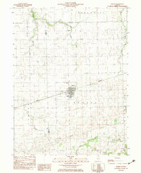 1982 Kansas1983 Print · USGSThe eastern Illinois prairie around Kansas is shown here in the early eighties, where the CONRAIL railroad still defined the town's orientation. Researchers can trace numerous family burial grounds and country landmarks like Shields Cem, Harmony Ch, and the North Fork Embarras River.
 - 1986 Map of Paris
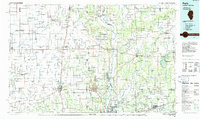 1986 Paris1986 Print · USGSThe Illinois-Indiana borderlands thrive in the mid-1980s as a hub of river-side industry and fertile farmland. Genealogists and historians can trace rail-centered settlements like Chrisman and Metcalf, or locate family sites at the Quaker Cem and Bethel Ch.2 unique versions available
 - 1998 Map of Kansas, 2002 Print
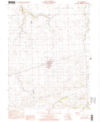 1998 Kansas2002 Print · USGSThe rural border of Edgar and Coles counties is captured here in the late 1990s, centered on the village of Kansas. Local historians can trace a significant density of rural burial sites and churches including Harmony Ch, Shields Cem, and Wilhoit Cem.
 - 2012 Map of Kansas, 2012 Print
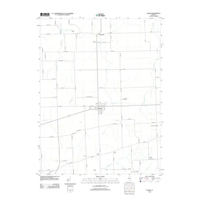 2012 Kansas2012 Print · USGSEdgar County farmland and the village of Kansas are documented here in the early twenty-first century. Genealogists and local historians can trace numerous family burial sites, including Poulter Cem, Harmony Cem, and Cornwell Cem, alongside the Gough Landing Strip.
 - 2015 Map of Kansas, 2015 Print
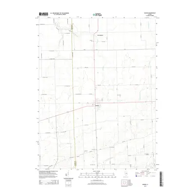 2015 Kansas2015 Print · USGSKansas and its neighboring farmsteads are documented here in the early twenty-first century, showing the enduring agricultural character of the Edgar and Coles county line. Researchers can pinpoint several historic burial sites, including Shields Cem, Poulter Cem, and Pleasant Hill Cem.
 - 2018 Map of Kansas, 2018 Print
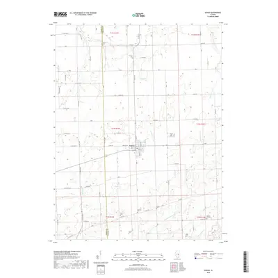 2018 Kansas2018 Print · USGSThe village of Kansas and the surrounding farmland along the Coles and Edgar county line are captured here in the late twenty-teens. Genealogists can locate numerous rural burial grounds, including Shields Cem, Harmony Cem, and Poulter Cem.
 - 2021 Map of Kansas, 2021 Print
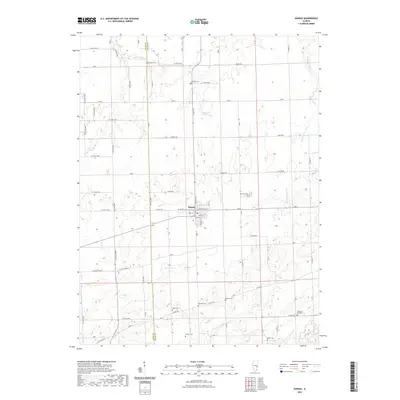 2021 Kansas2021 Print · USGSThe village of Kansas and its surrounding prairie townships are captured here at the start of the 2020s. Genealogists and local historians can trace numerous rural burial grounds including Shields Cem, Poulter Cem, and Pleasant Hill Cem along the Coles and Edgar county line.
 - 2024 Map of Kansas, 2024 Print
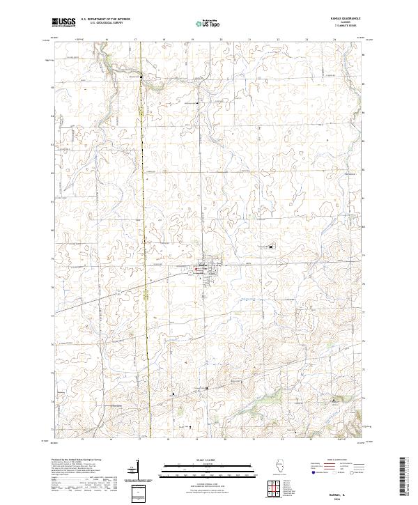 2024 Kansas2024 Print · USGSKansas and the surrounding prairie are captured here during a period of modern agricultural stability along the Edgar and Coles county line. Researchers can locate numerous family-named landmarks and burial grounds like Cornwell Cem, Poulter Cem, and the quiet hamlet of Elm Grove.
End of results
Showing maps 1-14 of 14
Top cities near Kansas
- Charleston historical maps
- Paris historical maps
- Marshall historical maps
- Martinsville historical maps
- Oakland historical maps
- Hutton historical maps
See more
Frequently asked questions
- What are the different types of historical maps available for Kansas?
- What is the oldest map of Kansas?
- Where can I purchase historical maps of Kansas for my home or office?
- Where can I download high-res historical maps of Kansas?
- Are there historical topographic maps available for Kansas?
- Is there historical aerial imagery available for Kansas?
- Where are historical maps of Kansas sourced from?