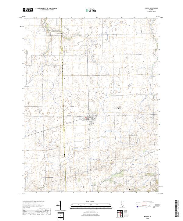
2024 Map of Kansas
USGS Topo · Published 2024About this map
Kansas serves as the central hub of this agricultural landscape along the Coles Co and Edgar Co line. The village is neatly gridded with streets like Jefferson St and Illinois St, hosting a Post Office that anchors the surrounding rural community. The terrain is defined by a dense network of waterways, including Donica Creek, Hickory Grove Creek, and Polecat Creek, which all contribute to the drainage of these fertile plains. To the south, the North Fork Embarras River winds through the bottomlands, accompanied by East Fork Creek. For genealogists and local historians, the map is particularly rich in cemetery locations, preserving the names of several early families and neighborhood focal points such as Shields Cem, Harmony Cem, and Wilhoit Cem. The tiny settlement of Elm Grove sits at a remote crossroads to the northeast, illustrating the enduring pattern of small Illinois prairie hamlets.
Find a feature on this map
59 named features on this map. Tap any name to fly to it.
Don’t see what you’re looking for? This feature index may not catch every label — zoom into the map to look around manually.
Map Details
Editions of this 2024 Kansas Map
This is the sole edition of this map. No revisions or reprints were ever made.
Other maps of this area

1933 · Toledo
USGS Topo · 1:62,500

1936 · Oakland
USGS Topo · 1:48,000

1936 · Casey
USGS Topo · 1:48,000

1938 · Toledo
USGS Topo · 1:62,500

1942 · Oakland
USGS Topo · 1:62,500

1942 · Casey
USGS Topo · 1:62,500

1943 · Casey
USGS Topo · 1:62,500

1946 · Kansas
USGS Topo · 1:62,500

1949 · Kansas
USGS Topo · 1:62,500

1953 · Indianapolis
USGS Topo · 1:250,000