Old Maps of Farmington, Illinois for Genealogy
Trace your family roots with 27 historic maps of Farmington. These high-res maps reveal old neighborhoods, homesites, landmarks, and streets — helping you uncover where your ancestors lived and how the area evolved over time.
- Explore historic neighborhoods: Identify where your relatives may have lived in the 1800s or 1900s.
- Compare maps over time: Trace the changes in streets, buildings, and landmarks for multi-generational research.
- Perfect for genealogy & ancestry research: Used by family historians and researchers to map out lineage and migration.
These maps are an incredible resource for exploring your personal connection to Farmington's past.
Farmington, IL maps
(27)- 1912 Map of Canton
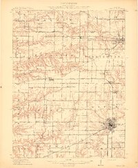 1912 Canton1912 Print · USGSFulton County's coal-and-rail corridor is in full operation at the beginning of the twentieth century, with Canton serving as the regional center. Genealogists and local historians can trace family roots through dozens of rural landmarks like Lone Elm School, the Seller Mine, and the County Farm.4 unique versions available
 - 1930 Map of Glasford
 1930 Glasford1930 Print · USGSCentral Illinois river towns and upland prairie farms thrive in the late twenties between the Illinois River and Hanna City. Researchers can trace old coal operations at Baxter Mine or locate family roots at Penn Ridge Ch and Union Cemetery.3 unique versions available
 - 1948 Map of Glasford, 1965 Print
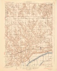
 1948 Glasford1965 Print · USGSThe Illinois River valley near Glasford is captured here during the post-war era, showing a landscape defined by river commerce and coal extraction. Genealogists can locate dozens of country schools and churches, such as Graham Chapel, Blue Sch, and the Lightbody Mine.
 - 1958 Map of Burlington, 1968 Print
 1958 Burlington1968 Print · USGSThe tri-state river country of Iowa, Illinois, and Missouri is captured here in the mid-fifties, dominated by the Mississippi River and major rail lines. Genealogists and historians can trace the development of river towns like Keokuk or locate the sprawling Iowa Army Ammunition Plant.4 unique versions available
 - 1958 Map of Peoria, 1969 Print
 1958 Peoria1969 Print · USGSCentral Illinois thrived as a hub of education and transport during the late sixties, as the new interstate system began to reshape the prairie. Genealogists and historians can trace local landmarks like Springdale Cem, Bradley University, and the sprawling grounds of Chanute AFB.4 unique versions available
 - 1961 Map of Burlington
 1961 Burlington1961 Print · USGSThe tri-state borderlands along the Mississippi River are captured here during the late fifties and early sixties, showing the vital river-and-rail economy of Iowa, Illinois, and Missouri. Genealogists and historians can trace the development of major hubs like Galesburg and Macomb alongside landmark sites such as the Iowa Ordnance Plant and the historic river town of Nauvoo.
 - 1961 Map of Peoria
 1961 Peoria1961 Print · USGSCentral Illinois thrived at the intersection of river trade and rail power during the late fifties. Genealogists and local historians can trace the rail networks of the Illinois Central and Wabash, alongside landmarks like Chanute AFB and Weldon Springs State Park.
 - 1963 Map of Burlington
 1963 Burlington1963 Print · USGSThe tri-state river country of the Mississippi and Illinois valleys comes alive in this mid-century survey. Genealogists and historians can trace the industrial and academic growth of the region, from the Iowa Ordnance Plant to campuses like Knox College and Western Illinois University.
 - 1963 Map of Peoria
 1963 Peoria1963 Print · USGSCentral Illinois thrived as a rail and highway crossroads during the early sixties, centered on the bustling Illinois River valley. Genealogists and historians can trace the mid-century layout of Peoria, locate the grounds of Chanute Air Force Base, and follow historic lines like the Toledo Peoria and Western Railway.
 - 1974 Map of Farmington West, 1978 Print
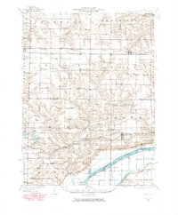
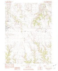
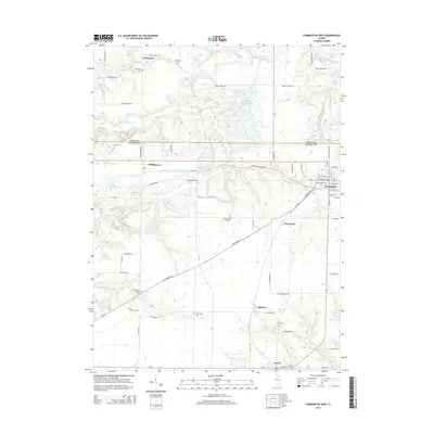
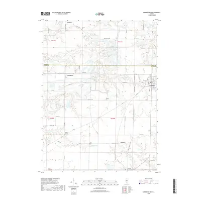
 1974 Farmington West1978 Print · USGSFulton County industrial and rural life are captured here in the mid-seventies, showing the expansion of heavy coal mining across the prairie. Researchers can trace family history through sites like Providence Chapel, Chapin Pleasant Hill Cem, and the village of Uniontown.
 - 1982 Map of Farmington East
 1982 Farmington East1982 Print · USGSThe intersection of Peoria and Fulton counties comes to life in this early 1980s survey of the Illinois prairie. Researchers can trace the industrial footprint of Mine Tailings near Farmington or locate rural homesteads and local Cem sites near Cramer.
 - 1985 Map of Peoria
 1985 Peoria1985 Print · USGSThe Illinois River valley and the Tri-County area are captured here in the mid-1980s as industry and infrastructure reshaped the heart of the state. Researchers can trace the grounds of Jubilee College, locate the Stark Mine near Elmwood, or follow the busy tracks of the Norfolk and Western Railroad.
 - 1985 Map of Galesburg, 1986 Print
 1985 Galesburg1986 Print · USGSWestern Illinois in the mid-eighties was a landscape of riverfront forests and industrial rail hubs. Genealogists and historians can trace the growth of Galesburg and Monmouth alongside rural landmarks like Stronghurst and the coal operations of the Strip Mine near Canton.2 unique versions available
 - 1989 Map of Galesburg
 1989 Galesburg1989 Print · USGSWestern Illinois in the late eighties reveals a landscape of industrial rail hubs and riverfront timberland. Genealogists and historians can trace the routes of the Atchison Topeka and Santa Fe RR through small towns like Stronghurst, London Mills, and Middle Grove (Middlepoint).
 - 1989 Map of Peoria
 1989 Peoria1989 Print · USGSThe Illinois River valley thrived as a regional center of industry, education, and transport during the late eighties. Researchers can trace the extensive rail networks of the Peoria and Pekin Union Railway or locate landmarks like Bradley University and the Peoria Air National Guard Base.
 - 1990 Map of Burlington
 1990 Burlington1990 Print · USGSThe tri-state confluence of Iowa, Illinois, and Missouri is mapped here at the end of the twentieth century. Genealogists and historians can trace the riverfront heritage of Burlington, Keokuk, and Fort Madison, or locate sites like the Battle of Athens State Historic Site.2 unique versions available
 - 1990 Map of Peoria
 1990 Peoria1990 Print · USGSCentral Illinois at the start of the nineties reveals a landscape of industrial river towns and sprawling university campuses. Researchers can trace the legacy of major institutions like Chanute Air Force Base and the University of Illinois alongside regional landmarks such as Sand Ridge State Forest.
 - 2012 Map of Farmington West, 2012 Print
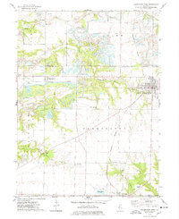
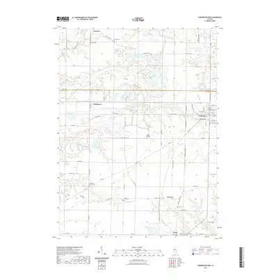
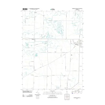 2012 Farmington West2012 Print · USGSCovers Farmington, including Norris, Uniontown, and other nearby areas
 - 2012 Map of Farmington East, 2012 Print
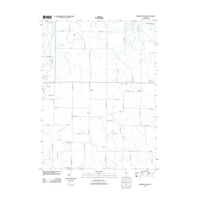 2012 Farmington East2012 Print · USGSCovers Farmington, including Trivoli, Cramer, and other nearby areas
 - 2015 Map of Farmington East, 2015 Print
 2015 Farmington East2015 Print · USGSCovers Farmington, including Trivoli, Cramer, and other nearby areas
 - 2015 Map of Farmington West, 2015 Print
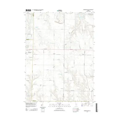
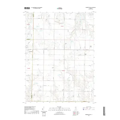
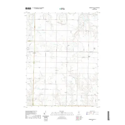
 2015 Farmington West2015 Print · USGSCovers Farmington, including Norris, Uniontown, and other nearby areas
 - 2018 Map of Farmington East, 2018 Print
 2018 Farmington East2018 Print · USGSCovers Farmington, including Trivoli, Cramer, and other nearby areas
 - 2018 Map of Farmington West, 2018 Print
 2018 Farmington West2018 Print · USGSCovers Farmington, including Norris, Uniontown, and other nearby areas
 - 2021 Map of Farmington East, 2021 Print
 2021 Farmington East2021 Print · USGSCovers Farmington, including Trivoli, Cramer, and other nearby areas
 - 2021 Map of Farmington West, 2021 Print
 2021 Farmington West2021 Print · USGSCovers Farmington, including Norris, Uniontown, and other nearby areas
Showing maps 1-25 of 27
Top cities near Farmington
- Canton historical maps
- Elmwood historical maps
- Cuba historical maps
- Trivoli historical maps
- Glasford historical maps
- Hanna City historical maps
See more
Frequently asked questions
- What are the different types of historical maps available for Farmington?
- What is the oldest map of Farmington?
- Where can I purchase historical maps of Farmington for my home or office?
- Where can I download high-res historical maps of Farmington?
- Are there historical topographic maps available for Farmington?
- Is there historical aerial imagery available for Farmington?
- Where are historical maps of Farmington sourced from?