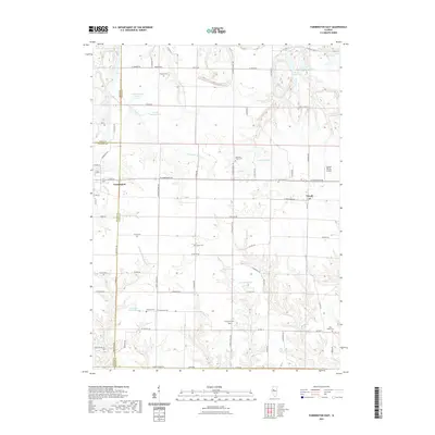
2021 Map of Farmington East
USGS Topo · Published 2021About this map
Farmington and Trivoli anchor this survey of the Illinois prairie, where the landscape is marked by numerous family and community burial grounds. Genealogists can trace local heritage through the locations of Watkins Cem, Harkness Grove Cem, and Brunswick Cem. The area’s hydrological pattern is defined by the W Fork Kickapoo Cr and the Middle Br Copperas Cr, which wind through a network of rural roads such as W Farmington Rd and Taggart Rd.
Find a feature on this map
83 named features on this map. Tap any name to fly to it.
Don’t see what you’re looking for? This feature index may not catch every label — zoom into the map to look around manually.
Map Details
Editions of this 2021 Farmington East Map
This is the sole edition of this map. No revisions or reprints were ever made.
Other maps of this area

1912 · Canton
USGS Topo · 1:62,500

1930 · Glasford
USGS Topo · 1:62,500

1941 · Maquon
USGS Topo · 1:62,500

1943 · Maquon
USGS Topo · 1:62,500

1944 · Elmwood
USGS Topo · 1:62,500

1948 · Elmwood
USGS Topo · 1:62,500

1948 · Glasford
USGS Topo · 1:62,500

1958 · Burlington
USGS Topo · 1:250,000

1958 · Peoria
USGS Topo · 1:250,000

1961 · Burlington
USGS Topo · 1:250,000