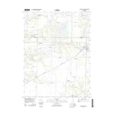
2015 Map of Farmington West
USGS Topo · Published 2015About this map
The boundary between Knox and Fulton counties bisects this Central Illinois landscape, where the street grid of Farmington meets an expanse of agricultural land and coal-influenced hydrology. Genealogy researchers will find numerous small burial grounds marking the history of local families and congregations, including Oak Ridge Cem, Pleasant Hill Cem, and the Providence Chapel Cem south of Middlegrove.
Find a feature on this map
72 named features on this map. Tap any name to fly to it.
Don’t see what you’re looking for? This feature index may not catch every label — zoom into the map to look around manually.
Map Details
Editions of this 2015 Farmington West Map
This is the sole edition of this map. No revisions or reprints were ever made.
Other maps of this area

1912 · Canton
USGS Topo · 1:62,500

1930 · Glasford
USGS Topo · 1:62,500

1941 · Maquon
USGS Topo · 1:62,500

1943 · Maquon
USGS Topo · 1:62,500

1944 · Elmwood
USGS Topo · 1:62,500

1948 · Elmwood
USGS Topo · 1:62,500

1948 · Glasford
USGS Topo · 1:62,500

1958 · Burlington
USGS Topo · 1:250,000

1958 · Peoria
USGS Topo · 1:250,000

1961 · Burlington
USGS Topo · 1:250,000