2020s Maps of Greene County, Illinois
Explore 34 historic maps of Greene County from the 2020s. These maps offer a rare glimpse into what life looked like during the 2020s — showing old roads, neighborhoods, homes, and landmarks that have changed or disappeared over time.
Whether you're researching your family's past, planning a metal detecting trip, or studying how Greene County's landscape evolved across the 2020s, these high-resolution maps are a powerful tool for exploring the history of this region.
- Focus on a specific era: All maps on this page are from the 2020s, giving you a focused view of this time period.
- See what’s changed: Compare century-old streets, trails, and buildings to today's modern landscape using overlays and satellite layers.
- Research with precision: Use these maps for genealogy, historical research, land use analysis, or educational projects.
- View, download, or print: Maps are fully viewable online in high resolution, and can be downloaded or printed for your own records.
Start exploring Greene County's history through authentic maps from the 2020s. This is your window into the past.
Greene County, IL maps
(34)- 2021 Map of Boyer Creek, 2021 Print
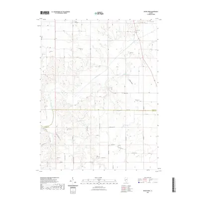 2021 Boyer Creek2021 Print · USGSThe rural borders of Greene and Jersey counties are mapped here in the early twenty-first century, showing a landscape defined by deep hollows and prairie ridges. Genealogists can trace numerous family burial sites including Thompson Cem, Lax Cem, and Cannedy Cem.
 - 2021 Map of Daum, 2021 Print
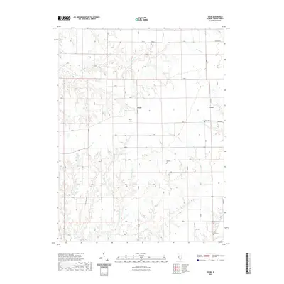 2021 Daum2021 Print · USGSGreene County agriculture and rural life are preserved here in the early twenty-first century. Genealogists can locate several family and community burial sites, including Hardcastle Cem, Freer Cem, and the quiet settlement of String Prairie.
 - 2021 Map of Bedford, 2021 Print
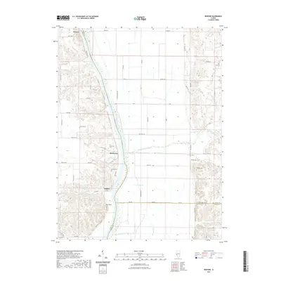 2021 Bedford2021 Print · USGSThe Illinois River valley in the early twenty-first century remains defined by its waterfront hamlets and bluff-side terrain. Genealogists can trace family heritage at Adams Family Cem or Bedford Cem, while exploring landmarks like Pilot Knob and Morgan Slough.
 - 2021 Map of Roodhouse East, 2021 Print
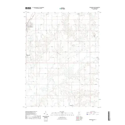 2021 Roodhouse East2021 Print · USGSGreene County agriculture and rural life are detailed here in the early twenty-first century. Genealogists can trace family heritage across seven historic cemeteries, including Tunnison Cem and Union Prather Cem, while following the waters of Apple Cr and Wolf Run.
 - 2021 Map of Kampsville, 2021 Print
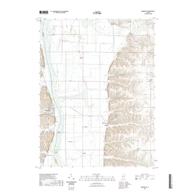 2021 Kampsville2021 Print · USGSThe Illinois River valley comes into sharp focus here during the early twenty-first century, showing the distinct border between Greene and Calhoun counties. Researchers can trace family history through numerous local sites including Saint Anselm Cem, Schumann Cem, and the historic Kampsville PO.
 - 2021 Map of Alsey, 2021 Print
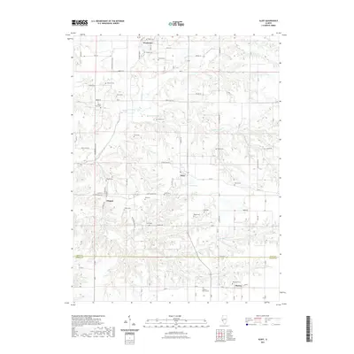 2021 Alsey2021 Print · USGSThe rural landscapes of southern Scott County are documented here in the early twenty-first century. Researchers can trace dozens of family burial sites like Glasgow Cem and Thompson Cem near the settlements of Alsey and Barrow.
 - 2021 Map of Athensville, 2021 Print
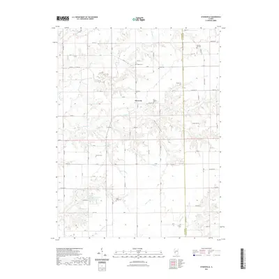 2021 Athensville2021 Print · USGSAthensville and the surrounding Illinois countryside are captured here in the early 2020s, showing a landscape defined by creek valleys and section roads. Genealogists can trace numerous family burial sites such as Jackson Cem, Rhodes Cem, and Scottville West Cem.
 - 2021 Map of Nutwood, 2021 Print
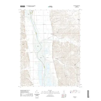 2021 Nutwood2021 Print · USGSThe Illinois River valley in the early 2020s remains a landscape of intricate wetlands and ridge-top settlements. Genealogists and historians can trace family locations near Rosedale Cemetery or explore the river geography around Mortland Island and The Glades.
 - 2021 Map of Greenfield, 2021 Print
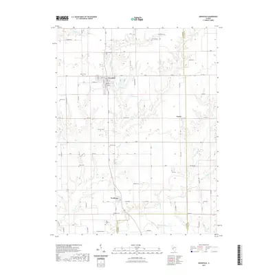 2021 Greenfield2021 Print · USGSGreene County farmland and the settlement of Greenfield define this landscape near the Macoupin County line. Researchers can trace dozens of local burial sites like Oakwood Cem and Hermitage Cem or follow the winding path of Macoupin Creek.
 - 2021 Map of Carrollton, 2021 Print
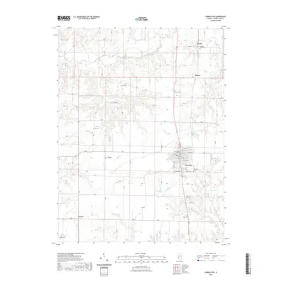 2021 Carrollton2021 Print · USGSGreene County is centered on the historic seat of Carrollton during the early twenty-first century. Researchers can trace rural lineages through numerous family burial grounds like Stith Cemetery and Carter Cemetery, or explore the hamlets of Berdan and Pegram.
 - 2021 Map of Pearl East, 2021 Print
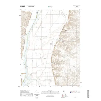 2021 Pearl East2021 Print · USGSThe Illinois River valley comes alive in this contemporary survey of the Pike and Greene County borderlands. Genealogists can locate family sites at Shelton Cem and Kinser Cem or trace old river landmarks like Bridge Island.
 - 2021 Map of Jerseyville North, 2021 Print
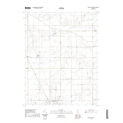 2021 Jerseyville North2021 Print · USGSJersey and Greene counties are captured here in the early twenty-first century, showing the rural landscapes north of the county seat. Researchers can locate numerous family burial grounds and small settlements, including Old Kane, Jalapa, and the Luckey - Weber Cem.
 - 2021 Map of Nortonville, 2021 Print
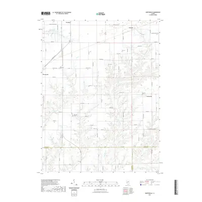 2021 Nortonville2021 Print · USGSThe rural borderlands where Morgan, Greene, and Macoupin Counties meet are captured here in the early twenty-first century. Genealogists can trace family heritage through numerous burial sites like Zion Number One Cemetery and Sooy Cemetery.
 - 2021 Map of Medora, 2021 Print
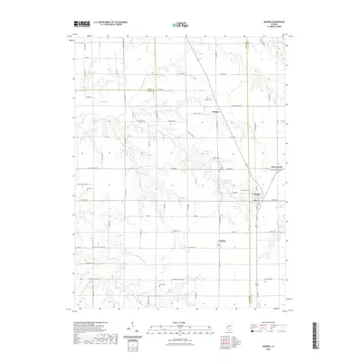 2021 Medora2021 Print · USGSCentral Illinois prairie life and legacy are preserved in this 2021 study of the Jersey, Greene, and Macoupin county borders. Genealogists can trace family roots through numerous burial sites like Pruitt Cem, Rhoads Cem, and Longwill Cem.
 - 2021 Map of Hardin, 2021 Print
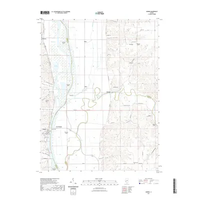 2021 Hardin2021 Print · USGSThe Illinois River corridor at Hardin is defined by its strategic bridges and flood-prone bottomlands in the early twenty-first century. Genealogists and historians can trace the development of the county seat around the Calhoun County Courthouse and locate rural landmarks like Saint Norberts Cem and Witachek Mound.
 - 2021 Map of Manchester, 2021 Print
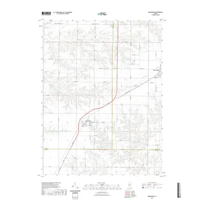 2021 Manchester2021 Print · USGSThe agricultural borderlands of Scott, Morgan, and Greene counties are documented here in recent decades. Researchers can trace family history at sites like Old Manchester Cem and Bethel Cem or follow the paths of Little Sandy Cr.
 - 2021 Map of Roodhouse West, 2021 Print
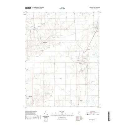 2021 Roodhouse West2021 Print · USGSGreene County is shown here in the modern era, centered on the historic corridor between White Hall and Roodhouse. Local historians can trace numerous family and community burial sites, from Hanks Cem and Hicks Cem to the Walkerville Cem.
 - 2024 Map of Daum, 2024 Print
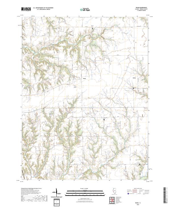 2024 Daum2024 Print · USGSGreene County, Illinois, remains a landscape of quiet prairie settlements and family lineages as seen in this recent survey. Researchers can trace rural history through several burial grounds, including Hardin Cem, Hardcastle Cem, and the cluster at Daum.
 - 2024 Map of Nortonville, 2024 Print
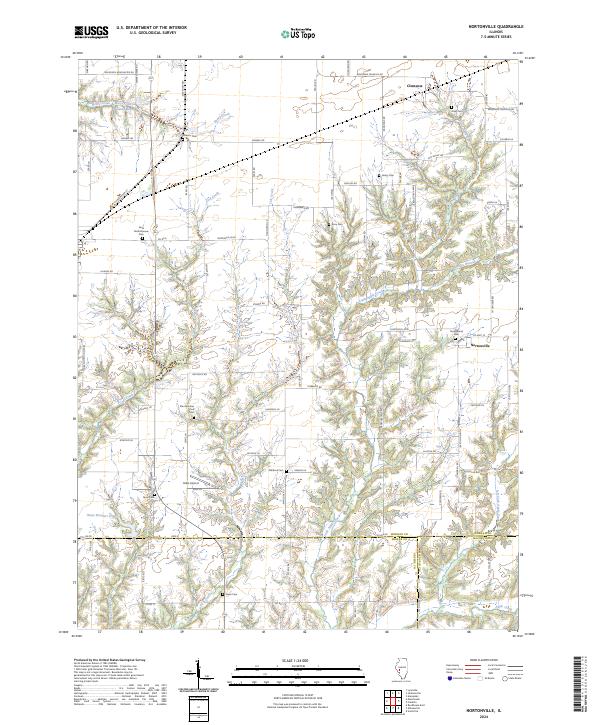 2024 Nortonville2024 Print · USGSThis modern record of central Illinois captures the rural character and family history of Morgan and Macoupin counties. Genealogists can trace numerous local landmarks including Youngblood Cem, Saint Bartholomew Cem, and the quiet crossroads of Nortonville.
 - 2024 Map of Alsey, 2024 Print
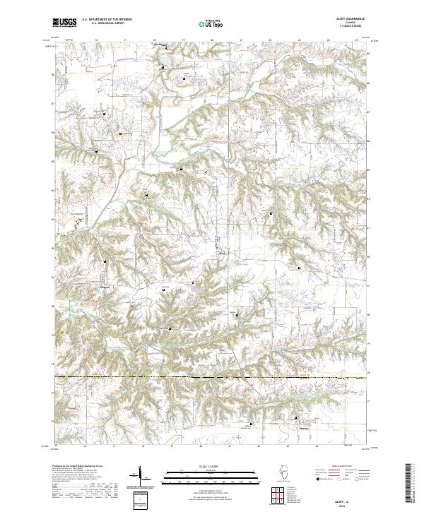 2024 Alsey2024 Print · USGSThe rural Scott County landscape near the Greene County line is captured here in a moment of agricultural continuity. Researchers can locate numerous family burial grounds including Carlton Cem, Wishon Cem, and Peak Cem near the village of Alsey.
 - 2024 Map of Jerseyville North, 2024 Print
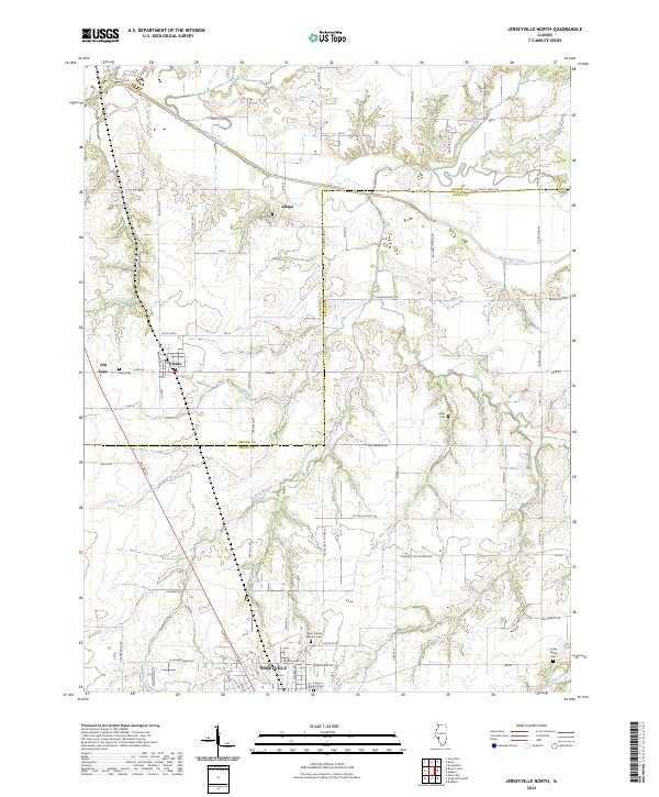 2024 Jerseyville North2024 Print · USGSThe rural border of Jersey and Greene Counties comes into focus in this contemporary survey of the Illinois prairie. Genealogists can trace family heritage at Saint Francis Xaviers Cemetery or locate the distinct footprints of Old Kane and Jalapa.
 - 2024 Map of Greenfield, 2024 Print
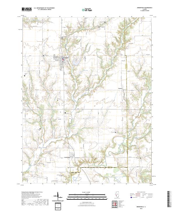 2024 Greenfield2024 Print · USGSThis part of Greene and Macoupin counties remains a landscape of quiet agricultural tradition and well-preserved family history. Genealogists can trace local lineages through numerous burial sites like Oakwood Cem, Weisner Cem, and Mitchell Cem while exploring the settlements of Greenfield and Rockbridge.
 - 2024 Map of Bedford, 2024 Print
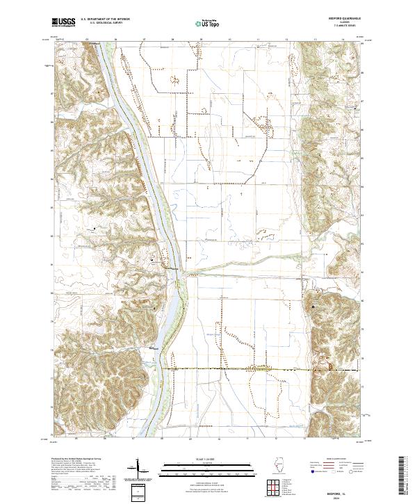 2024 Bedford2024 Print · USGSThe riverfront communities of Pike and Scott County are captured here in the early twenty-first century. Genealogists can locate several small burial grounds such as Adams Family Cem and Montezuma Cem near the banks of the Illinois River.
 - 2024 Map of Carrollton, 2024 Print
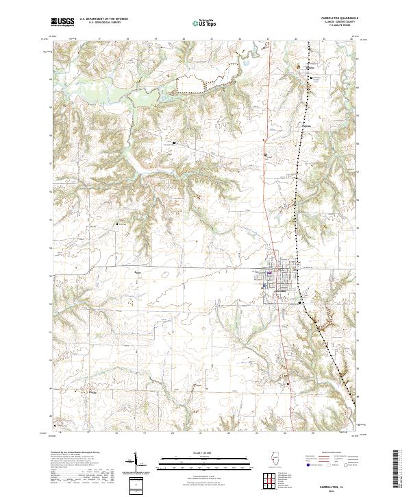 2024 Carrollton2024 Print · USGSGreene County’s agricultural landscape is documented here in the contemporary era, centered on the historic seat of Carrollton. Genealogists can locate several local burial grounds including Saint Johns Catholic Cem and Pinkerton Number 1 Cem.
 - 2024 Map of Boyer Creek, 2024 Print
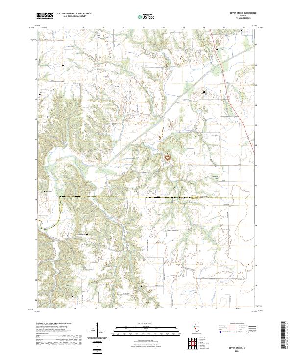 2024 Boyer Creek2024 Print · USGSThe rural border of Greene and Jersey Counties is captured here in the 2020s, showing a landscape defined by family history and the winding Macoupin Creek. Genealogists can trace numerous local sites like Mount Gilead Cem, Houseman Cem, and Rusk Cem.
Showing maps 1-25 of 34
Top cities of Greene County
- Carrollton historical maps
- White Hall historical maps
- Roodhouse historical maps
- Greenfield historical maps
- Kane historical maps
- Athensville historical maps
See more
Frequently asked questions
- What are the different types of historical maps available for Greene County?
- What is the oldest map of Greene County?
- Where can I purchase historical maps of Greene County for my home or office?
- Where can I download high-res historical maps of Greene County?
- Are there historical topographic maps available for Greene County?
- Is there historical aerial imagery available for Greene County?
- Where are historical maps of Greene County sourced from?