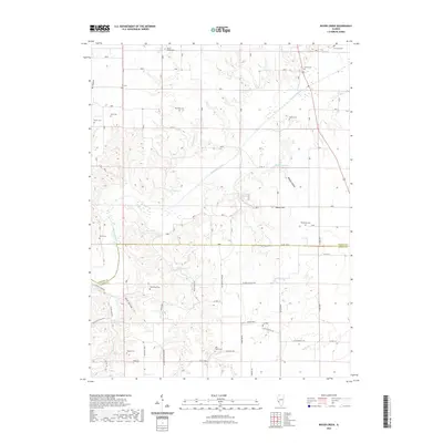
2021 Map of Boyer Creek
USGS Topo · Published 2021About this map
Macoupin Creek meanders across this rural landscape along the boundary of Greene Co and Jersey Co, defining a terrain of carved valleys and ridge-top cemeteries. The map reveals a dense distribution of family and community burial grounds, such as Houseman Cem, Reynolds Cem, and Belt Salem Cem, which speak to the deep-rooted genealogical history of these Illinois townships. Transportation is marked by a network of county roads including Bethany Church Rd and Washington School Rd, names that hint at former local landmarks now vanished or transitioned. Hydrological features like John Dunham Spring and Dobson Spring emerge from the hollows, while the deeply incised paths of Dark Hollow and Tar Hollow break the upland agricultural plains.
Find a feature on this map
48 named features on this map. Tap any name to fly to it.
Don’t see what you’re looking for? This feature index may not catch every label — zoom into the map to look around manually.
Map Details
Editions of this 2021 Boyer Creek Map
This is the sole edition of this map. No revisions or reprints were ever made.
Other maps of this area

1924 · Roodhouse
USGS Topo · 1:62,500

1926 · Roodhouse
USGS Topo · 1:62,500

1930 · Pearl
USGS Topo · 1:62,500

1930 · Hardin
USGS Topo · 1:62,500

1930 · Jerseyville
USGS Topo · 1:62,500

1933 · Jerseyville
USGS Topo · 1:62,500

1934 · Hardin
USGS Topo · 1:62,500

1938 · Hardin
USGS Topo · 1:62,500

1948 · Quincy
USGS Topo · 1:250,000

1950 · Pearl
USGS Topo · 1:62,500