Old Maps of Greenfield, Illinois for Genealogy
Trace your family roots with 10 historic maps of Greenfield. These high-res maps reveal old neighborhoods, homesites, landmarks, and streets — helping you uncover where your ancestors lived and how the area evolved over time.
- Explore historic neighborhoods: Identify where your relatives may have lived in the 1800s or 1900s.
- Compare maps over time: Trace the changes in streets, buildings, and landmarks for multi-generational research.
- Perfect for genealogy & ancestry research: Used by family historians and researchers to map out lineage and migration.
These maps are an incredible resource for exploring your personal connection to Greenfield's past.
Greenfield, IL maps
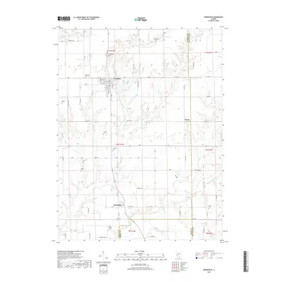
(10)- 1932 Map of Greenfield
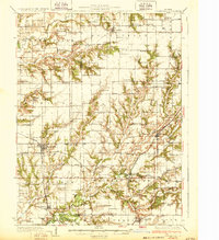 1932 Greenfield1932 Print · USGSGreene and Macoupin counties thrive as a rail-centered agricultural heartland during the early thirties. Genealogists can trace family homesteads near numerous rural schools like Oak Hill Sch and Landreth Sch, or churches such as Mt Moriah Ch.3 unique versions available
 - 1948 Map of Quincy
 1948 Quincy1948 Print · USGSThe Mississippi and Illinois River valleys are captured at a post-war crossroads as rail and river travel met the expanding highway system. Genealogists can trace family settlements from Quincy to Hannibal and smaller towns like Vandalia and Jerseyville.2 unique versions available
 - 1956 Map of Quincy, 1967 Print
 1956 Quincy1967 Print · USGSThe river and rail corridors of the Illinois-Missouri border are documented here during the mid-1950s. Researchers can trace historic river landings and regional transit hubs from Quincy and Hannibal to smaller settlements like Meredosia and Roodhouse.3 unique versions available
 - 1983 Map of Greenfield, 1984 Print
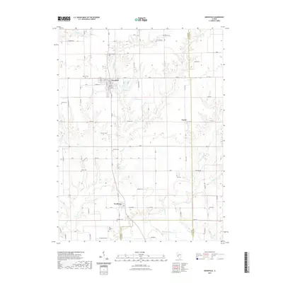
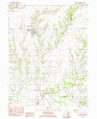 1983 Greenfield1984 Print · USGSGreene and Macoupin Counties are captured here in the early eighties, centered on the historic street grid of Greenfield and the surrounding farmland. Researchers can trace family history through numerous rural sites like Rose Hill Cem, Chism Cem, and St Michaels Ch.
 - 1985 Map of Jerseyville
 1985 Jerseyville1985 Print · USGSThe confluence of the Illinois and Mississippi rivers defines this 1980s landscape of fertile bottomlands and rail-hub towns. Genealogists and historians can trace the foundations of communities like Jerseyville and White Hall alongside the Oak Grove Cem and St Mary Church.2 unique versions available
 - 2012 Map of Greenfield, 2012 Print
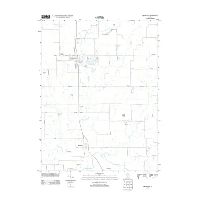 2012 Greenfield2012 Print · USGSCovers Greenfield, including Rockbridge, Fayette, and other nearby areas
 - 2015 Map of Greenfield, 2015 Print
 2015 Greenfield2015 Print · USGSCovers Greenfield, including Rockbridge, Fayette, and other nearby areas
 - 2018 Map of Greenfield, 2018 Print
 2018 Greenfield2018 Print · USGSCovers Greenfield, including Rockbridge, Fayette, and other nearby areas
 - 2021 Map of Greenfield, 2021 Print
 2021 Greenfield2021 Print · USGSCovers Greenfield, including Rockbridge, Fayette, and other nearby areas
 - 2024 Map of Greenfield, 2024 Print
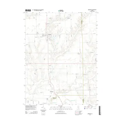
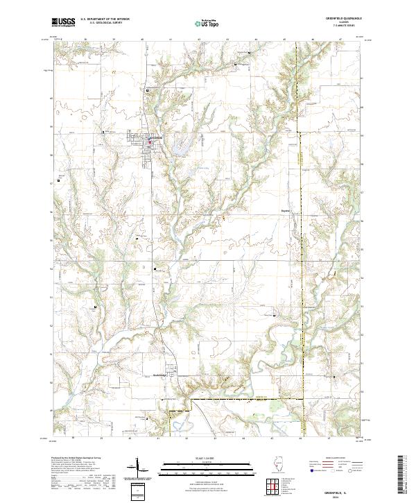 2024 Greenfield2024 Print · USGSThis part of Greene and Macoupin counties remains a landscape of quiet agricultural tradition and well-preserved family history. Genealogists can trace local lineages through numerous burial sites like Oakwood Cem, Weisner Cem, and Mitchell Cem while exploring the settlements of Greenfield and Rockbridge.
End of results
Showing maps 1-10 of 10
Top cities near Greenfield
- Jerseyville historical maps
- Carrollton historical maps
- White Hall historical maps
- Roodhouse historical maps
- Palmyra historical maps
- Shipman historical maps
See more
Frequently asked questions
- What are the different types of historical maps available for Greenfield?
- What is the oldest map of Greenfield?
- Where can I purchase historical maps of Greenfield for my home or office?
- Where can I download high-res historical maps of Greenfield?
- Are there historical topographic maps available for Greenfield?
- Is there historical aerial imagery available for Greenfield?
- Where are historical maps of Greenfield sourced from?