Old Maps of Annawan, Illinois for Hiking & Exploration
Hike through history with 17 historic maps of Annawan. Explore old trails, ghost towns, and forgotten backroads — perfect for outdoor adventurers and local explorers.
- Rediscover forgotten places: Map out old mining camps, roads, and footpaths that no longer exist on modern maps.
- Layer with modern tools: Combine with LiDAR or satellite views to plan hikes through historical terrain.
- Made for exploration: Popular among hikers, overlanders, and local history lovers.
Use these maps to find adventure and explore the hidden past of Annawan.
Annawan, IL maps
(17)- 1929 Map of Annawan, 1966 Print
 1929 Annawan1966 Print · USGSHenry and Bureau County life in the late 1920s was shaped by the engineering of the Illinois and Mississippi Canal and busy rail corridors. Researchers can trace dozens of rural schoolhouses and family sites like Brandenburg Corners, Kedron, and Francis Park.2 unique versions available
 - 1932 Map of Annawan
 1932 Annawan1932 Print · USGSHenry and Bureau counties are captured here in the early thirties, showing a landscape shaped by the Illinois and Mississippi Canal. Genealogists can locate dozens of rural landmarks, from Brandenburg Corners to schools like Kuster Sch and Fairview Ch.
 - 1958 Map of Aurora, 1969 Print
 1958 Aurora1969 Print · USGSNorthern Illinois in the late fifties shows a landscape of powerful river industry and expanding transport corridors. Genealogists and historians can trace the development of Aurora and Joliet or locate sites like the Elwood Ordnance Plant and Starved Rock.3 unique versions available
 - 1961 Map of Aurora
 1961 Aurora1961 Print · USGSNorthern Illinois at the height of the post-war era reveals a landscape of massive industrial works and thriving river towns. Genealogists and historians can trace the paths of the Lincoln Highway or locate long-standing landmarks like the Green River Ordnance Plant and Starved Rock State Park.
 - 1983 Map of Annawan, 1984 Print
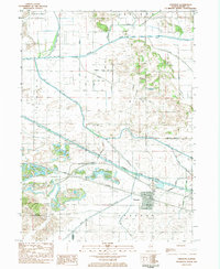 1983 Annawan1984 Print · USGSThe village of Annawan and the surrounding Henry County farmlands are shown in the early 1980s as the railroad and canal corridor still dominated the landscape. Genealogists and historians can trace family burial sites at Sacred Heart Cem or locate the historic Lock No 23 along the Hennepin Canal State Parkway.
 - 1983 Map of Mineral, 1984 Print
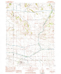 1983 Mineral1984 Print · USGSIn the early 1980s, the Illinois prairie around the Bureau and Henry county line was a landscape of rail-and-water commerce. Trace the path of the Iowa Railroad through Mineral or explore the historic infrastructure of Lock No 22 along the Hennepin Canal.
 - 1985 Map of Kewanee
 1985 Kewanee1985 Print · USGSNorth-central Illinois in the mid-eighties shows a landscape of river-valley industry and prairie transit. Researchers can trace family roots through Evergreen Memory Garden or follow the historic Hennepin Canal past Tiskilwa and Wyanet.2 unique versions available
 - 2012 Map of Mineral, 2012 Print
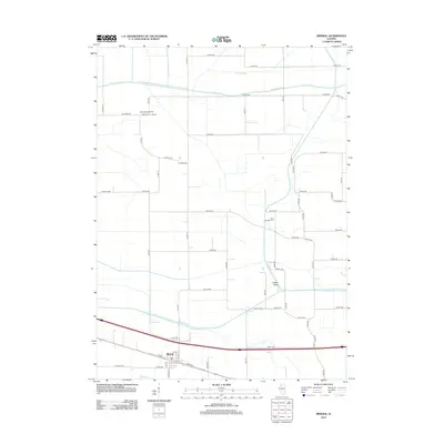 2012 Mineral2012 Print · USGSNear the village of Mineral in the early 2010s, this survey documents the rural character and essential waterworks of Henry County. Genealogists and local historians can locate Gold Township Cem or trace the paths of Green River and Coal Cr.
 - 2012 Map of Annawan, 2012 Print
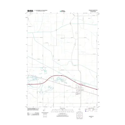 2012 Annawan2012 Print · USGSHenry County agricultural lands and the village of Annawan are shown in detail during the early twenty-first century. Researchers can trace local lineage at Goble Cem, locate the village PO, and explore rural landmarks like Thompson Airport.
 - 2015 Map of Mineral, 2015 Print
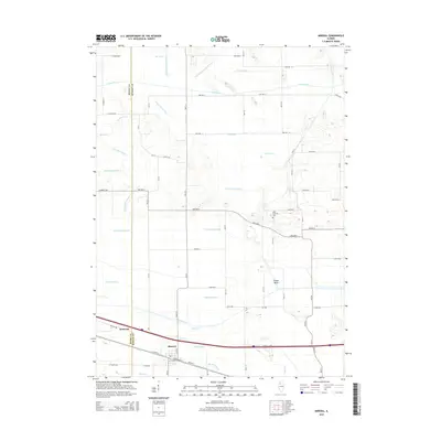 2015 Mineral2015 Print · USGSThe Illinois prairie along the Henry and Bureau County border is captured here in the mid-2010s. Genealogists and local historians can locate the Gold Township Cem and trace the extensive drainage network including Goose Pond Ditch and the Green River.
 - 2015 Map of Annawan, 2015 Print
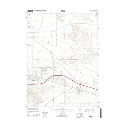 2015 Annawan2015 Print · USGSHenry County prairie life and the engineering of the Illinois landscape are captured here in the mid-2010s. Trace the intricate network of drainage canals and local landmarks like Maple Grove Cemetery and the Shabbona Special Ditch between Atkinson and Annawan.
 - 2018 Map of Annawan, 2018 Print
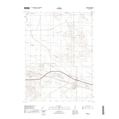 2018 Annawan2018 Print · USGSHenry County in the late twenty-teens is characterized by its dual identity as a high-yield farming region and a corridor for central Illinois transit. Genealogists and local historians can trace family ties at Sacred Heart Cem or examine the reclamation of the prairie through the Shabbona Special Ditch and Green River.
 - 2018 Map of Mineral, 2018 Print
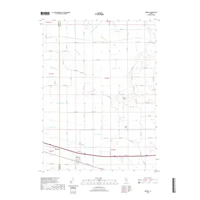 2018 Mineral2018 Print · USGSThe borderlands of Henry and Bureau counties are shown here in the late twenty-tens, dominated by a massive network of prairie drainage canals. Researchers can trace the engineered landscape of Mineral and Annawan, locating landmarks like Gold Township Cem and the Feeder Basin.
 - 2021 Map of Annawan, 2021 Print
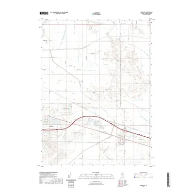 2021 Annawan2021 Print · USGSHenry County’s agricultural heartland is documented here in the early twenty-first century, showing the intricate relationship between prairie farming and water management. Researchers can trace family history through Goble Cem and Maple Grove Cem or follow the paths of Mud Creek and the Shabbona Special Ditch.
 - 2021 Map of Mineral, 2021 Print
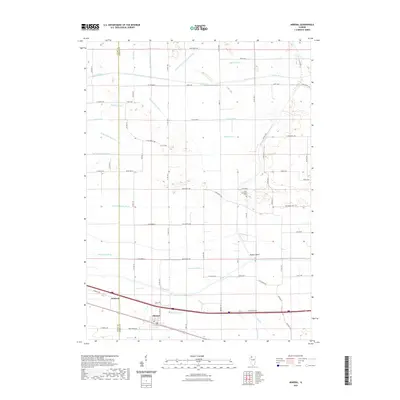 2021 Mineral2021 Print · USGSThe border of Henry and Bureau counties comes into focus in this recent survey of the Illinois prairie. Researchers can trace the sophisticated drainage networks of the Green River basin, including Goose Pond Ditch and the historic Gold Township Cem.
 - 2024 Map of Annawan, 2024 Print
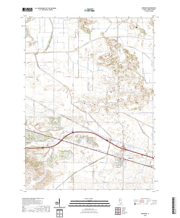 2024 Annawan2024 Print · USGSThe towns of Atkinson and Annawan are shown in the early twenty-first century amidst a complex network of agricultural drainage. Researchers can trace the paths of the Green River, find historic burials at Maple Grove Cem, or locate the Spath Spur.
 - 2024 Map of Mineral, 2024 Print
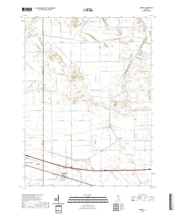 2024 Mineral2024 Print · USGSThe Henry and Bureau county borderlands come into focus in this contemporary survey of Illinois prairie and farmland. Genealogists and local researchers can locate Gold Township Cemetery and trace the complex waterway systems of Mineral Marsh Ditch and the Green River.
End of results
Showing maps 1-17 of 17
Top cities near Annawan
- Kewanee historical maps
- Galva historical maps
- Osceola historical maps
- Atkinson historical maps
- Sheffield historical maps
- Bradford historical maps
See more
Frequently asked questions
- What are the different types of historical maps available for Annawan?
- What is the oldest map of Annawan?
- Where can I purchase historical maps of Annawan for my home or office?
- Where can I download high-res historical maps of Annawan?
- Are there historical topographic maps available for Annawan?
- Is there historical aerial imagery available for Annawan?
- Where are historical maps of Annawan sourced from?