1980s Maps of Iroquois County, Illinois
Explore 24 historic maps of Iroquois County from the 1980s. These maps offer a rare glimpse into what life looked like during the 1980s — showing old roads, neighborhoods, homes, and landmarks that have changed or disappeared over time.
Whether you're researching your family's past, planning a metal detecting trip, or studying how Iroquois County's landscape evolved across the 1980s, these high-resolution maps are a powerful tool for exploring the history of this region.
- Focus on a specific era: All maps on this page are from the 1980s, giving you a focused view of this time period.
- See what’s changed: Compare century-old streets, trails, and buildings to today's modern landscape using overlays and satellite layers.
- Research with precision: Use these maps for genealogy, historical research, land use analysis, or educational projects.
- View, download, or print: Maps are fully viewable online in high resolution, and can be downloaded or printed for your own records.
Start exploring Iroquois County's history through authentic maps from the 1980s. This is your window into the past.
Iroquois County, IL maps
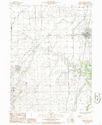
(24)- 1982 Map of East Lynn, 1983 Print
 1982 East Lynn1983 Print · USGSThe rural landscape of Vermilion County is captured here in the early eighties as a busy crossroads for the Norfolk and Western and Missouri Pacific railroads. Researchers can trace family roots at East Lynn Cem or locate the site of the Prairie Chapel and the settlement at Reilly.
 - 1984 Map of Paxton, 1985 Print
 1984 Paxton1985 Print · USGSIn the mid-1980s, the Illinois prairie around Paxton remained a critical rail junction and agricultural center. Family historians can locate several rural burial grounds including Trickle Grove Cem and Webber Cem, or trace the course of the Middle Fork Vermilion River.
 - 1984 Map of Danville, 1985 Print
 1984 Danville1985 Print · USGSEastern Illinois and western Indiana meet here in the mid-1980s, centered on the river forks and rail lines surrounding the industrial hub of Danville. Researchers can trace old transport routes and rural landmarks like Rossville Junction, Hope Ch, and the Univ of Ill Radio Telescope.
 - 1984 Map of Kankakee, 1985 Print
 1984 Kankakee1985 Print · USGSThe Illinois-Indiana borderlands appear here in the early eighties as a landscape of river-centered towns and vast managed wetlands. Genealogists and local historians can trace the grounds of the Kankakee State Hospital, the campus of Olivet Nazarene College, and the sprawling Beaver Lake Wildlife Refuge.
 - 1984 Map of Rankin, 1985 Print
 1984 Rankin1985 Print · USGSRankin and its surrounding prairie townships are captured here in the mid-1980s. Local historians can trace the rail corridor through Clarence and locate rural landmarks such as Pleasant Grove Ch, Pellville Cem, and the Middle Fork Vermilion River.
 - 1984 Map of Watseka, 1985 Print
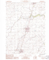
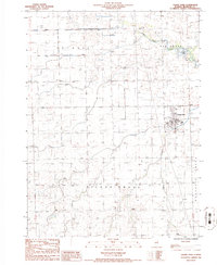
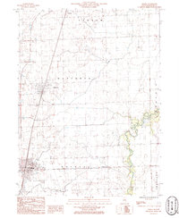
 1984 Watseka1985 Print · USGSThe Illinois-Indiana borderlands thrived on a dense rail and river network during the mid-eighties. Genealogists and local historians can trace the foundations of rural life through landmarks like St Josephs College, the Iroquois Hospital, and towns like Milford and Beaverville.
 - 1985 Map of Ottawa
 1985 Ottawa1985 Print · USGSThe Illinois River valley in the mid-1980s shows a landscape balancing river commerce with sprawling energy and mining operations. Researchers can trace the layout of mining towns like Coal City or find family landmarks such as Oakwood Memorial Cem and Smiths Mound.
 - 1985 Map of Fairbury
 1985 Fairbury1985 Print · USGSCentral Illinois in the mid-1980s reveals a landscape shaped by the Illinois Central Gulf rail network and the Vermilion River basin. Trace the roots of local communities from Fairbury to Pontiac, and locate landmarks like the State Correctional Center and High Chapel.2 unique versions available
 - 1985 Map of Champaign, 1986 Print
 1985 Champaign1986 Print · USGSThe Illinois prairie comes alive in this mid-eighties survey of the vital rail corridor between Bloomington and Champaign. Genealogists and historians can trace the development of township hubs like Saybrook and Bellflower or locate Chanute Air Force Base and the Sangamon River.2 unique versions available
 - 1986 Map of Woodworth
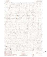
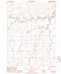
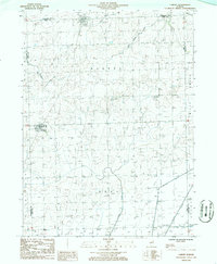
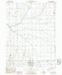
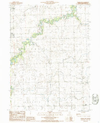
 1986 Woodworth1986 Print · USGSIroquois County prairie lands are shown here in the mid-eighties as a structured grid of rural townships and crossroads hamlets. Genealogists and local historians can trace the foundations of Woodworth, Schwer, and Bryce, alongside landmarks like Shavetail Creek and local Cem locations.
 - 1986 Map of Clifton
 1986 Clifton1986 Print · USGSIroquois County at the mid-eighties shows a series of well-defined prairie settlements along the rail-and-highway corridor. Genealogists and local historians can trace the street grids of Clifton, Ashkum, and Chebanse while locating local landmarks like the Cem and Landing Strip.
 - 1986 Map of Cissna Park
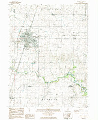
 1986 Cissna Park1986 Print · USGSThe village of Cissna Park sits at the heart of this 1980s survey of eastern Illinois. Genealogists and local researchers can trace family landmarks like the Zion church, the local Cem, and the waters of Kellart Lake.
 - 1986 Map of Claytonville
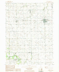
 1986 Claytonville1986 Print · USGSIroquois County prairie life is documented in the 1980s across the townships of Ash Grove and Lovejoy. Genealogists and local historians can trace small-town footprints in Claytonville and Goodwine or locate family plots at several rural Cem sites.
 - 1986 Map of L'Erable
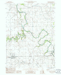
 1986 L'Erable1986 Print · USGSIroquois County in the mid-1980s reveals a structured agricultural landscape centered on the winding Iroquois River. Researchers can trace the layout of small communities like L'Erable and Plato, alongside landmarks like the L'Erable Cem.
 - 1986 Map of Cabery
 1986 Cabery1986 Print · USGSThe prairie landscape at the junction of Ford and Kankakee counties is captured here in the mid-1980s. Researchers can trace the Illinois Central Gulf rail line near Cabery or locate local landmarks like Rogers Grove and rural cemeteries.
 - 1986 Map of La Hogue
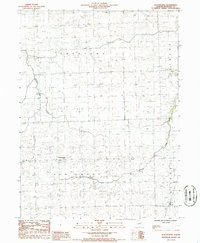
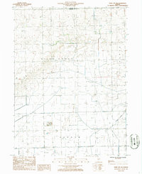
 1986 La Hogue1986 Print · USGSIroquois County at the mid-eighties reveals a landscape shaped by the rail lines and townships of the Illinois prairie. Genealogists and local historians can trace the rural tracts between La Hogue and the Gilman corporate boundary, or locate private airfields like the Wilken Landing Strip.
 - 1986 Map of Gilman
 1986 Gilman1986 Print · USGSIroquois County's prairie landscape is defined by its rail junctions and townships in the 1980s. Trace the historical tracks of the Illinois Central Gulf and locate specific sites like the Landing Strip and the small settlement of Leonard.
 - 1986 Map of Crescent City
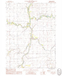
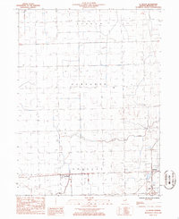
 1986 Crescent City1986 Print · USGSIroquois County at the mid-eighties shows a landscape of river confluences and rural infrastructure. Researchers can trace the paths of the Iroquois River and Spring Creek or locate local landmarks like the Radio Towers WGFA and the Cem.
 - 1986 Map of Onarga West
 1986 Onarga West1986 Print · USGSIroquois County farmland is captured here in the mid-1980s, showcasing the rural township grids and rail corridors of east-central Illinois. Genealogists and local historians can trace the paths of the Illinois Central Gulf through Delrey or locate rural landmarks like the Cem near Ridgeville.
 - 1986 Map of Piper City
 1986 Piper City1986 Print · USGSThe Illinois prairie around Ford and Livingston counties is captured here in the mid-1980s. Genealogists can trace family roots through Piper City or locate the Cem and local aviation sites like the Bradbury Landing Strip.
 - 1986 Map of Piper City NE
 1986 Piper City NE1986 Print · USGSAgricultural life in the Illinois prairie is documented during the 1980s along the border of Kankakee and Iroquois counties. Researchers can trace rural land use through features like Berns Landing Strip, the winding Langan Creek, and a local Cem.
 - 1986 Map of Buckley
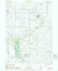 1986 Buckley1986 Print · USGSThe eastern Illinois prairie comes into focus in the mid-1980s, centered on the railroad towns of Iroquois County. Genealogists and historians can trace the development of Buckley and Loda or explore the lakeside communities at Bayles Lake and Iroquois Lake.
 - 1986 Map of Onarga East
 1986 Onarga East1986 Print · USGSIroquois County farmland in the mid-1980s reveals a quiet landscape of rural townships and winding waterways. Researchers can trace the layout of early communities like Gilman and Onarga, or find family history landmarks such as Idaville Corner and the local Cem.
 - 1987 Map of Danville, 1994 Print
 1987 Danville1994 Print · USGSThe Illinois-Indiana borderlands thrived in the 1980s as a crossroads of rail commerce and river-fed agriculture. Genealogists and historians can trace the foundations of Danville and Covington while locating landmarks like Spring Hill Cemetery or the Vermilion County Courthouse.
End of results
Showing maps 1-24 of 24
Top cities of Iroquois County
- Watseka historical maps
- Gilman historical maps
- Onarga historical maps
- Milford historical maps
- Clifton historical maps
- Sheldon historical maps
See more
Frequently asked questions
- What are the different types of historical maps available for Iroquois County?
- What is the oldest map of Iroquois County?
- Where can I purchase historical maps of Iroquois County for my home or office?
- Where can I download high-res historical maps of Iroquois County?
- Are there historical topographic maps available for Iroquois County?
- Is there historical aerial imagery available for Iroquois County?
- Where are historical maps of Iroquois County sourced from?