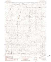
1982 Map of East Lynn
USGS Topo · Published 1983About this map
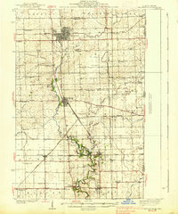
East Lynn sits at the junction of two major rail lines in the early 1980s, serving as a central hub for the surrounding agricultural townships of Butler and Grant. The crossing of the Norfolk and Western and Missouri Pacific railroads defines the local geography, anchoring small prairie settlements like Hustle and Lynn. This era shows a landscape managed by utility and transport, with a Radio Tower and Wooden Pole Trans Line cutting across the drainage basins of Fountain Creek and Whisky Creek.
Find a feature on this map
22 named features on this map. Tap any name to fly to it.
Don’t see what you’re looking for? This feature index may not catch every label — zoom into the map to look around manually.
Map Details
Editions of this 1982 East Lynn Map
This is the sole edition of this map. No revisions or reprints were ever made.
Other maps of this area
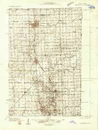
1933 · Hoopeston
USGS Topo · 1:48,000
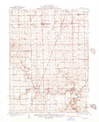
1936 · Potomac
USGS Topo · 1:62,500
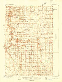
1938 · Milford
USGS Topo · 1:48,000
1938 · Hoopeston
USGS Topo · 1:62,500
1939 · Cissna Park
USGS Topo · 1:62,500
1944 · Milford
USGS Topo · 1:62,500
1949 · Cissna Park
USGS Topo · 1:62,500

1953 · Danville
USGS Topo · 1:250,000

1955 · Danville
USGS Topo · 1:250,000

1956 · Danville
USGS Topo · 1:250,000