2000s (21st Century) Maps of Willow Hill, Illinois
Explore 10 historic maps of Willow Hill from the 2000s (21st Century). These maps offer a rare glimpse into what life looked like during the 2000s — showing old roads, neighborhoods, homes, and landmarks that have changed or disappeared over time.
Whether you're researching your family's past, planning a metal detecting trip, or studying how Willow Hill's landscape evolved across the 2000s, these high-resolution maps are a powerful tool for exploring the history of this region.
- Focus on a specific era: All maps on this page are from the 2000s, giving you a focused view of this time period.
- See what’s changed: Compare century-old streets, trails, and buildings to today's modern landscape using overlays and satellite layers.
- Research with precision: Use these maps for genealogy, historical research, land use analysis, or educational projects.
- View, download, or print: Maps are fully viewable online in high resolution, and can be downloaded or printed for your own records.
Start exploring Willow Hill's history through authentic maps from the 2000s. This is your window into the past.
Willow Hill, IL maps
(10)- 2012 Map of Yale, 2012 Print
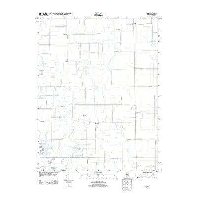 2012 Yale2012 Print · USGSCovers Willow Hill, including Hunt City, Yale, and other nearby areas
 - 2012 Map of Sainte Marie, 2012 Print
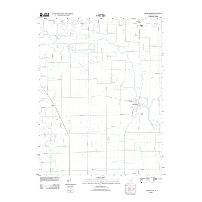 2012 Sainte Marie2012 Print · USGSCovers Willow Hill, including Boos, Sainte Marie, and other nearby areas
 - 2015 Map of Sainte Marie, 2015 Print
 2015 Sainte Marie2015 Print · USGSCovers Willow Hill, including Boos, Sainte Marie, and other nearby areas
 - 2015 Map of Yale, 2015 Print
 2015 Yale2015 Print · USGSCovers Willow Hill, including Hunt City, Yale, and other nearby areas
 - 2018 Map of Yale, 2018 Print
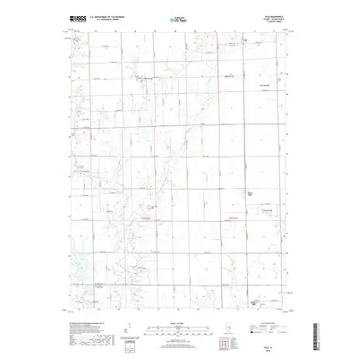 2018 Yale2018 Print · USGSCovers Willow Hill, including Hunt City, Yale, and other nearby areas
 - 2018 Map of Sainte Marie, 2018 Print
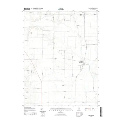
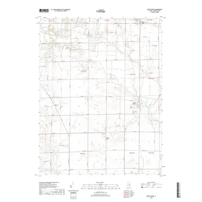 2018 Sainte Marie2018 Print · USGSCovers Willow Hill, including Boos, Sainte Marie, and other nearby areas
 - 2021 Map of Sainte Marie, 2021 Print
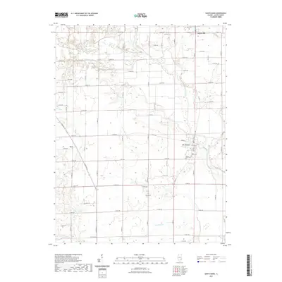 2021 Sainte Marie2021 Print · USGSCovers Willow Hill, including Boos, Sainte Marie, and other nearby areas
 - 2021 Map of Yale, 2021 Print
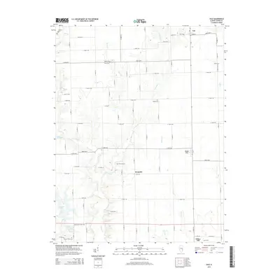
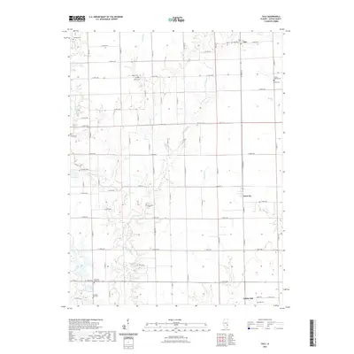 2021 Yale2021 Print · USGSCovers Willow Hill, including Hunt City, Yale, and other nearby areas
 - 2024 Map of Yale, 2024 Print
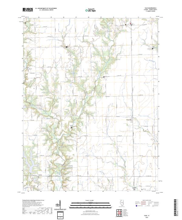 2024 Yale2024 Print · USGSJasper County farming communities thrive along the banks of West Crooked Creek during this modern era. Genealogists can trace family lines through numerous rural burial sites including Brockville Cem, Yale Cem, and the unique Farley-Bethel Cem.
 - 2024 Map of Sainte Marie, 2024 Print
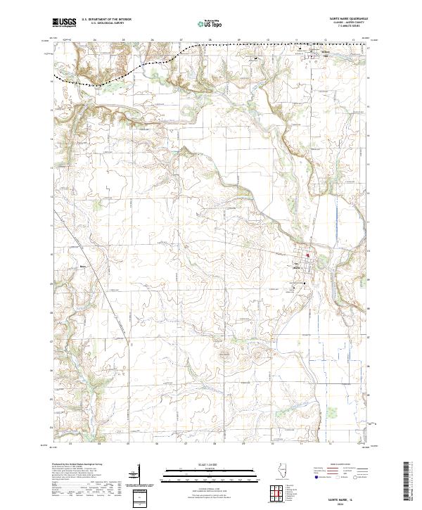 2024 Sainte Marie2024 Print · USGSJasper County farmland and river bottoms are documented here in the early twenty-first century, showing the enduring rural layout of southeastern Illinois. Researchers can locate family sites near Ste. Marie or trace historic burials at Shiloh Cem and Eidson Cem.
End of results
Showing maps 1-10 of 10
Top cities near Willow Hill
- Newton historical maps
- Oblong historical maps
- Hunt City historical maps
- Orange historical maps
- Jewett historical maps
- Hidalgo historical maps
See more
Frequently asked questions
- What are the different types of historical maps available for Willow Hill?
- What is the oldest map of Willow Hill?
- Where can I purchase historical maps of Willow Hill for my home or office?
- Where can I download high-res historical maps of Willow Hill?
- Are there historical topographic maps available for Willow Hill?
- Is there historical aerial imagery available for Willow Hill?
- Where are historical maps of Willow Hill sourced from?