Old Maps of Willow Hill, Illinois for Genealogy
Trace your family roots with 23 historic maps of Willow Hill. These high-res maps reveal old neighborhoods, homesites, landmarks, and streets — helping you uncover where your ancestors lived and how the area evolved over time.
- Explore historic neighborhoods: Identify where your relatives may have lived in the 1800s or 1900s.
- Compare maps over time: Trace the changes in streets, buildings, and landmarks for multi-generational research.
- Perfect for genealogy & ancestry research: Used by family historians and researchers to map out lineage and migration.
These maps are an incredible resource for exploring your personal connection to Willow Hill's past.
Willow Hill, IL maps
(23)- 1940 Map of Greenup, 1958 Print
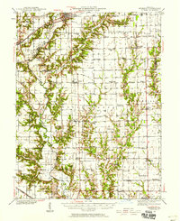 1940 Greenup1958 Print · USGSCumberland and Jasper Counties are shown in detail as they appeared just before the war, dominated by the winding valley of the Embarrass River. Genealogists can trace dozens of country schools and churches, including Scotch Chapel Sch, Hazel Dell, and Washington Cem.2 unique versions available
 - 1941 Map of Newton, 1972 Print
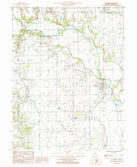
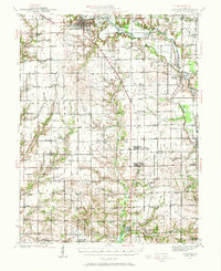 1941 Newton1972 Print · USGSJasper and Richland counties appear here during the early 1940s, showing a landscape of river-valley farms and small rail towns. Genealogists can trace family footprints through dozens of rural landmarks like Onion Prairie Sch, Bethel Cem, and Willow Hill.
 - 1943 Map of Greenup
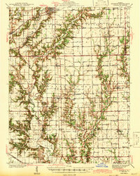 1943 Greenup1943 Print · USGSCumberland and Jasper counties are captured here in the early 1940s, highlighting a landscape defined by the Embarrass River and the historic National Road. Researchers can locate dozens of rural schools and family landmarks, from Hunt City to the Washington Cem and Wade Sch.2 unique versions available
 - 1943 Map of Newton
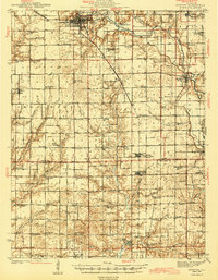 1943 Newton1943 Print · USGSJasper and Richland counties are captured here in the early 1940s, showing a landscape defined by the Embarrass River and the Illinois Central railroad. Genealogists can locate dozens of country schools and churches, from Brush College Sch to Shiloh Ch.2 unique versions available
 - 1958 Map of Decatur, 1971 Print
 1958 Decatur1971 Print · USGSCentral Illinois in the mid-twentieth century shows a landscape defined by industrial rail hubs and the creation of large reservoirs. Researchers can trace historic corridors like the Penn Central or locate landmarks such as Lincoln Log Cabin State Park and Lake Springfield.3 unique versions available
 - 1958 Map of Belleville, 1973 Print
 1958 Belleville1973 Print · USGSSouthern Illinois during the mid-twentieth century reveals a landscape of industrial growth and massive new reservoirs. Genealogists and historians can trace the paths of the Illinois Central RR through towns like Centralia or locate landmarks such as Emerald Mound and the Looking Glass Prairie.3 unique versions available
 - 1961 Map of Decatur
 1961 Decatur1961 Print · USGSCentral Illinois in the late fifties was a bustling corridor of rail lines and prairie commerce centered on the state capital. Genealogists and historians can trace the intricate connections between Springfield, Decatur, and dozens of smaller settlements like Nokomis and Arcola.2 unique versions available
 - 1962 Map of Belleville
 1962 Belleville1962 Print · USGSSouthern Illinois in the late fifties reveals a landscape of industrial growth and ancient landmarks before the full expansion of the interstate system. Genealogists can trace family names and rural post offices near Centralia, Salem, and the historic Monks Mound.
 - 1985 Map of Ste Marie
 1985 Ste Marie1985 Print · USGSJasper County in the mid-1980s reveals a quiet landscape of river bends and rural settlements along the Embarras River. Researchers can trace the layout of the Ste Marie community, locate the local St Marie Ch, or explore the terrain around the ancient Indian Mound.
 - 1985 Map of Yale
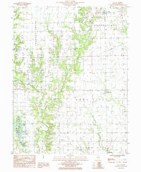 1985 Yale1985 Print · USGSJasper County in the mid-1980s reveals a landscape of active oil production and rural villages connected by the winding Crooked Creek. Trace local history through the streets of Yale, the layout of Hunt City, and the recreation areas at Sam Parr State Park.
 - 1986 Map of Olney
 1986 Olney1986 Print · USGSSouth-central Illinois in the mid-eighties shows a landscape of small agricultural towns linked by historic rail lines and prairie preserves. Trace family roots and vanished rail stops near Kinmundy, the Prairie Chicken Sanctuary, and Salem.2 unique versions available
 - 1986 Map of Effingham
 1986 Effingham1986 Print · USGSCentral Illinois during the mid-eighties was a hub of rail travel and water recreation centered on the new reservoirs. Genealogists and historians can trace the rural landscape between Mattoon and Effingham, locating landmarks like St Paul Ch and Eagle Creek State Park.2 unique versions available
 - 1998 Map of Yale, 2002 Print
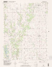 1998 Yale2002 Print · USGSJasper County at the close of the twentieth century shows a landscape defined by the waters of Lake Jasper and the winding Crooked Creek. Researchers can trace the boundaries of Sam Parr State Park or locate local landmarks like the Drive-in Theater and the town of Hunt City.
 - 2012 Map of Yale, 2012 Print
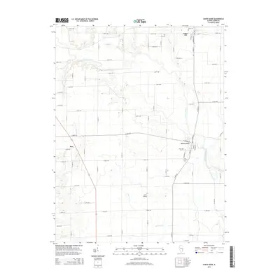
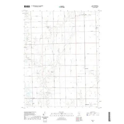
 2012 Yale2012 Print · USGSCovers Willow Hill, including Hunt City, Yale, and other nearby areas
 - 2012 Map of Sainte Marie, 2012 Print
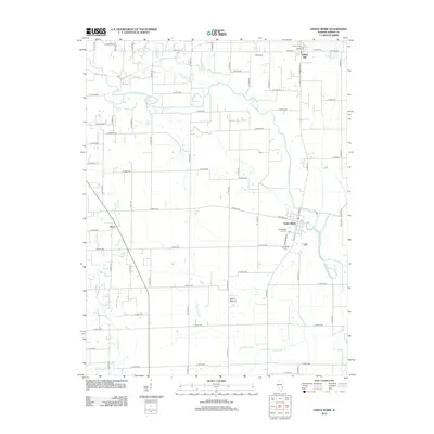 2012 Sainte Marie2012 Print · USGSCovers Willow Hill, including Boos, Sainte Marie, and other nearby areas
 - 2015 Map of Sainte Marie, 2015 Print
 2015 Sainte Marie2015 Print · USGSCovers Willow Hill, including Boos, Sainte Marie, and other nearby areas
 - 2015 Map of Yale, 2015 Print
 2015 Yale2015 Print · USGSCovers Willow Hill, including Hunt City, Yale, and other nearby areas
 - 2018 Map of Yale, 2018 Print
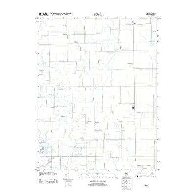
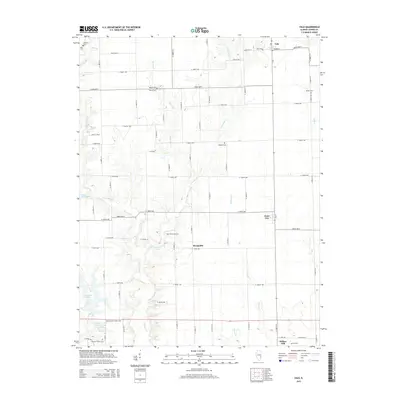
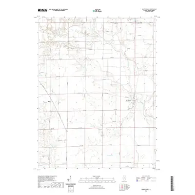
 2018 Yale2018 Print · USGSCovers Willow Hill, including Hunt City, Yale, and other nearby areas
 - 2018 Map of Sainte Marie, 2018 Print
 2018 Sainte Marie2018 Print · USGSCovers Willow Hill, including Boos, Sainte Marie, and other nearby areas
 - 2021 Map of Sainte Marie, 2021 Print
 2021 Sainte Marie2021 Print · USGSCovers Willow Hill, including Boos, Sainte Marie, and other nearby areas
 - 2021 Map of Yale, 2021 Print
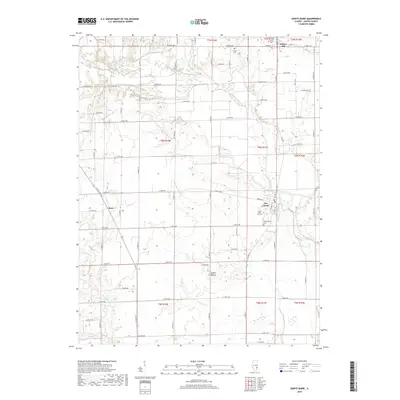
 2021 Yale2021 Print · USGSCovers Willow Hill, including Hunt City, Yale, and other nearby areas
 - 2024 Map of Yale, 2024 Print
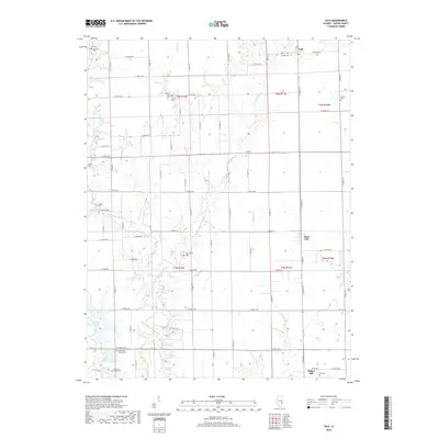
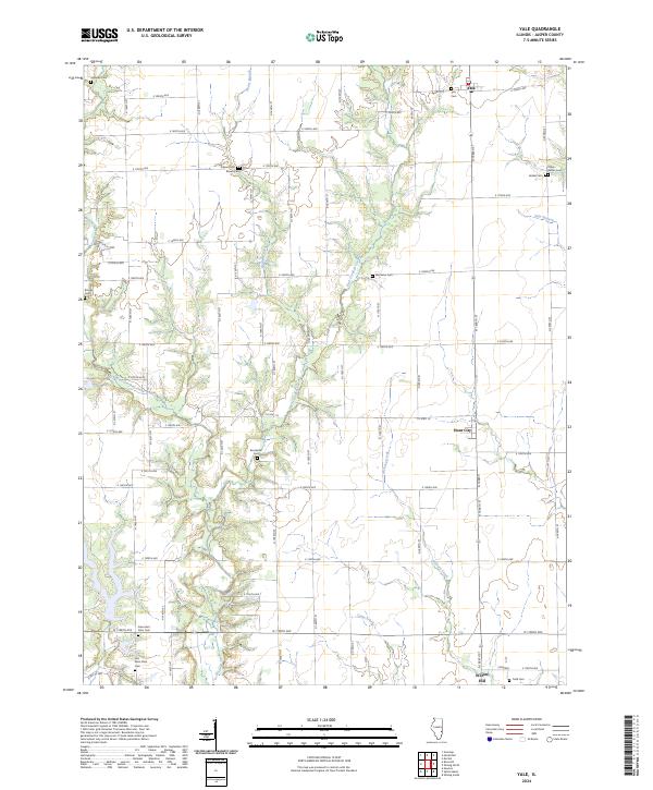 2024 Yale2024 Print · USGSJasper County farming communities thrive along the banks of West Crooked Creek during this modern era. Genealogists can trace family lines through numerous rural burial sites including Brockville Cem, Yale Cem, and the unique Farley-Bethel Cem.
 - 2024 Map of Sainte Marie, 2024 Print
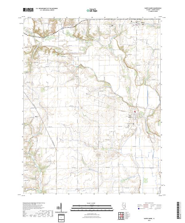 2024 Sainte Marie2024 Print · USGSJasper County farmland and river bottoms are documented here in the early twenty-first century, showing the enduring rural layout of southeastern Illinois. Researchers can locate family sites near Ste. Marie or trace historic burials at Shiloh Cem and Eidson Cem.
End of results
Showing maps 1-23 of 23
Top cities near Willow Hill
- Newton historical maps
- Oblong historical maps
- Hunt City historical maps
- Orange historical maps
- Jewett historical maps
- Hidalgo historical maps
See more
Frequently asked questions
- What are the different types of historical maps available for Willow Hill?
- What is the oldest map of Willow Hill?
- Where can I purchase historical maps of Willow Hill for my home or office?
- Where can I download high-res historical maps of Willow Hill?
- Are there historical topographic maps available for Willow Hill?
- Is there historical aerial imagery available for Willow Hill?
- Where are historical maps of Willow Hill sourced from?