Old Maps of Jerseyville, Illinois for Genealogy
Trace your family roots with 17 historic maps of Jerseyville. These high-res maps reveal old neighborhoods, homesites, landmarks, and streets — helping you uncover where your ancestors lived and how the area evolved over time.
- Explore historic neighborhoods: Identify where your relatives may have lived in the 1800s or 1900s.
- Compare maps over time: Trace the changes in streets, buildings, and landmarks for multi-generational research.
- Perfect for genealogy & ancestry research: Used by family historians and researchers to map out lineage and migration.
These maps are an incredible resource for exploring your personal connection to Jerseyville's past.
Jerseyville, IL maps
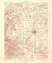
(17)- 1930 Map of Jerseyville, 1965 Print
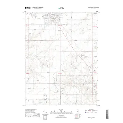
 1930 Jerseyville1965 Print · USGSJersey and Greene Counties are captured here between the world wars, showing a landscape defined by steam rail and one-room schoolhouses. Genealogists can trace the exact locations of Old Kane, the County Farm, and numerous local landmarks like St Marys Sch.2 unique versions available
 - 1933 Map of Jerseyville
 1933 Jerseyville1933 Print · USGSJersey County is captured in the early thirties as a hub of rail activity and rural education. Genealogists can trace family roots through numerous local landmarks like Bethany Ch, Otterville, and the remote Shakerag Sch.2 unique versions available
 - 1948 Map of Quincy
 1948 Quincy1948 Print · USGSThe Mississippi and Illinois River valleys are captured at a post-war crossroads as rail and river travel met the expanding highway system. Genealogists can trace family settlements from Quincy to Hannibal and smaller towns like Vandalia and Jerseyville.2 unique versions available
 - 1956 Map of Quincy, 1967 Print
 1956 Quincy1967 Print · USGSThe river and rail corridors of the Illinois-Missouri border are documented here during the mid-1950s. Researchers can trace historic river landings and regional transit hubs from Quincy and Hannibal to smaller settlements like Meredosia and Roodhouse.3 unique versions available
 - 1983 Map of Jerseyville South, 1984 Print
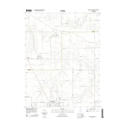
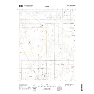
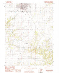 1983 Jerseyville South1984 Print · USGSJersey and Mississippi townships in the early eighties show a landscape of traditional farming and evolving transport. Genealogists can locate family names at Lurton Cem or Van Horn Cem and trace the paths of McClusky and New Delhi.
 - 1983 Map of Jerseyville North, 1984 Print
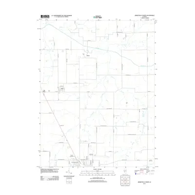
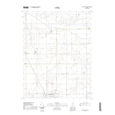
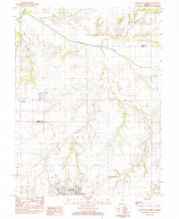 1983 Jerseyville North1984 Print · USGSJersey and Greene Counties are captured here in the early 1980s as agricultural life centered around the rail line and creek valleys. Genealogists can locate family landmarks like Luckey-Weber Cem, Old Kane, and the St Francis Xaviers Cath Ch near Jerseyville.
 - 1985 Map of Jerseyville
 1985 Jerseyville1985 Print · USGSThe confluence of the Illinois and Mississippi rivers defines this 1980s landscape of fertile bottomlands and rail-hub towns. Genealogists and historians can trace the foundations of communities like Jerseyville and White Hall alongside the Oak Grove Cem and St Mary Church.2 unique versions available
 - 2012 Map of Jerseyville South, 2012 Print
 2012 Jerseyville South2012 Print · USGSCovers Jerseyville, including Godfrey, Dow, and other nearby areas
 - 2012 Map of Jerseyville North, 2012 Print
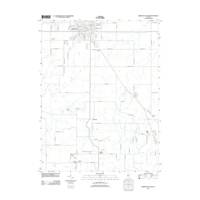
 2012 Jerseyville North2012 Print · USGSCovers Jerseyville, including Kane, Jalapa, and other nearby areas
 - 2015 Map of Jerseyville South, 2015 Print
 2015 Jerseyville South2015 Print · USGSCovers Jerseyville, including Godfrey, Dow, and other nearby areas
 - 2015 Map of Jerseyville North, 2015 Print
 2015 Jerseyville North2015 Print · USGSCovers Jerseyville, including Kane, Jalapa, and other nearby areas
 - 2018 Map of Jerseyville South, 2018 Print
 2018 Jerseyville South2018 Print · USGSCovers Jerseyville, including Godfrey, Dow, and other nearby areas
 - 2018 Map of Jerseyville North, 2018 Print
 2018 Jerseyville North2018 Print · USGSCovers Jerseyville, including Kane, Jalapa, and other nearby areas
 - 2021 Map of Jerseyville North, 2021 Print
 2021 Jerseyville North2021 Print · USGSCovers Jerseyville, including Kane, Jalapa, and other nearby areas
 - 2021 Map of Jerseyville South, 2021 Print
 2021 Jerseyville South2021 Print · USGSCovers Jerseyville, including Godfrey, Dow, and other nearby areas
 - 2024 Map of Jerseyville North, 2024 Print
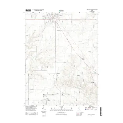
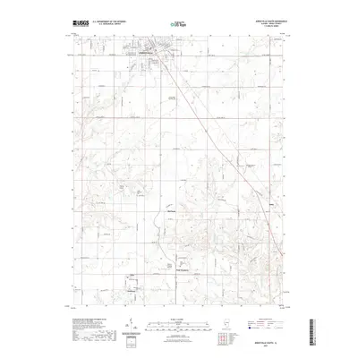
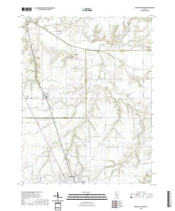 2024 Jerseyville North2024 Print · USGSThe rural border of Jersey and Greene Counties comes into focus in this contemporary survey of the Illinois prairie. Genealogists can trace family heritage at Saint Francis Xaviers Cemetery or locate the distinct footprints of Old Kane and Jalapa.
 - 2024 Map of Jerseyville South, 2024 Print
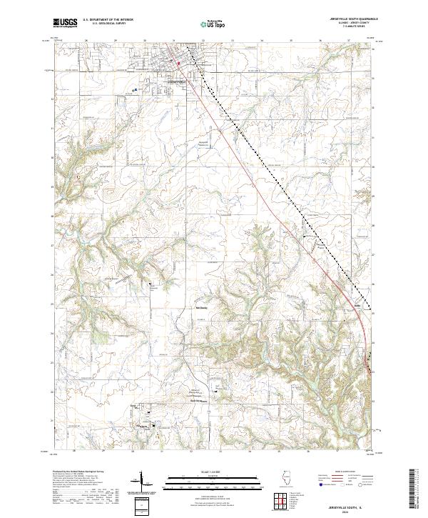 2024 Jerseyville South2024 Print · USGSJersey County, Illinois, remains a landscape of traditional agricultural settlements and local aviation hubs in this recent survey. Genealogists can locate family burial sites at Lamb Memorial Cem and Van Horn Cem, or trace the rural routes connecting McClusky and Delhi.
End of results
Showing maps 1-17 of 17
Top cities near Jerseyville
- Alton historical maps
- Godfrey historical maps
- East Alton historical maps
- Brighton historical maps
- Carrollton historical maps
- Greenfield historical maps
See more
Frequently asked questions
- What are the different types of historical maps available for Jerseyville?
- What is the oldest map of Jerseyville?
- Where can I purchase historical maps of Jerseyville for my home or office?
- Where can I download high-res historical maps of Jerseyville?
- Are there historical topographic maps available for Jerseyville?
- Is there historical aerial imagery available for Jerseyville?
- Where are historical maps of Jerseyville sourced from?