Old Maps of Ottawa, Illinois for Academic Research
Study the evolution of Ottawa with 26 high-resolution historic maps. Whether you're teaching, researching, or modeling changes in land use, these maps provide essential visual documentation of urban, environmental, and geographic change.
- Analyze long-term change: Track patterns in development, transportation, and natural features.
- Ideal for environmental or urban studies: Support academic projects with primary historical map data.
- Use in the classroom or lab: Educators and researchers rely on these maps to bring historical context to life.
These maps are a powerful tool for teaching, research, and visualizing how Ottawa has changed over the decades.
Ottawa, IL maps
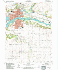
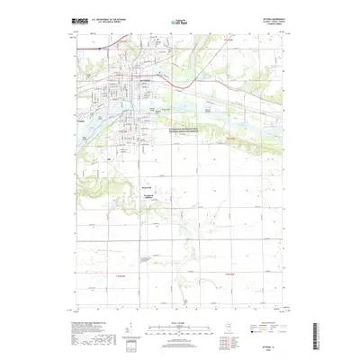
(26)- 1892 Map of Ottawa
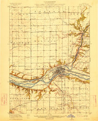
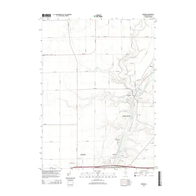
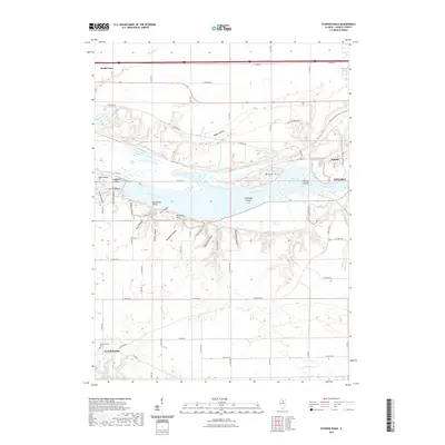
 1892 Ottawa1892 Print · USGSLaSalle County, Illinois, is captured here during the late nineteenth-century transition from canal commerce to a dominant rail network. Trace the path of the Illinois and Michigan Canal and find old settlements like Vermillionville, Wedron, and Dayton.9 unique versions available
 - 1915 Map of Ottawa
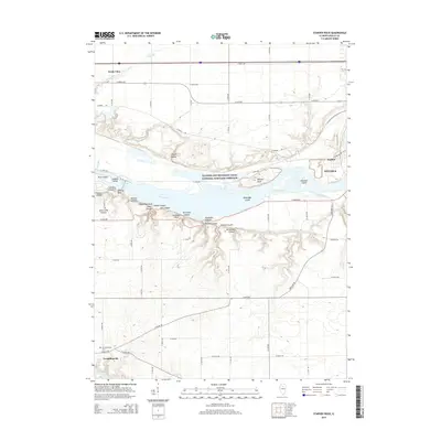
 1915 Ottawa1915 Print · USGSLaSalle County in the early twentieth century centered on the industrial and transit hub of Ottawa at the river's edge. Researchers can trace the path of the Illinois and Michigan Canal or locate local landmarks like Twin Bluffs and Hickory College.7 unique versions available
 - 1946 Map of Ottawa, 1963 Print
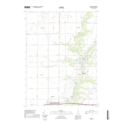
 1946 Ottawa1963 Print · USGSOttawa and the Illinois River valley are shown here just after the war, featuring a landscape of industrial riverfronts and deep sandstone canyons. Researchers can locate dozens of country schools like Hickory College or trace the Illinois and Michigan Canal and Starved Rock State Park.2 unique versions available
 - 1958 Map of Aurora, 1969 Print
 1958 Aurora1969 Print · USGSNorthern Illinois in the late fifties shows a landscape of powerful river industry and expanding transport corridors. Genealogists and historians can trace the development of Aurora and Joliet or locate sites like the Elwood Ordnance Plant and Starved Rock.3 unique versions available
 - 1961 Map of Aurora
 1961 Aurora1961 Print · USGSNorthern Illinois at the height of the post-war era reveals a landscape of massive industrial works and thriving river towns. Genealogists and historians can trace the paths of the Lincoln Highway or locate long-standing landmarks like the Green River Ordnance Plant and Starved Rock State Park.
 - 1970 Map of Starved Rock, 1972 Print
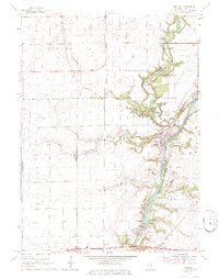
 1970 Starved Rock1972 Print · USGSThe Illinois River valley in the early seventies reveals a landscape of deep canyons and heavy industry. Trace the ABANDONED Illinois and Michigan Canal and find landmarks like Buffalo Rock and the Deer Park Ch Cem.3 unique versions available
 - 1970 Map of Ottawa, 1972 Print
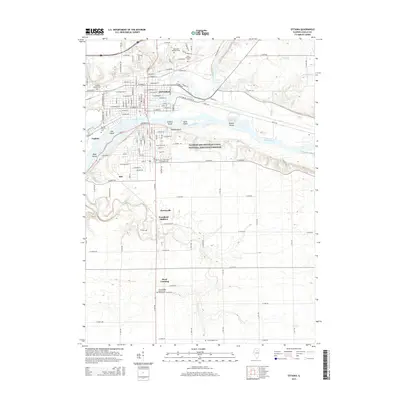
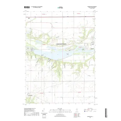
 1970 Ottawa1972 Print · USGSOttawa and the river valleys of LaSalle County are documented here in the early seventies, showing a hub of industry and transport. Trace the legacy of the Chicago and Michigan Canal or locate local landmarks like Marquette High Sch and Claypits.2 unique versions available
 - 1970 Map of Wedron, 1972 Print
 1970 Wedron1972 Print · USGSLaSalle County's river-driven geography is on full display in the early seventies as the waterways meet at Wedron. Researchers can trace local history through family sites like Trumbo Cem, industry at the Gravel Pit, and youth landmarks such as Camp Tuckabatchee.2 unique versions available
 - 1985 Map of Ottawa
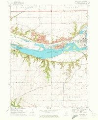
 1985 Ottawa1985 Print · USGSThe Illinois River valley in the mid-1980s shows a landscape balancing river commerce with sprawling energy and mining operations. Researchers can trace the layout of mining towns like Coal City or find family landmarks such as Oakwood Memorial Cem and Smiths Mound.
 - 1991 Map of Ottawa
 1991 Ottawa1991 Print · USGSNorth-central Illinois in the early nineties remains a vital corridor of river commerce and heavy rail. Genealogists and historians can trace the legacy of industrial mining near Morris or explore the river-bluff geography of Starved Rock State Park and Buffalo Rock.
 - 1994 Map of Ottawa
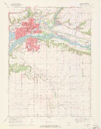
 1994 Ottawa1994 Print · USGSOttawa and the river confluence are captured here in the 1990s as the regional hub evolved from its industrial roots. Trace family heritage and local development through detailed sites like Marquette High Sch, Ottawa Ave Cem, and the Marseilles Lock.
 - 2012 Map of Starved Rock, 2012 Print
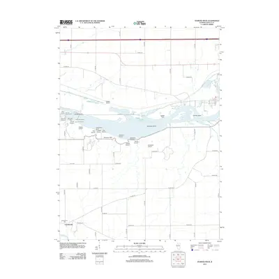 2012 Starved Rock2012 Print · USGSCovers Ottawa, including Naplate, North Utica, and other nearby areas
 - 2012 Map of Ottawa, 2012 Print
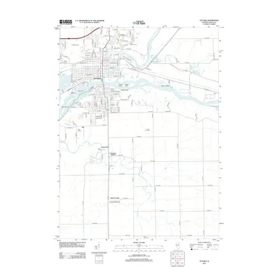 2012 Ottawa2012 Print · USGSCovers Ottawa, including Naplate, Stoneyville, and other nearby areas
 - 2012 Map of Wedron, 2012 Print
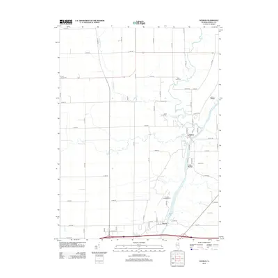 2012 Wedron2012 Print · USGSCovers Ottawa, including Dayton, Blakes, and other nearby areas
 - 2015 Map of Wedron, 2015 Print
 2015 Wedron2015 Print · USGSCovers Ottawa, including Dayton, Blakes, and other nearby areas
 - 2015 Map of Starved Rock, 2015 Print
 2015 Starved Rock2015 Print · USGSCovers Ottawa, including Naplate, North Utica, and other nearby areas
 - 2015 Map of Ottawa, 2015 Print
 2015 Ottawa2015 Print · USGSCovers Ottawa, including Naplate, Stoneyville, and other nearby areas
 - 2018 Map of Wedron, 2018 Print
 2018 Wedron2018 Print · USGSCovers Ottawa, including Dayton, Blakes, and other nearby areas
 - 2018 Map of Ottawa, 2018 Print
 2018 Ottawa2018 Print · USGSCovers Ottawa, including Naplate, Stoneyville, and other nearby areas
 - 2018 Map of Starved Rock, 2018 Print
 2018 Starved Rock2018 Print · USGSCovers Ottawa, including Naplate, North Utica, and other nearby areas
 - 2021 Map of Wedron, 2021 Print
 2021 Wedron2021 Print · USGSCovers Ottawa, including Dayton, Blakes, and other nearby areas
 - 2021 Map of Ottawa, 2021 Print
 2021 Ottawa2021 Print · USGSCovers Ottawa, including Naplate, Stoneyville, and other nearby areas
 - 2021 Map of Starved Rock, 2021 Print
 2021 Starved Rock2021 Print · USGSCovers Ottawa, including Naplate, North Utica, and other nearby areas
 - 2024 Map of Starved Rock, 2024 Print
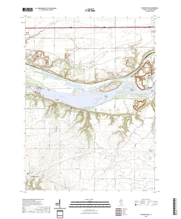 2024 Starved Rock2024 Print · USGSThe Illinois River valley in modern-day LaSalle County reveals a landscape of deep sandstone ravines and historic settlements. Researchers can trace the rugged topography of French Canyon or locate family sites near Vermilionville and the Vermillionville Cem.
 - 2024 Map of Ottawa, 2024 Print
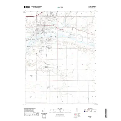
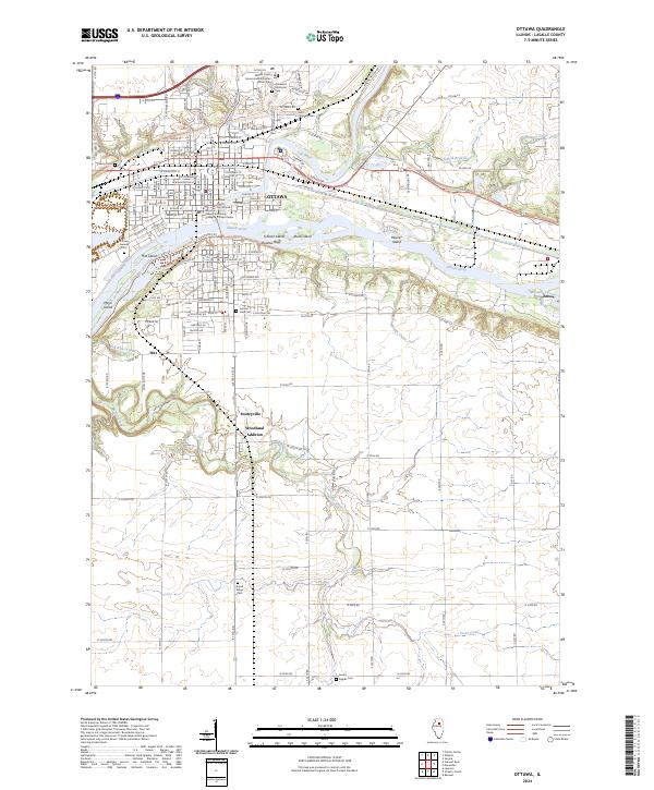 2024 Ottawa2024 Print · USGSThe confluence of the Illinois and Fox Rivers in the 2020s remains a critical nexus of water and industry. Trace family roots and local development through Stoneyville, the LaSalle County Courthouse, and Saint Columba Cem.
Showing maps 1-25 of 26
Top cities near Ottawa
- Streator historical maps
- LaSalle historical maps
- Northville historical maps
- Mendota historical maps
- Marseilles historical maps
- Oglesby historical maps
See more
Top neighborhoods of Ottawa
Frequently asked questions
- What are the different types of historical maps available for Ottawa?
- What is the oldest map of Ottawa?
- Where can I purchase historical maps of Ottawa for my home or office?
- Where can I download high-res historical maps of Ottawa?
- Are there historical topographic maps available for Ottawa?
- Is there historical aerial imagery available for Ottawa?
- Where are historical maps of Ottawa sourced from?