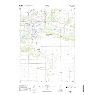
2018 Map of Ottawa
USGS Topo · Published 2018About this map
The confluence of the Fox River and the Illinois River anchors this study of LaSalle County, where the industrial and transport legacy of the region is clearly visible. The city of Ottawa sits at the heart of the sheet, surrounded by smaller communities such as Naplate, Hitt, and the residential Woodland Addition. The map documents the vital role of water management in the area's development, featuring the Marseilles Canal and the extensive Illinois and Michigan Canal National Heritage Corridor.
Find a feature on this map
99 named features on this map. Tap any name to fly to it.
Don’t see what you’re looking for? This feature index may not catch every label — zoom into the map to look around manually.
Map Details
Editions of this 2018 Ottawa Map
This is the sole edition of this map. No revisions or reprints were ever made.
Other maps of this area

1892 · Marseilles
USGS Topo · 1:62,500

1892 · Ottawa
USGS Topo · 1:62,500

1915 · Ottawa
USGS Topo · 1:62,500

1916 · Marseilles
USGS Topo · 1:62,500

1925 · Streator
USGS Topo · 1:62,500

1927 · Streator
USGS Topo · 1:62,500

1940 · Marseilles
USGS Topo · 1:62,500

1946 · Ottawa
USGS Topo · 1:62,500

1958 · Odell
USGS Topo · 1:62,500

1958 · Aurora
USGS Topo · 1:250,000