2000s (21st Century) Maps of Ottawa, Illinois
Explore 15 historic maps of Ottawa from the 2000s (21st Century). These maps offer a rare glimpse into what life looked like during the 2000s — showing old roads, neighborhoods, homes, and landmarks that have changed or disappeared over time.
Whether you're researching your family's past, planning a metal detecting trip, or studying how Ottawa's landscape evolved across the 2000s, these high-resolution maps are a powerful tool for exploring the history of this region.
- Focus on a specific era: All maps on this page are from the 2000s, giving you a focused view of this time period.
- See what’s changed: Compare century-old streets, trails, and buildings to today's modern landscape using overlays and satellite layers.
- Research with precision: Use these maps for genealogy, historical research, land use analysis, or educational projects.
- View, download, or print: Maps are fully viewable online in high resolution, and can be downloaded or printed for your own records.
Start exploring Ottawa's history through authentic maps from the 2000s. This is your window into the past.
Ottawa, IL maps
(15)- 2012 Map of Starved Rock, 2012 Print
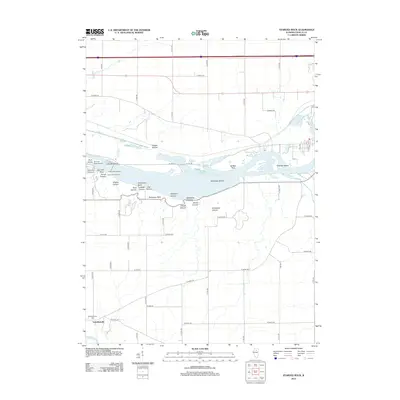 2012 Starved Rock2012 Print · USGSCovers Ottawa, including Naplate, North Utica, and other nearby areas
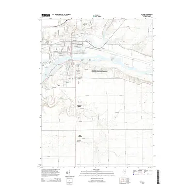
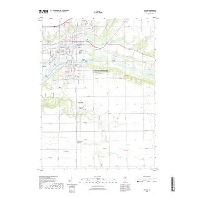
 - 2012 Map of Ottawa, 2012 Print
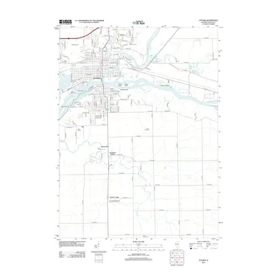 2012 Ottawa2012 Print · USGSCovers Ottawa, including Naplate, Stoneyville, and other nearby areas
 - 2012 Map of Wedron, 2012 Print
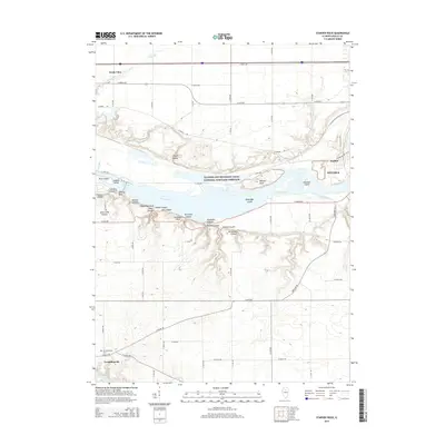
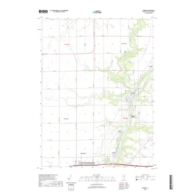
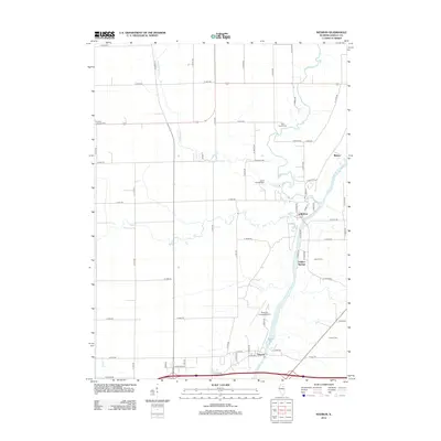 2012 Wedron2012 Print · USGSCovers Ottawa, including Dayton, Blakes, and other nearby areas
 - 2015 Map of Wedron, 2015 Print
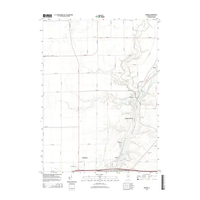 2015 Wedron2015 Print · USGSCovers Ottawa, including Dayton, Blakes, and other nearby areas
 - 2015 Map of Starved Rock, 2015 Print
 2015 Starved Rock2015 Print · USGSCovers Ottawa, including Naplate, North Utica, and other nearby areas
 - 2015 Map of Ottawa, 2015 Print
 2015 Ottawa2015 Print · USGSCovers Ottawa, including Naplate, Stoneyville, and other nearby areas
 - 2018 Map of Wedron, 2018 Print
 2018 Wedron2018 Print · USGSCovers Ottawa, including Dayton, Blakes, and other nearby areas
 - 2018 Map of Ottawa, 2018 Print
 2018 Ottawa2018 Print · USGSCovers Ottawa, including Naplate, Stoneyville, and other nearby areas
 - 2018 Map of Starved Rock, 2018 Print
 2018 Starved Rock2018 Print · USGSCovers Ottawa, including Naplate, North Utica, and other nearby areas
 - 2021 Map of Wedron, 2021 Print
 2021 Wedron2021 Print · USGSCovers Ottawa, including Dayton, Blakes, and other nearby areas
 - 2021 Map of Ottawa, 2021 Print
 2021 Ottawa2021 Print · USGSCovers Ottawa, including Naplate, Stoneyville, and other nearby areas
 - 2021 Map of Starved Rock, 2021 Print
 2021 Starved Rock2021 Print · USGSCovers Ottawa, including Naplate, North Utica, and other nearby areas
 - 2024 Map of Starved Rock, 2024 Print
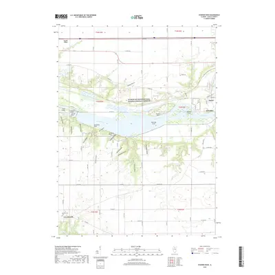
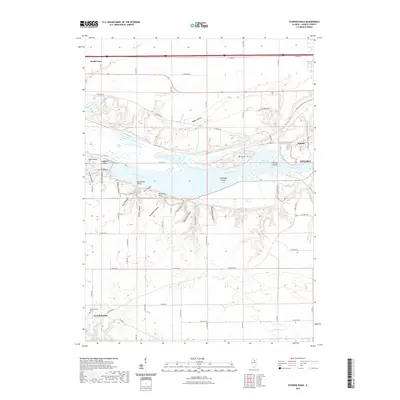
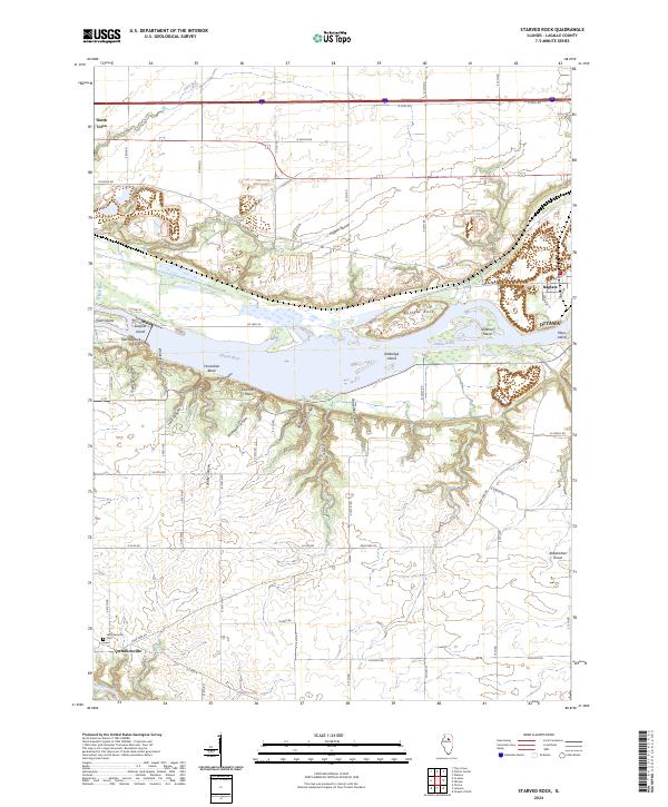 2024 Starved Rock2024 Print · USGSThe Illinois River valley in modern-day LaSalle County reveals a landscape of deep sandstone ravines and historic settlements. Researchers can trace the rugged topography of French Canyon or locate family sites near Vermilionville and the Vermillionville Cem.
 - 2024 Map of Ottawa, 2024 Print
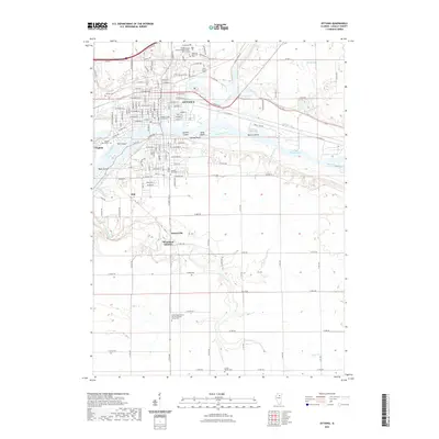
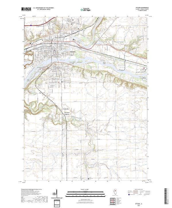 2024 Ottawa2024 Print · USGSThe confluence of the Illinois and Fox Rivers in the 2020s remains a critical nexus of water and industry. Trace family roots and local development through Stoneyville, the LaSalle County Courthouse, and Saint Columba Cem.
 - 2024 Map of Wedron, 2024 Print
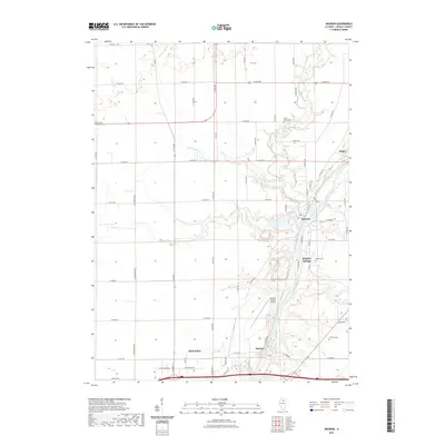
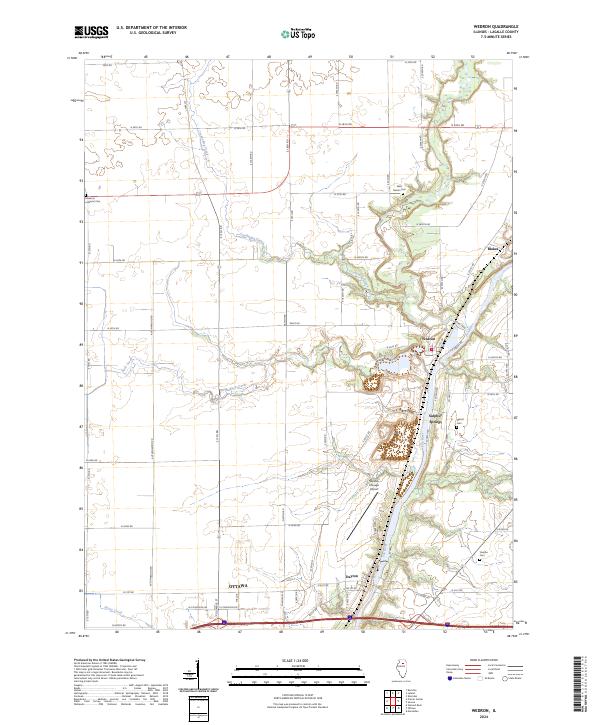 2024 Wedron2024 Print · USGSLaSalle County's river-cut plains are captured in this contemporary survey, tracing the winding Fox River corridor north of Ottawa. Local historians can locate ancestral sites at West Serena Cem and Debolt Cem or explore the riverside layouts of Wedron and Dayton.
End of results
Showing maps 1-15 of 15
Top cities near Ottawa
- Streator historical maps
- LaSalle historical maps
- Northville historical maps
- Mendota historical maps
- Marseilles historical maps
- Oglesby historical maps
See more
Top neighborhoods of Ottawa
Frequently asked questions
- What are the different types of historical maps available for Ottawa?
- What is the oldest map of Ottawa?
- Where can I purchase historical maps of Ottawa for my home or office?
- Where can I download high-res historical maps of Ottawa?
- Are there historical topographic maps available for Ottawa?
- Is there historical aerial imagery available for Ottawa?
- Where are historical maps of Ottawa sourced from?