Old Maps of Hartsburg, Illinois for Genealogy
Trace your family roots with 23 historic maps of Hartsburg. These high-res maps reveal old neighborhoods, homesites, landmarks, and streets — helping you uncover where your ancestors lived and how the area evolved over time.
- Explore historic neighborhoods: Identify where your relatives may have lived in the 1800s or 1900s.
- Compare maps over time: Trace the changes in streets, buildings, and landmarks for multi-generational research.
- Perfect for genealogy & ancestry research: Used by family historians and researchers to map out lineage and migration.
These maps are an incredible resource for exploring your personal connection to Hartsburg's past.
Hartsburg, IL maps
(23)- 1911 Map of Lincoln, 1967 Print
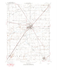 1911 Lincoln1967 Print · USGSLogan County at the dawn of the automotive age shows a landscape defined by rail lines and one-room schoolhouses. Genealogists can trace family footprints at Rose Hill Cemetery or locate ancestral farm sites near Hartsburg, Broadwell, and Mount Pulaski.
 - 1913 Map of Lincoln
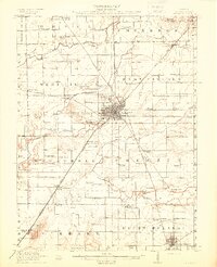 1913 Lincoln1913 Print · USGSLogan County’s agricultural and rail heartland is captured here just before the Great War. Genealogists can locate family lands near dozens of rural schools like Sigg School or trace the early electric ILLINOIS TRACTION SYSTEM through Broadwell.3 unique versions available
 - 1951 Map of Minier, 1952 Print
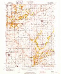 1951 Minier1952 Print · USGSTazewell and Logan Counties thrive as a rail-and-river agricultural hub during the mid-twentieth century. Family historians can trace local roots through numerous country landmarks like Mennonite Cem, the settlement at Mindale, and Hittle Grove Cem.3 unique versions available
 - 1958 Map of Peoria, 1969 Print
 1958 Peoria1969 Print · USGSCentral Illinois thrived as a hub of education and transport during the late sixties, as the new interstate system began to reshape the prairie. Genealogists and historians can trace local landmarks like Springdale Cem, Bradley University, and the sprawling grounds of Chanute AFB.4 unique versions available
 - 1961 Map of Peoria
 1961 Peoria1961 Print · USGSCentral Illinois thrived at the intersection of river trade and rail power during the late fifties. Genealogists and local historians can trace the rail networks of the Illinois Central and Wabash, alongside landmarks like Chanute AFB and Weldon Springs State Park.
 - 1963 Map of Peoria
 1963 Peoria1963 Print · USGSCentral Illinois thrived as a rail and highway crossroads during the early sixties, centered on the bustling Illinois River valley. Genealogists and historians can trace the mid-century layout of Peoria, locate the grounds of Chanute Air Force Base, and follow historic lines like the Toledo Peoria and Western Railway.
 - 1980 Map of Lincoln West
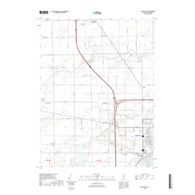
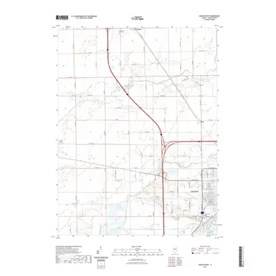
 1980 Lincoln West1980 Print · USGSWestern Logan County and the city of Lincoln are shown here in the 1970s, as the community expanded alongside the Illinois Central Gulf rail corridor. Genealogists can locate several rural burial sites like St Marys Cem and Reed Cem, or trace the development of Railsplitter State Park.
 - 1980 Map of Emden
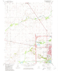
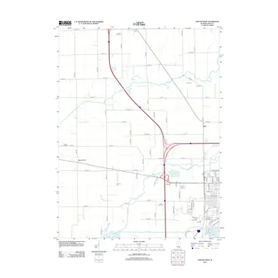
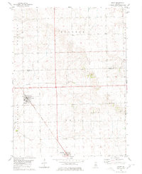 1980 Emden1980 Print · USGSThe Logan County agricultural corridor is captured here in the late 1970s, showcasing the rail-dependent layout of the Illinois prairie. Trace the historic route of the Illinois Central Gulf through Emden and Hartsburg, or find ancestral markers at Patterson Cemetery.
 - 1985 Map of Lincoln
 1985 Lincoln1985 Print · USGSMid-century Illinois comes to life in this survey of Logan and Mason counties as the interstate era reshapes the prairie. Genealogists and historians can trace rail-town development from San Jose to Kenney or locate landmarks like Rose Hill Cem and Funks Grove.
 - 1989 Map of Lincoln
 1989 Lincoln1989 Print · USGSCentral Illinois in the late eighties remains a landscape of productive prairie and vital river arteries. Genealogists and local historians can trace rural family landmarks like Rose Hill Cem, identify early aviation at Logan County Airport, or follow the Illinois Central Gulf Railroad through towns like Atlanta and Lincoln.
 - 1990 Map of Peoria
 1990 Peoria1990 Print · USGSCentral Illinois at the start of the nineties reveals a landscape of industrial river towns and sprawling university campuses. Researchers can trace the legacy of major institutions like Chanute Air Force Base and the University of Illinois alongside regional landmarks such as Sand Ridge State Forest.
 - 1996 Map of Emden, 1997 Print
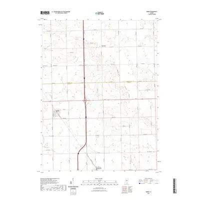
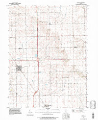 1996 Emden1997 Print · USGSEmden and Hartsburg are shown here in the mid-1990s as classic rail-aligned agricultural communities on the Logan County line. Trace family sites and local history through the Illinois Central Railroad corridor, Patterson Cem, and the rural Landing Strip.
 - 1996 Map of Lincoln West, 1997 Print
 1996 Lincoln West1997 Print · USGSCentral Illinois in the late twentieth century reveals a landscape of historic courthouses and rural townships. Trace family roots at Schrader Cem or visit the Postville Court House State Historic Site near Lincoln Lakes.
 - 2012 Map of Emden, 2012 Print
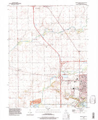
 2012 Emden2012 Print · USGSCovers Hartsburg, including Emden, Boynton, and other nearby areas
 - 2012 Map of Lincoln West, 2012 Print
 2012 Lincoln West2012 Print · USGSCovers Hartsburg, including Lincoln, Bell, and other nearby areas
 - 2015 Map of Emden, 2015 Print
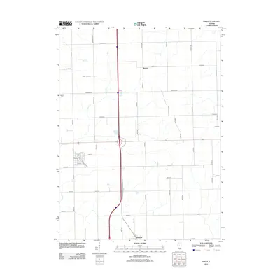
 2015 Emden2015 Print · USGSCovers Hartsburg, including Emden, Boynton, and other nearby areas
 - 2015 Map of Lincoln West, 2015 Print
 2015 Lincoln West2015 Print · USGSCovers Hartsburg, including Lincoln, Bell, and other nearby areas
 - 2018 Map of Emden, 2018 Print
 2018 Emden2018 Print · USGSCovers Hartsburg, including Emden, Boynton, and other nearby areas
 - 2018 Map of Lincoln West, 2018 Print
 2018 Lincoln West2018 Print · USGSCovers Hartsburg, including Lincoln, Bell, and other nearby areas
 - 2021 Map of Emden, 2021 Print
 2021 Emden2021 Print · USGSCovers Hartsburg, including Emden, Boynton, and other nearby areas
 - 2021 Map of Lincoln West, 2021 Print
 2021 Lincoln West2021 Print · USGSCovers Hartsburg, including Lincoln, Bell, and other nearby areas
 - 2024 Map of Emden, 2024 Print
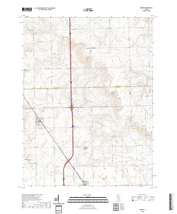 2024 Emden2024 Print · USGSThe Logan and Tazewell county line area comes into focus in this contemporary study of the Illinois prairie. Genealogists and local historians can trace the rural landscape surrounding Emden, Hartsburg, and the long-established Patterson Cem.
 - 2024 Map of Lincoln West, 2024 Print
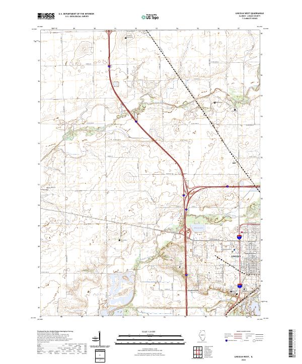 2024 Lincoln West2024 Print · USGSLogan County during the mid-2020s shows the persistent agricultural character of Central Illinois alongside its growing transit corridors. Researchers can trace local lineage through numerous rural burial sites like Rimerman Cem and Musick Cem near Sugar Creek.
End of results
Showing maps 1-23 of 23
Top cities near Hartsburg
- Lincoln historical maps
- Delavan historical maps
- Atlanta historical maps
- Minier historical maps
- Hopedale historical maps
- Green Valley historical maps
See more
Frequently asked questions
- What are the different types of historical maps available for Hartsburg?
- What is the oldest map of Hartsburg?
- Where can I purchase historical maps of Hartsburg for my home or office?
- Where can I download high-res historical maps of Hartsburg?
- Are there historical topographic maps available for Hartsburg?
- Is there historical aerial imagery available for Hartsburg?
- Where are historical maps of Hartsburg sourced from?