2020s Maps of Toluca, Illinois
Explore 8 historic maps of Toluca from the 2020s. These maps offer a rare glimpse into what life looked like during the 2020s — showing old roads, neighborhoods, homes, and landmarks that have changed or disappeared over time.
Whether you're researching your family's past, planning a metal detecting trip, or studying how Toluca's landscape evolved across the 2020s, these high-resolution maps are a powerful tool for exploring the history of this region.
- Focus on a specific era: All maps on this page are from the 2020s, giving you a focused view of this time period.
- See what’s changed: Compare century-old streets, trails, and buildings to today's modern landscape using overlays and satellite layers.
- Research with precision: Use these maps for genealogy, historical research, land use analysis, or educational projects.
- View, download, or print: Maps are fully viewable online in high resolution, and can be downloaded or printed for your own records.
Start exploring Toluca's history through authentic maps from the 2020s. This is your window into the past.
Toluca, IL maps
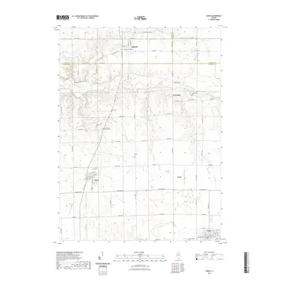
(8)- 2021 Map of La Rose, 2021 Print
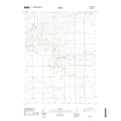 2021 La Rose2021 Print · USGSCovers Toluca, including La Rose, Pattonsburg, and other nearby areas
 - 2021 Map of Minonk, 2021 Print
 2021 Minonk2021 Print · USGSCovers Toluca, including Minonk, Rutland, and other nearby areas
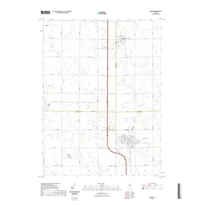
 - 2021 Map of Wenona, 2021 Print
 2021 Wenona2021 Print · USGSCovers Toluca, including Evans, Lostant, and other nearby areas
 - 2021 Map of Varna, 2021 Print
 2021 Varna2021 Print · USGSCovers Toluca, including Varna, Magnolia, and other nearby areas
 - 2024 Map of Varna, 2024 Print
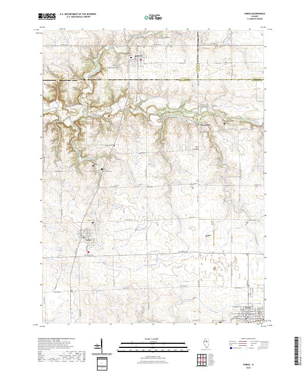 2024 Varna2024 Print · USGSVarna and Magnolia sit at the intersection of three counties in this recent survey of the Illinois prairie. Genealogists can trace family roots through numerous burial sites like Salem Cem and Cumberland Cem or follow the path of Old Stagecoach Rd.
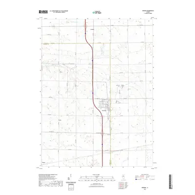
 - 2024 Map of Wenona, 2024 Print
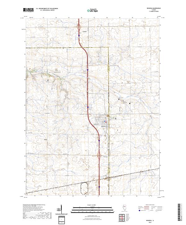 2024 Wenona2024 Print · USGSWenona and Lostant anchor this Illinois prairie landscape during the twenty-first century, where the county line divides the farmland. Genealogists can trace local legacies through Wenona Community Cem, Saint Marys Cem, and Bethany Cem.
 - 2024 Map of La Rose, 2024 Print
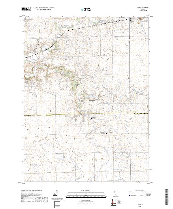 2024 La Rose2024 Print · USGSThe Marshall and Woodford county line comes into focus in this recent survey of the Illinois prairie. Researchers can trace local history through a high density of rural burial grounds, including Bell Plain Baptist Cem, Hollenback Cem, and Saint Johns Cem near Toluca.
 - 2024 Map of Minonk, 2024 Print
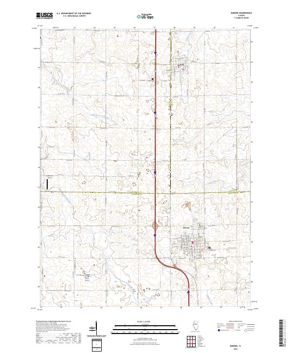 2024 Minonk2024 Print · USGSThe Illinois prairie around Minonk and Rutland is captured here in the contemporary era, showcasing the intersection of Marshall, LaSalle, and Woodford counties. Researchers can trace local lineage at Saint Patrick Cem or locate rural landmarks like Hattan Farms Airport.
End of results
Showing maps 1-8 of 8
Top cities near Toluca
- Metamora historical maps
- Henry historical maps
- Minonk historical maps
- Roanoke historical maps
- Cazenovia historical maps
- Evans historical maps
See more
Frequently asked questions
- What are the different types of historical maps available for Toluca?
- What is the oldest map of Toluca?
- Where can I purchase historical maps of Toluca for my home or office?
- Where can I download high-res historical maps of Toluca?
- Are there historical topographic maps available for Toluca?
- Is there historical aerial imagery available for Toluca?
- Where are historical maps of Toluca sourced from?