Old Maps of Varna, Illinois for Hiking & Exploration
Hike through history with 11 historic maps of Varna. Explore old trails, ghost towns, and forgotten backroads — perfect for outdoor adventurers and local explorers.
- Rediscover forgotten places: Map out old mining camps, roads, and footpaths that no longer exist on modern maps.
- Layer with modern tools: Combine with LiDAR or satellite views to plan hikes through historical terrain.
- Made for exploration: Popular among hikers, overlanders, and local history lovers.
Use these maps to find adventure and explore the hidden past of Varna.
Varna, IL maps
(11)- 1934 Map of Wenona
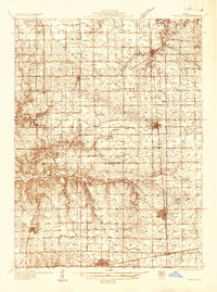 1934 Wenona1934 Print · USGSThe crossroads of Marshall, Putnam, and La Salle counties are captured here in the mid-1930s, revealing a landscape defined by railroad junctions and rural school districts. Genealogists can locate family-named landmarks like Hullinger Sch and Beckwith Sch, or trace the tracks of the Illinois Central through Wenona.2 unique versions available
 - 1939 Map of Wenona
 1939 Wenona1939 Print · USGSNorth-central Illinois agricultural and rail hubs are captured here in the late 1930s as steam-era infrastructure reached its peak. Researchers can locate dozens of country schools and trace the tracks of the Illinois Central through Wenona and Tonica.2 unique versions available
 - 1958 Map of Aurora, 1969 Print
 1958 Aurora1969 Print · USGSNorthern Illinois in the late fifties shows a landscape of powerful river industry and expanding transport corridors. Genealogists and historians can trace the development of Aurora and Joliet or locate sites like the Elwood Ordnance Plant and Starved Rock.3 unique versions available
 - 1961 Map of Aurora
 1961 Aurora1961 Print · USGSNorthern Illinois at the height of the post-war era reveals a landscape of massive industrial works and thriving river towns. Genealogists and historians can trace the paths of the Lincoln Highway or locate long-standing landmarks like the Green River Ordnance Plant and Starved Rock State Park.
 - 1983 Map of Varna, 1984 Print
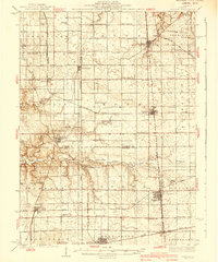
 1983 Varna1984 Print · USGSThe northern Illinois prairie towns of Varna and Magnolia are captured here in the early eighties as the regional rail network gave way to new transport. Genealogists can trace family footprints across Statler Cem, Antioch Cem, and the Old Railroad Grade.
 - 1985 Map of Kewanee
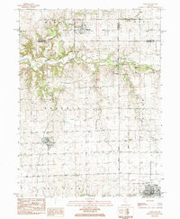
 1985 Kewanee1985 Print · USGSNorth-central Illinois in the mid-eighties shows a landscape of river-valley industry and prairie transit. Researchers can trace family roots through Evergreen Memory Garden or follow the historic Hennepin Canal past Tiskilwa and Wyanet.2 unique versions available
 - 2012 Map of Varna, 2012 Print
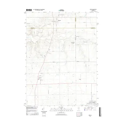
 2012 Varna2012 Print · USGSCovers Varna, including Toluca, Magnolia, and other nearby areas
 - 2015 Map of Varna, 2015 Print
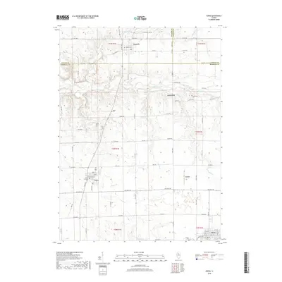
 2015 Varna2015 Print · USGSCovers Varna, including Toluca, Magnolia, and other nearby areas
 - 2018 Map of Varna, 2018 Print
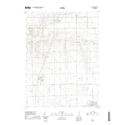
 2018 Varna2018 Print · USGSCovers Varna, including Toluca, Magnolia, and other nearby areas
 - 2021 Map of Varna, 2021 Print
 2021 Varna2021 Print · USGSCovers Varna, including Toluca, Magnolia, and other nearby areas
 - 2024 Map of Varna, 2024 Print
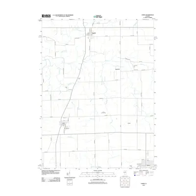
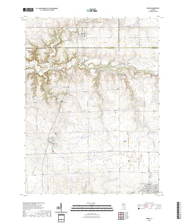 2024 Varna2024 Print · USGSVarna and Magnolia sit at the intersection of three counties in this recent survey of the Illinois prairie. Genealogists can trace family roots through numerous burial sites like Salem Cem and Cumberland Cem or follow the path of Old Stagecoach Rd.
End of results
Showing maps 1-11 of 11
Top cities near Varna
- Metamora historical maps
- Henry historical maps
- Minonk historical maps
- Lacon historical maps
- Cazenovia historical maps
- Granville historical maps
See more
Frequently asked questions
- What are the different types of historical maps available for Varna?
- What is the oldest map of Varna?
- Where can I purchase historical maps of Varna for my home or office?
- Where can I download high-res historical maps of Varna?
- Are there historical topographic maps available for Varna?
- Is there historical aerial imagery available for Varna?
- Where are historical maps of Varna sourced from?