Old Maps of Brookport, Illinois for Genealogy
Trace your family roots with 44 historic maps of Brookport. These high-res maps reveal old neighborhoods, homesites, landmarks, and streets — helping you uncover where your ancestors lived and how the area evolved over time.
- Explore historic neighborhoods: Identify where your relatives may have lived in the 1800s or 1900s.
- Compare maps over time: Trace the changes in streets, buildings, and landmarks for multi-generational research.
- Perfect for genealogy & ancestry research: Used by family historians and researchers to map out lineage and migration.
These maps are an incredible resource for exploring your personal connection to Brookport's past.
Brookport, IL maps
(44)- 1926 Map of Paducah, 1967 Print
 1926 Paducah1967 Print · USGSThe riverfront cities of Paducah and Metropolis are shown at the height of the steam-and-rail era before the major mid-century dam projects. Genealogists can trace family names through dozens of rural landmarks like Weyer Cemetery, Hamilton Chapel, and the Little Union Sch.
 - 1929 Map of Paducah
 1929 Paducah1929 Print · USGSThe confluence of the Ohio and Tennessee Rivers comes alive in the late twenties as a bustling hub of river and rail transport. Genealogists and historians can trace family roots through numerous local landmarks like West Paducah PO, Veyer Cemetery, and the County Sanitarium.4 unique versions available
 - 1936 Map of Paducah
 1936 Paducah1936 Print · USGSPaducah thrived as a vital river and rail hub during the mid-thirties, situated at the confluence of the Ohio and Tennessee. Genealogists and historians can trace neighborhood growth through local schools like Hamilton Sch and family-named landmarks such as Nortons Bluff and Stiles Crossing.
 - 1940 Map of Paducah, 1958 Print
 1940 Paducah1958 Print · USGSAcross the river from Illinois at the start of the 1940s, this area captures Paducah and Metropolis at a peak of rail and river activity. Researchers can trace the Illinois Central RR lines, locate family markers at Veyer Cemetery, and find rural landmarks like Klondike Sch and Palestine Ch.
 - 1949 Map of Paducah
 1949 Paducah1949 Print · USGSThe confluence of the Ohio, Mississippi, Tennessee, and Cumberland rivers at the close of the 1940s reveals a region bound by water and rail. Researchers can trace historic river landings, timberlands in the Shawnee National Forest, and the coal-mining infrastructure around West Frankfort and Herrin.2 unique versions available
 - 1950 Map of Paducah
 1950 Paducah1950 Print · USGSThe confluence of the great midwestern rivers defines this mid-century landscape at the intersection of Illinois, Kentucky, and Missouri. Genealogists and historians can trace the rail-and-river economy through the hubs of Paducah, Cairo, and Metropolis or locate family roots near the Wildcat Hills.
 - 1953 Map of Paducah East, 1956 Print
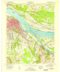 1953 Paducah East1956 Print · USGSPaducah thrived at the strategic meeting of the Ohio and Tennessee Rivers during the early fifties, serving as a bustling railway and maritime center. Researchers can trace the mid-century city grid and outlying landmarks like Augusta Tilghman High School, Owens Island, and the sprawling Illinois Central Railroad yards.
 - 1954 Map of Paducah
 1954 Paducah1954 Print · USGSSouthern Illinois and Western Kentucky intersect at the great river confluences during this mid-century era of rail and river industry. Genealogists and historians can trace family roots and commerce through river towns like Cairo, Metropolis, and Golconda, or along the tracks of the Illinois Central Railroad.2 unique versions available
 - 1954 Map of Metropolis, 1955 Print
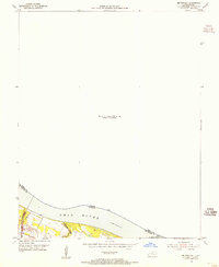 1954 Metropolis1955 Print · USGSThe Ohio River borderland comes into focus in the mid-1950s, highlighting the essential river-and-rail infrastructure of the era. Researchers can trace the path of the Illinois Central Railroad and locate the historic Lock and Dam No 52 near Massac Creek.
 - 1954 Map of Paducah West, 1955 Print
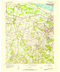 1954 Paducah West1955 Print · USGSWestern McCracken County during the mid-fifties shows the city of Paducah expanding into the surrounding countryside. Genealogists can locate family sites at the Mount Kenton Cemetery, Massac Cem, and the Palestine Ch.
 - 1958 Map of Paducah West, 1959 Print
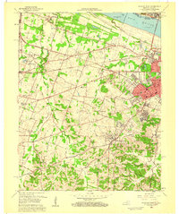 1958 Paducah West1959 Print · USGSWestern Kentucky’s riverfront and growing suburbs are documented here in the late fifties as the regional economy transitioned. Researchers can trace the development of Lone Oak and Rowlandtown or locate rural sites like Massac Cem and Palestine Ch.2 unique versions available
 - 1958 Map of Paducah East, 1959 Print
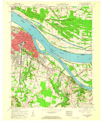 1958 Paducah East1959 Print · USGSThe riverport of Paducah is seen in the late fifties at its bustling confluence with the Tennessee River. Genealogists and local historians can trace the development of Littleville, locate family plots at Allard Cem, or find old school sites like Whittier Sch.3 unique versions available
 - 1961 Map of Paducah
 1961 Paducah1961 Print · USGSThe Lower Ohio Valley at mid-century is a landscape defined by its great rivers and newly formed reservoirs. Researchers can trace the riverfronts of Paducah and Metropolis, or locate smaller settlements like Old Shawneetown and Cave in Rock along the banks.2 unique versions available
 - 1964 Map of Paducah
 1964 Paducah1964 Print · USGSThe river-and-rail corridor of Southern Illinois and Western Kentucky is captured here during the height of the mid-century industrial era. Genealogists and researchers can trace local landmarks across several counties, from the rail yards of Paducah to the waters of Crab Orchard Lake and Kentucky Reservoir.2 unique versions available
 - 1967 Map of Paducah NE, 1968 Print
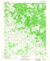 1967 Paducah NE1968 Print · USGSMassac County and the southern reaches of the Shawnee National Forest are shown here in the late sixties, where the hills drop toward the Ohio River. Genealogists can trace family connections through over a dozen rural burial sites, including McCormick Cem, Pell Cem, and congregations like Waldo Ch.2 unique versions available
 - 1967 Map of Metropolis, 1968 Print
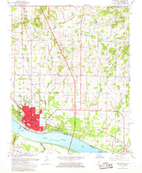 1967 Metropolis1968 Print · USGSMetropolis and the Ohio River shoreline are shown in detail during the late 1960s as industrial and civic infrastructure expanded. Researchers can trace family roots through numerous rural sites like Upper Salem Ch, Bumgardner Cem, and Lincoln Sch.
 - 1982 Map of Paducah West, 1983 Print
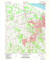 1982 Paducah West1983 Print · USGSMcCracken County in the early eighties shows the suburban growth of Paducah along the Ohio River. Researchers can trace old family sites at Highland Cem and Mount Kenton Cemetery or locate the West Paducah rail stop.
 - 1982 Map of Paducah East, 1983 Print
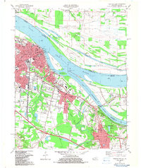 1982 Paducah East1983 Print · USGSWestern Kentucky's riverfront culture and rail industry are on full display in this early 1980s survey of the river confluence. Researchers can trace historic family plots and community centers like Herzog Cem, Rocky Ford Ch, and the Whiteside Sch.
 - 1982 Map of Metropolis, 1983 Print
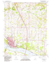 1982 Metropolis1983 Print · USGSMetropolis and the Ohio River shoreline are captured here in the early eighties, showing the city's growth alongside historic riverfront landmarks. Researchers can trace family plots at Odd Fellows Cem or explore the grounds of Fort Massac State Park and Lock and Dam No 52.2 unique versions available
 - 1984 Map of Paducah, 1986 Print
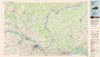 1984 Paducah1986 Print · USGSThe river-driven economy of western Kentucky and southern Illinois is captured here in the mid-eighties, showing the massive impact of the Kentucky Lake and Lake Barkley reservoirs. Genealogists and historians can trace rail lines like the Illinois Central Gulf RR and explore sites from Fort Massac State Park to the Kentucky State Penitentiary.
 - 1986 Map of Paducah, 1987 Print
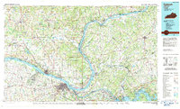 1986 Paducah1987 Print · USGSThe tri-river confluence of the Ohio, Tennessee, and Cumberland rivers is captured here in the mid-1980s during a period of established river power and industry. Researchers can trace local heritage through landmarks like Friendship Church, the Smithland Locks and Dam, and the Illinois Central Gulf RR.
 - 1987 Map of Paducah, 1988 Print
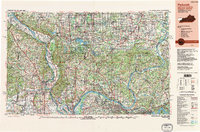 1987 Paducah1988 Print · USGSThe Lower Ohio Valley and the Illinois Ozarks come alive in this late twentieth-century regional survey. Genealogists and local historians can trace river-town roots and state park landmarks from Metropolis to Cape Girardeau and Trail of Tears State Park.
 - 1996 Map of Metropolis, 1998 Print
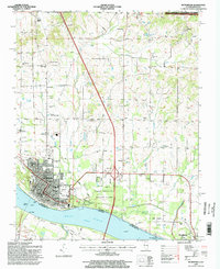 1996 Metropolis1998 Print · USGSThe Ohio River waterfront at Metropolis in the late nineties showcases a blend of civic infrastructure and protected public lands. Local historians can trace family roots through numerous sites like Odd Fellows Cem, Upper Salem Ch, and Fort Massac State Park.
 - 1996 Map of Paducah NE, 1998 Print
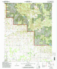 1996 Paducah NE1998 Print · USGSMassac County and the Shawnee National Forest appear here in the mid-1990s, just as modern imagery updated the record of this rural landscape. Genealogists and local historians can locate dozens of small landmarks, from Unity Sch and Mt Sterling Ch to family burial sites like Golightly Cem and Pell Cem.2 unique versions available
 - 2010 Map of Paducah East, 2010 Print
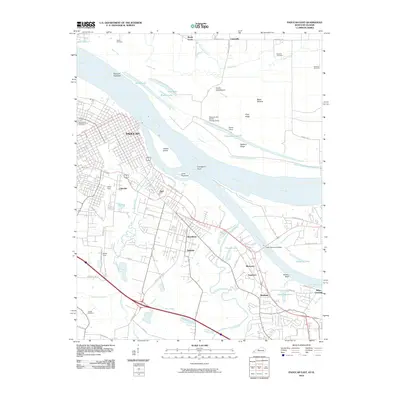 2010 Paducah East2010 Print · USGSPaducah sits at the historic confluence of the Ohio and Tennessee Rivers in this 2010 survey of the region's industrial and residential growth. Genealogists and local historians can trace family sites at Maplelawn Cemetery or explore the rail hubs of the North Yard and South Yard.
Showing maps 1-25 of 44
Top cities near Brookport
- Paducah historical maps
- Metropolis historical maps
- Reidland historical maps
- Calvert City historical maps
- Golconda historical maps
- Lone Oak historical maps
See more
Frequently asked questions
- What are the different types of historical maps available for Brookport?
- What is the oldest map of Brookport?
- Where can I purchase historical maps of Brookport for my home or office?
- Where can I download high-res historical maps of Brookport?
- Are there historical topographic maps available for Brookport?
- Is there historical aerial imagery available for Brookport?
- Where are historical maps of Brookport sourced from?