Old Maps of McDonough County, Illinois for Genealogy
Trace your family roots with 146 historic maps of McDonough County. These high-res maps reveal old neighborhoods, homesites, landmarks, and streets — helping you uncover where your ancestors lived and how the area evolved over time.
- Explore historic neighborhoods: Identify where your relatives may have lived in the 1800s or 1900s.
- Compare maps over time: Trace the changes in streets, buildings, and landmarks for multi-generational research.
- Perfect for genealogy & ancestry research: Used by family historians and researchers to map out lineage and migration.
These maps are an incredible resource for exploring your personal connection to McDonough County's past.
McDonough County, IL maps
(146)- 1912 Map of Macomb, 1966 Print
 1912 Macomb1966 Print · USGSMcDonough County during the early twentieth century shows a landscape of scattered farmsteads and one-room schoolhouses. Genealogists can trace family landmarks like Runkle School and Pennington Point or follow the path of the Waubonsie Trail.
 - 1913 Map of Colchester
 1913 Colchester1913 Print · USGSWestern Illinois at the start of the twentieth century was a landscape of dense rural school districts and prairie rail towns. Trace the early footprints of Colchester and Tennessee, or locate forgotten sites like Vishnu Sprs and the Clay Mine.3 unique versions available
 - 1914 Map of Macomb
 1914 Macomb1914 Print · USGSWestern Illinois before the Great War is captured here through its dense network of rural school districts and burgeoning rail lines. Genealogists can locate specific family landmarks such as Pennington Point, the Town Hall, and the path of the historic Waubonsie Trail.4 unique versions available
 - 1915 Map of Avon
 1915 Avon1915 Print · USGSWestern Illinois farm country and the Spoon River valley are shown here in the early twentieth century. Family history researchers can trace the locations of dozens of vanished rural schoolhouses like Oldtown School and Gross School, along with the small settlement of Check Row.3 unique versions available
 - 1916 Map of Good Hope, 1965 Print
 1916 Good Hope1965 Print · USGSWestern Illinois prairie life is frozen in time during the First World War era as small farming communities began to peak. Genealogists can locate family-named landmarks like Stem School or Mud College and trace the original Chicago Burlington and Quincy rail line.2 unique versions available
 - 1918 Map of Vermont
 1918 Vermont1918 Print · USGSThe rural prairie of McDonough and Fulton counties is captured here just after the Great War, during the height of the railroad era. Genealogists can locate specific homestead sites near New Philadelphia or trace the many rural schoolhouses like Mud Acre School and Harvey School.2 unique versions available
 - 1918 Map of La Harpe
 1918 La Harpe1918 Print · USGSWestern Illinois farm life in the late teens is captured here through a remarkably dense grid of rural schools and rail-fed townships. Genealogists can trace family footprints across dozens of local districts like Sunny Ridge School and Waggy School or along the Santa Fe line.4 unique versions available
 - 1918 Map of Good Hope
 1918 Good Hope1918 Print · USGSCentral Illinois prairie and growing rail towns are captured here at the end of the Great War. Genealogists can locate family homesteads near dozens of country schools like Mud College and rural hubs such as Good Hope and Sciota.2 unique versions available
 - 1921 Map of Vermont
 1921 Vermont1921 Print · USGSWestern Illinois prairie and river breaks are documented here just after the Great War, showing a landscape defined by small family farms. Researchers can trace rural school districts and pioneer churches like Mud Acre School, Mt Pleasant Church, and the settlement at Bernadotte.2 unique versions available
 - 1944 Map of Avon, 1962 Print
 1944 Avon1962 Print · USGSThe Illinois prairie landscape between Bushnell and London Mills is shown here as it appeared in the mid-forties. Genealogists can trace family footprints across dozens of country school sites like Oldtown School and small junctions including Blyton and Babylon.
 - 1947 Map of Vermont, 1979 Print
 1947 Vermont1979 Print · USGSIn the mid-century period, the area around Vermont and Table Grove was shaped by military activity and mining. Local historians can locate the Camp Ellis Military Reservation and historic schoolhouses like Harvey Sch and Cox Sch.
 - 1947 Map of Adair, 1981 Print
 1947 Adair1981 Print · USGSMcDonough and Fulton counties appear here just after the war, showing a dense landscape of small-town rail stops and one-room schoolhouses. Genealogists can locate family landmarks like Rich Sch, Temple Cem, and the village of New Philadelphia.
 - 1948 Map of Adair
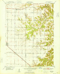 1948 Adair1948 Print · USGSThe McDonough and Fulton County line in the late 1940s shows a landscape of rural schoolhouses and the sprawling Camp Ellis Military Reservation. Researchers can trace the rail-side growth of Adair or locate family landmarks like Temple Cem and Point Pleasant Ch.
 - 1948 Map of Vermont
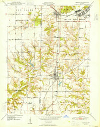 1948 Vermont1948 Print · USGSWestern Illinois was transitioning into the post-war era when this survey recorded the massive Camp Ellis Military Reservation alongside established farming townships. Genealogists can locate family-named landmarks like Easley Cem and Mud Acre Sch.2 unique versions available
 - 1949 Map of Vermont
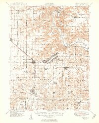 1949 Vermont1949 Print · USGSFulton County and the surrounding tri-county area appear here shortly after the war, centered on the massive Camp Ellis Military Reservation. Researchers can trace the vanished barracks and rail spurs of the camp alongside rural landmarks like the Little Brick School and Bernadotte Bridge.2 unique versions available
 - 1958 Map of Burlington, 1968 Print
 1958 Burlington1968 Print · USGSThe tri-state river country of Iowa, Illinois, and Missouri is captured here in the mid-fifties, dominated by the Mississippi River and major rail lines. Genealogists and historians can trace the development of river towns like Keokuk or locate the sprawling Iowa Army Ammunition Plant.4 unique versions available
 - 1961 Map of Burlington
 1961 Burlington1961 Print · USGSThe tri-state borderlands along the Mississippi River are captured here during the late fifties and early sixties, showing the vital river-and-rail economy of Iowa, Illinois, and Missouri. Genealogists and historians can trace the development of major hubs like Galesburg and Macomb alongside landmark sites such as the Iowa Ordnance Plant and the historic river town of Nauvoo.
 - 1963 Map of Burlington
 1963 Burlington1963 Print · USGSThe tri-state river country of the Mississippi and Illinois valleys comes alive in this mid-century survey. Genealogists and historians can trace the industrial and academic growth of the region, from the Iowa Ordnance Plant to campuses like Knox College and Western Illinois University.
 - 1974 Map of Doddsville, 1977 Print
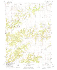 1974 Doddsville1977 Print · USGSThe McDonough and Schuyler County line in the mid-1970s is a landscape of winding creek valleys and high ridges. Researchers can trace local history through numerous burial sites like Stoneking Cem and Pennington Cem or locate the Strip Mine near Grindstone Creek.
 - 1974 Map of Bardolph, 1977 Print
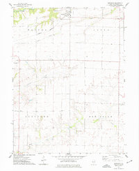 1974 Bardolph1977 Print · USGSBardolph and the surrounding McDonough County countryside are captured here in the mid-1970s, showing a landscape defined by prairie agriculture and rail transit. Researchers can locate community anchors like Camp Creek Ch, the Mound Cem, and the historic settlement at Pennington Point.
 - 1974 Map of Industry, 1977 Print
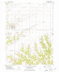 1974 Industry1977 Print · USGSMcDonough and Schuyler Counties in the mid-seventies show a landscape of traditional township farming and rural church life. Genealogists can trace family names through sites like Peck Cem, Standard Cem, and the West Prairie Ch.
 - 1974 Map of Macomb, 1977 Print
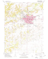 1974 Macomb1977 Print · USGSMacomb and its surrounding townships thrive in the mid-1970s as a major educational and rail hub. Genealogists can trace family names through Oakwood Cem and Wayland Cem, or locate historic schools like Woodrow Wilson Sch and Lincoln Sch.3 unique versions available
 - 1974 Map of Fountain Green, 1978 Print
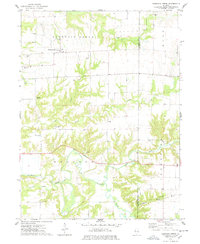 1974 Fountain Green1978 Print · USGSHancock and McDonough Counties are shown in the mid-1970s, a landscape where rural township life centers on small crossroads and winding creek systems. Genealogists can locate several family burial grounds like Lincoln Cem and Yetter Cem, alongside landmarks like Majorville Ch.
 - 1974 Map of Stronghurst, 1978 Print
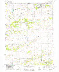 1974 Stronghurst1978 Print · USGSWestern Illinois farmland and the villages along the Santa Fe and Topeka Atchison railroad appear in this mid-seventies survey. Researchers can locate remote rural sites like the Old Bedford Ch, Smith Landing Strip, and Peasley Cem.
 - 1974 Map of Colchester, 1978 Print
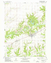 1974 Colchester1978 Print · USGSColchester and the surrounding prairie of McDonough County are captured in the mid-1970s, as the local economy balanced agriculture with riverfront industry. Trace family roots at Mt Auburn Cemetery or Lower Cem, and explore the land around Argyle Lake State Park and the Burlington Northern line.
Showing maps 1-25 of 146
Top cities of McDonough County
- Macomb historical maps
- Bushnell historical maps
- Colchester historical maps
- Blandinsville historical maps
- Industry historical maps
- Walnut Grove historical maps
See more
Frequently asked questions
- What are the different types of historical maps available for McDonough County?
- What is the oldest map of McDonough County?
- Where can I purchase historical maps of McDonough County for my home or office?
- Where can I download high-res historical maps of McDonough County?
- Are there historical topographic maps available for McDonough County?
- Is there historical aerial imagery available for McDonough County?
- Where are historical maps of McDonough County sourced from?