2020s Maps of McDonough County, Illinois
Explore 40 historic maps of McDonough County from the 2020s. These maps offer a rare glimpse into what life looked like during the 2020s — showing old roads, neighborhoods, homes, and landmarks that have changed or disappeared over time.
Whether you're researching your family's past, planning a metal detecting trip, or studying how McDonough County's landscape evolved across the 2020s, these high-resolution maps are a powerful tool for exploring the history of this region.
- Focus on a specific era: All maps on this page are from the 2020s, giving you a focused view of this time period.
- See what’s changed: Compare century-old streets, trails, and buildings to today's modern landscape using overlays and satellite layers.
- Research with precision: Use these maps for genealogy, historical research, land use analysis, or educational projects.
- View, download, or print: Maps are fully viewable online in high resolution, and can be downloaded or printed for your own records.
Start exploring McDonough County's history through authentic maps from the 2020s. This is your window into the past.
McDonough County, IL maps
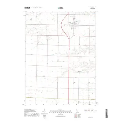
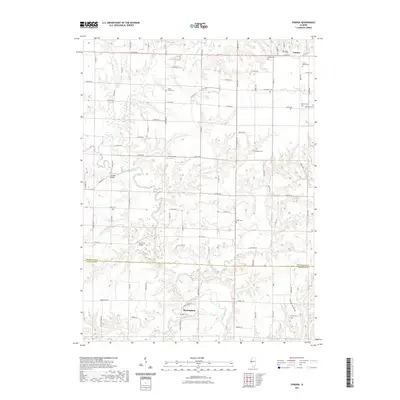
(40)- 2021 Map of Plymouth, 2021 Print
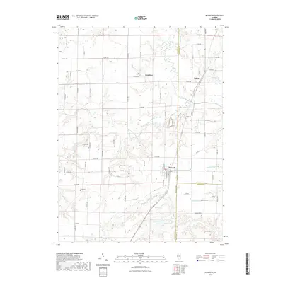 2021 Plymouth2021 Print · USGSCovers McDonough County, including Saint Mary, Plymouth, and other nearby areas
 - 2021 Map of Greenbush, 2021 Print
 2021 Greenbush2021 Print · USGSCovers McDonough County, including Greenbush, Youngstown, and other nearby areas
 - 2021 Map of La Harpe, 2021 Print
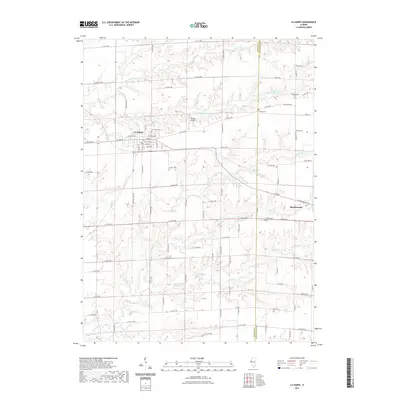 2021 La Harpe2021 Print · USGSCovers McDonough County, including La Harpe, Blandinsville, and other nearby areas
 - 2021 Map of Avon, 2021 Print
 2021 Avon2021 Print · USGSCovers McDonough County, including Avon, Prairie City, and other nearby areas
 - 2021 Map of Roseville, 2021 Print
 2021 Roseville2021 Print · USGSCovers McDonough County, including Roseville, Swan Creek, and other nearby areas
 - 2021 Map of Good Hope, 2021 Print
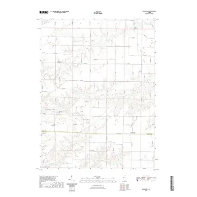
 2021 Good Hope2021 Print · USGSCovers McDonough County, including Macomb, Good Hope, and other nearby areas
 - 2021 Map of Blandinsville, 2021 Print
 2021 Blandinsville2021 Print · USGSCovers McDonough County, including Macomb, Blandinsville, and other nearby areas
 - 2021 Map of Bushnell East, 2021 Print
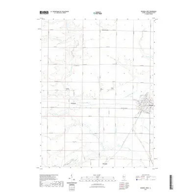
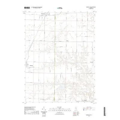 2021 Bushnell East2021 Print · USGSCovers McDonough County, including Bushnell, Prairie City, and other nearby areas
 - 2021 Map of Bardolph, 2021 Print
 2021 Bardolph2021 Print · USGSCovers McDonough County, including Macomb, Bardolph, and other nearby areas
 - 2021 Map of Stronghurst, 2021 Print
 2021 Stronghurst2021 Print · USGSCovers McDonough County, including Stronghurst, Terre Haute, and other nearby areas
 - 2021 Map of Raritan, 2021 Print
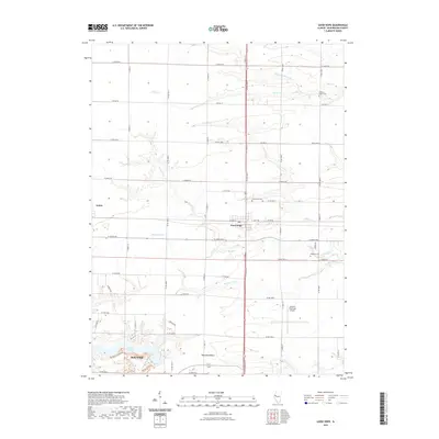
 2021 Raritan2021 Print · USGSCovers McDonough County, including Raritan, Warren County, and other nearby areas
 - 2021 Map of Fountain Green, 2021 Print
 2021 Fountain Green2021 Print · USGSCovers McDonough County, including Fountain Green, Joetta, and other nearby areas
 - 2021 Map of Bushnell West, 2021 Print
 2021 Bushnell West2021 Print · USGSCovers McDonough County, including Bushnell, Walnut Grove, and other nearby areas
 - 2021 Map of Colchester, 2021 Print
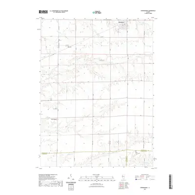
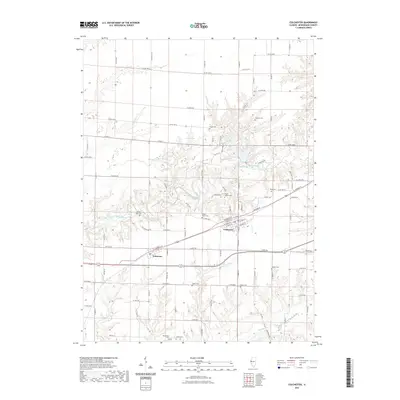 2021 Colchester2021 Print · USGSCovers McDonough County, including Colchester, Tennessee, and other nearby areas
 - 2021 Map of Doddsville, 2021 Print
 2021 Doddsville2021 Print · USGSCovers McDonough County, including Doddsville, Schuyler County, and other nearby areas
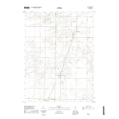
 - 2021 Map of Macomb, 2021 Print
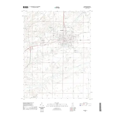 2021 Macomb2021 Print · USGSCovers McDonough County, including Macomb, Lamoine Village, and other nearby areas
 - 2021 Map of Fandon, 2021 Print
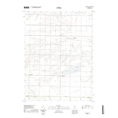
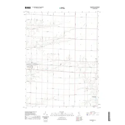
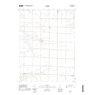
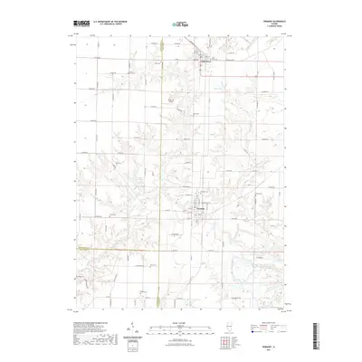
 2021 Fandon2021 Print · USGSCovers McDonough County, including Birmingham, Fandon, and other nearby areas
 - 2021 Map of Industry, 2021 Print
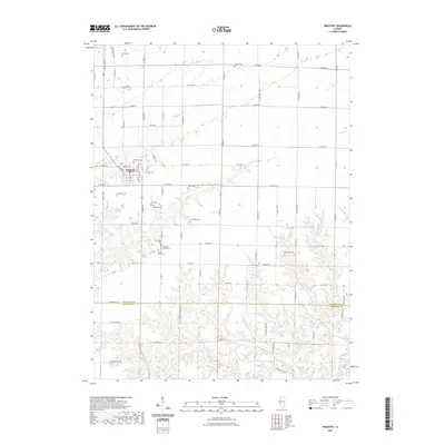 2021 Industry2021 Print · USGSCovers McDonough County, including Industry, Schuyler County, and other nearby areas
 - 2021 Map of Adair, 2021 Print
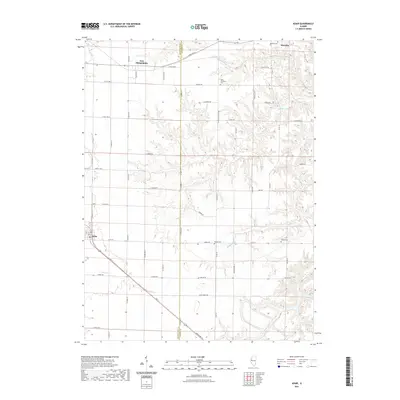 2021 Adair2021 Print · USGSCovers McDonough County, including Marietta, New Philadelphia, and other nearby areas
 - 2021 Map of Vermont, 2021 Print
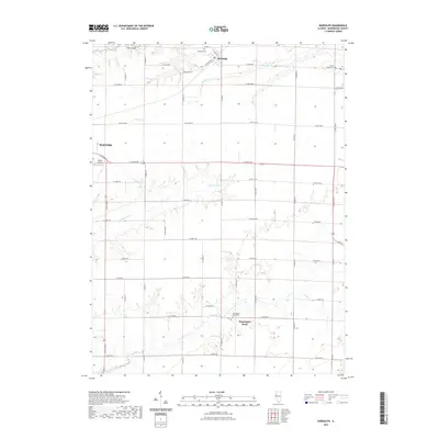
 2021 Vermont2021 Print · USGSCovers McDonough County, including Vermont, Table Grove, and other nearby areas
 - 2024 Map of Raritan, 2024 Print
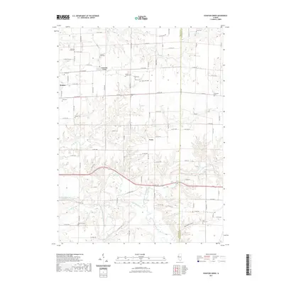
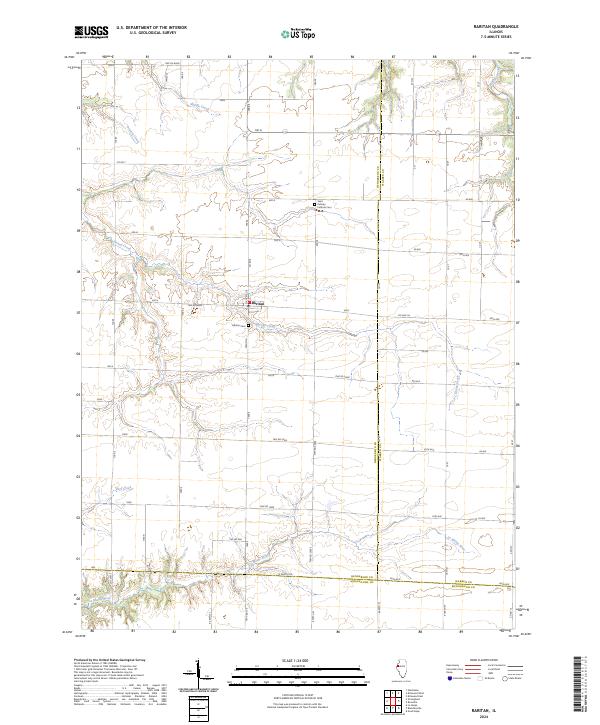 2024 Raritan2024 Print · USGSHenderson County's rural landscape is centered on the village of Raritan in this modern-era survey. Local historians can trace the paths of Honey Creek and the La Moine River alongside local landmarks like Saint Patricks Catholic Cem.
 - 2024 Map of Adair, 2024 Print
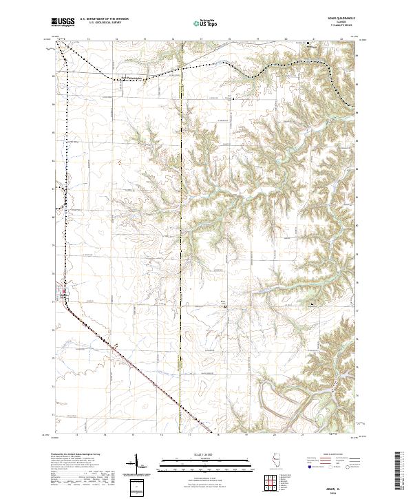 2024 Adair2024 Print · USGSThe border of McDonough and Fulton counties comes into focus in this contemporary survey of central Illinois. Genealogists and local historians can locate early burial grounds like Marietta Cem and Barker Cem near the communities of Adair and New Philadelphia.
 - 2024 Map of Bardolph, 2024 Print
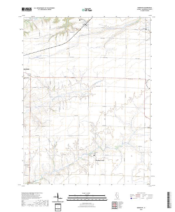 2024 Bardolph2024 Print · USGSMcDonough County’s agricultural heartland is documented here in the early twenty-first century, showing the village of Bardolph and the rural reaches of Macomb. Trace family sites at Bardolph Cem or Pennington Point Cem and follow the paths of Troublesome Creek and Kepple Creek.
 - 2024 Map of Bushnell West, 2024 Print
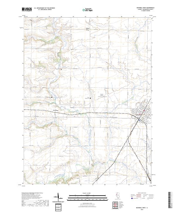 2024 Bushnell West2024 Print · USGSWestern McDonough County is captured here in the twenty-first century as the city of Bushnell extends into the prairie. Researchers can locate family sites at the Solon Robinson Cem or trace the winding waters of Drowning Fork and Short Fork.
 - 2024 Map of Fandon, 2024 Print
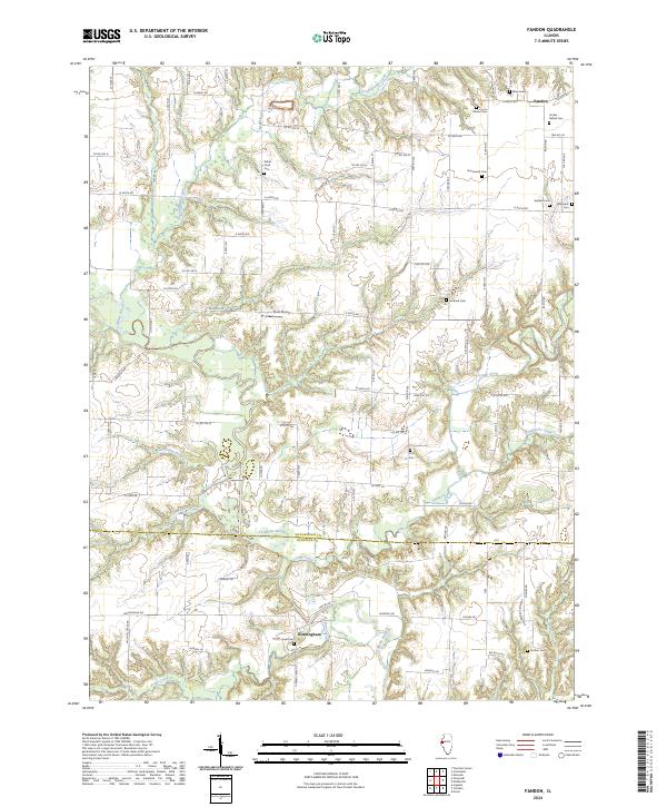 2024 Fandon2024 Print · USGSMcDonough and Schuyler counties meet along the wooded bends of the La Moine River in this modern survey of Illinois farmland. Genealogists and local historians can trace family ties through numerous small burial sites, including the Miler Grave, Sullivan Cem, and White Flock Cem.
Showing maps 1-25 of 40
Top cities of McDonough County
- Macomb historical maps
- Bushnell historical maps
- Colchester historical maps
- Blandinsville historical maps
- Industry historical maps
- Walnut Grove historical maps
See more
Frequently asked questions
- What are the different types of historical maps available for McDonough County?
- What is the oldest map of McDonough County?
- Where can I purchase historical maps of McDonough County for my home or office?
- Where can I download high-res historical maps of McDonough County?
- Are there historical topographic maps available for McDonough County?
- Is there historical aerial imagery available for McDonough County?
- Where are historical maps of McDonough County sourced from?