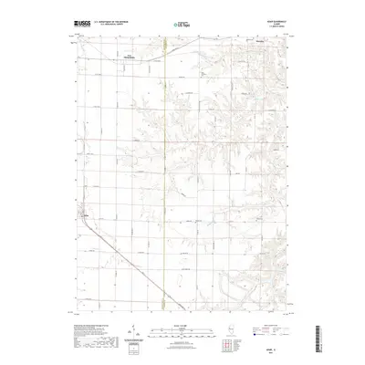
2021 Map of Adair
USGS Topo · Published 2021About this map
Adair and Marietta anchor this rural landscape along the boundary between McDonough and Fulton counties. The terrain is defined by a dense network of drainage systems, including the branching headwaters of Camp Cr and the winding course of Badger Cr. These waterways carve into the agricultural plateau, creating a distinct physical separation between upland farm plots and the deeper creek valleys. The settlement of New Philadelphia sits in the northern reaches, connected by a grid of rural routes such as Co Rd 1450 N.
Find a feature on this map
36 named features on this map. Tap any name to fly to it.
Don’t see what you’re looking for? This feature index may not catch every label — zoom into the map to look around manually.
Map Details
Editions of this 2021 Adair Map
This is the sole edition of this map. No revisions or reprints were ever made.
Other maps of this area

1912 · Macomb
USGS Topo · 1:62,500

1914 · Macomb
USGS Topo · 1:62,500

1915 · Avon
USGS Topo · 1:62,500

1916 · Good Hope
USGS Topo · 1:62,500

1918 · Vermont
USGS Topo · 1:62,500

1918 · Good Hope
USGS Topo · 1:62,500

1921 · Vermont
USGS Topo · 1:62,500

1944 · Avon
USGS Topo · 1:62,500

1947 · Vermont
USGS Topo · 1:24,000

1947 · Adair
USGS Topo · 1:24,000