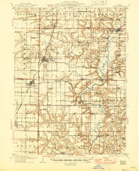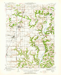
1944 Map of Avon
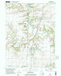
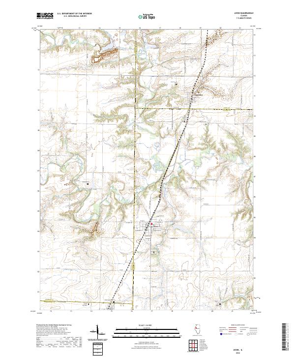
USGS Topo · Published 1962About this map
Avon and Prairie City anchor the northwestern Illinois prairie in this 1944 update of earlier twentieth-century surveys. The landscape is a study in early Midwestern rural infrastructure, defined by an incredibly dense network of one-room schoolhouses such as Oldtown School, Troy School, and Hazel Ridge School that served the farmstead families of the era. The Spoon River meanders through the eastern half, creating a corridor of more complex topography compared to the flat railroad-aligned towns.
Find a feature on this map
80 named features on this map. Tap any name to fly to it.
Don’t see what you’re looking for? This feature index may not catch every label — zoom into the map to look around manually.
Map Details
Editions of this 1944 Avon Map
This is the sole edition of this map. No revisions or reprints were ever made.
Historical Maps of Bushnell Through Time
9 maps found