2020s Maps of McLean County, Illinois
Explore 66 historic maps of McLean County from the 2020s. These maps offer a rare glimpse into what life looked like during the 2020s — showing old roads, neighborhoods, homes, and landmarks that have changed or disappeared over time.
Whether you're researching your family's past, planning a metal detecting trip, or studying how McLean County's landscape evolved across the 2020s, these high-resolution maps are a powerful tool for exploring the history of this region.
- Focus on a specific era: All maps on this page are from the 2020s, giving you a focused view of this time period.
- See what’s changed: Compare century-old streets, trails, and buildings to today's modern landscape using overlays and satellite layers.
- Research with precision: Use these maps for genealogy, historical research, land use analysis, or educational projects.
- View, download, or print: Maps are fully viewable online in high resolution, and can be downloaded or printed for your own records.
Start exploring McLean County's history through authentic maps from the 2020s. This is your window into the past.
McLean County, IL maps
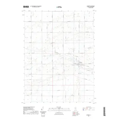
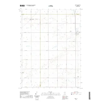
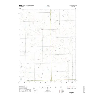
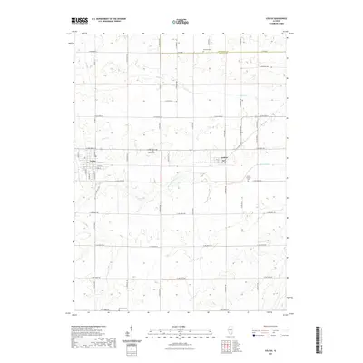
(66)- 2021 Map of Arrowsmith, 2021 Print
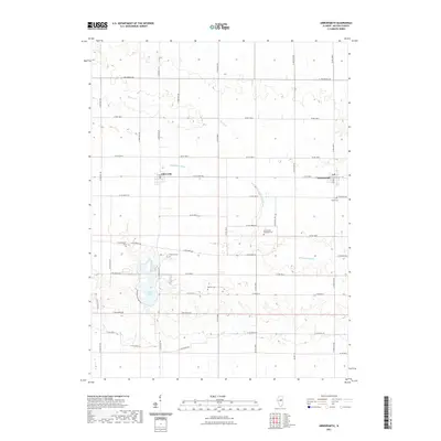 2021 Arrowsmith2021 Print · USGSCovers McLean County, including Arrowsmith, Ellsworth, and other nearby areas
 - 2021 Map of Le Roy, 2021 Print
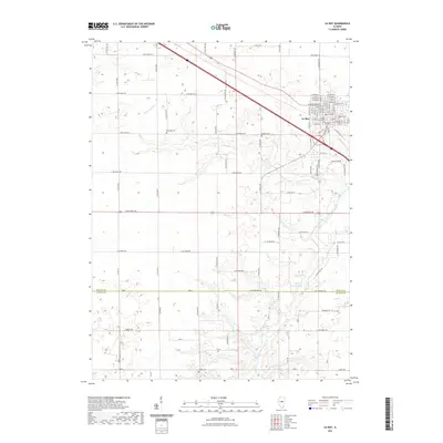 2021 Le Roy2021 Print · USGSCovers McLean County, including Le Roy, DeWitt County, and other nearby areas
 - 2021 Map of Chenoa, 2021 Print
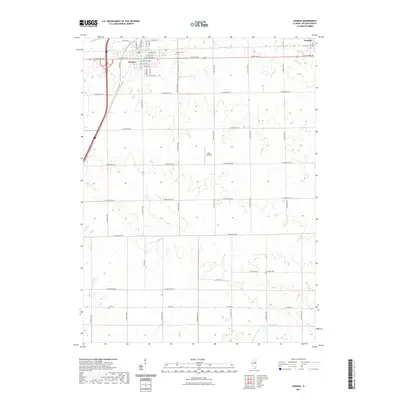 2021 Chenoa2021 Print · USGSCovers McLean County, including Chenoa, United States, and other nearby areas
 - 2021 Map of Cooksville, 2021 Print
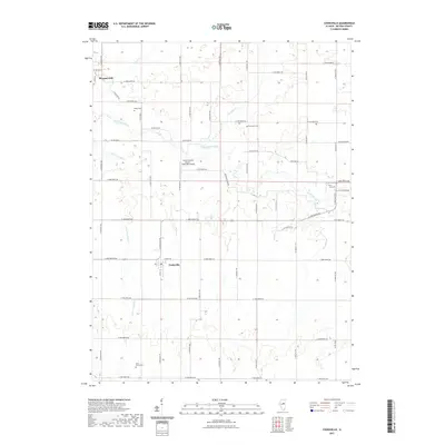 2021 Cooksville2021 Print · USGSCovers McLean County, including Colfax, Cooksville, and other nearby areas
 - 2021 Map of Gibson City West, 2021 Print
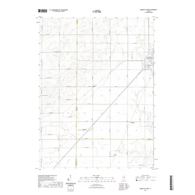 2021 Gibson City West2021 Print · USGSCovers McLean County, including Gibson City, Harpster, and other nearby areas
 - 2021 Map of Flanagan South, 2021 Print
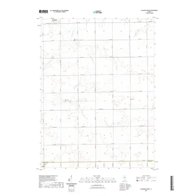 2021 Flanagan South2021 Print · USGSCovers McLean County, including Gridley, Flanagan, and other nearby areas
 - 2021 Map of Saybrook, 2021 Print
 2021 Saybrook2021 Print · USGSCovers McLean County, including Saybrook, United States, and other nearby areas
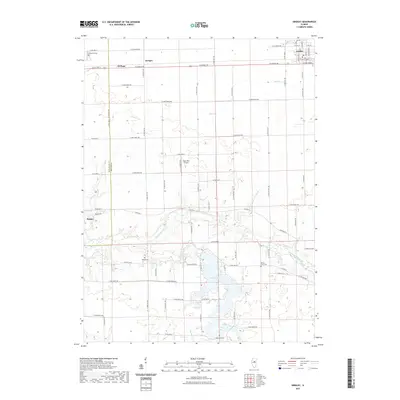
 - 2021 Map of Merna, 2021 Print
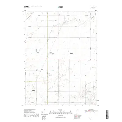
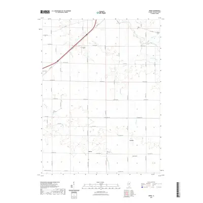 2021 Merna2021 Print · USGSCovers McLean County, including Merna, Fletcher, and other nearby areas
 - 2021 Map of Lexington, 2021 Print
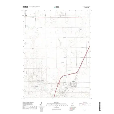 2021 Lexington2021 Print · USGSCovers McLean County, including Lexington, Chenoa, and other nearby areas
 - 2021 Map of Gridley, 2021 Print
 2021 Gridley2021 Print · USGSCovers McLean County, including El Paso, Gridley, and other nearby areas
 - 2021 Map of Sibley, 2021 Print
 2021 Sibley2021 Print · USGSCovers McLean County, including Sibley, Cropsey, and other nearby areas
 - 2021 Map of Holder, 2021 Print
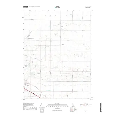 2021 Holder2021 Print · USGSCovers McLean County, including Bloomington, Downs, and other nearby areas
 - 2021 Map of Flanagan SW, 2021 Print
 2021 Flanagan SW2021 Print · USGSCovers McLean County, including Gridley, Woodford County, and other nearby areas
 - 2021 Map of Heyworth, 2021 Print
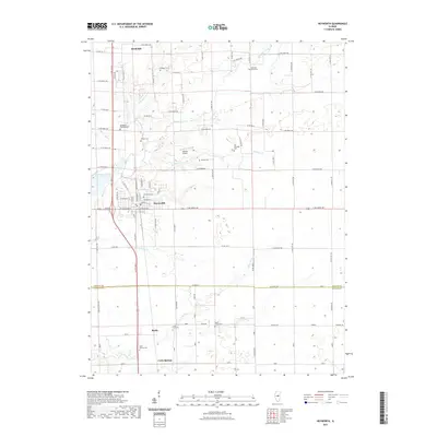 2021 Heyworth2021 Print · USGSCovers McLean County, including Heyworth, Bucks, and other nearby areas
 - 2021 Map of Fairbury, 2021 Print
 2021 Fairbury2021 Print · USGSCovers McLean County, including Fairbury, Weston, and other nearby areas
 - 2021 Map of Normal East, 2021 Print
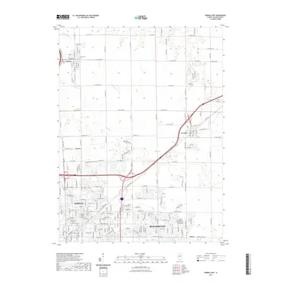 2021 Normal East2021 Print · USGSCovers McLean County, including Bloomington, Normal, and other nearby areas
 - 2021 Map of Bloomington East, 2021 Print
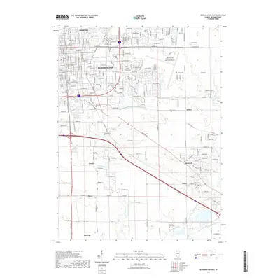 2021 Bloomington East2021 Print · USGSCovers McLean County, including Bloomington, Normal, and other nearby areas
 - 2021 Map of Foosland, 2021 Print
 2021 Foosland2021 Print · USGSCovers McLean County, including Foosland, Dickerson, and other nearby areas
 - 2021 Map of Southwest Pontiac, 2021 Print
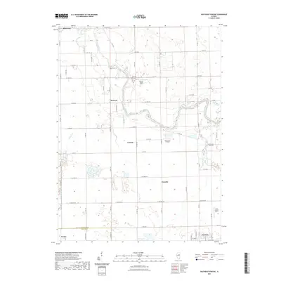
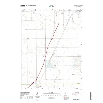 2021 Southwest Pontiac2021 Print · USGSCovers McLean County, including Pontiac, Chenoa, and other nearby areas
 - 2021 Map of Farmer City North, 2021 Print
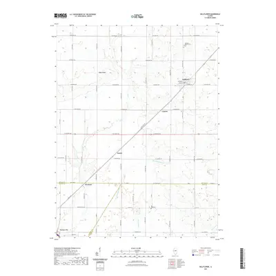
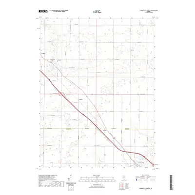 2021 Farmer City North2021 Print · USGSCovers McLean County, including Empire, Le Roy, and other nearby areas
 - 2021 Map of Bellflower, 2021 Print
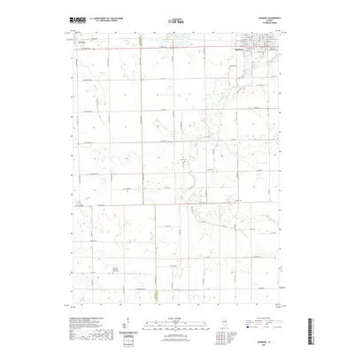
 2021 Bellflower2021 Print · USGSCovers McLean County, including Farmer City, Bellflower, and other nearby areas
 - 2021 Map of Southeast Pontiac, 2021 Print
 2021 Southeast Pontiac2021 Print · USGSCovers McLean County, including Pontiac, Fairbury, and other nearby areas
 - 2021 Map of Colfax, 2021 Print
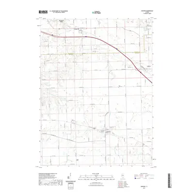
 2021 Colfax2021 Print · USGSCovers McLean County, including Colfax, Anchor, and other nearby areas
 - 2021 Map of Danvers, 2021 Print
 2021 Danvers2021 Print · USGSCovers McLean County, including Danvers, Congerville, and other nearby areas
 - 2021 Map of Funks Grove, 2021 Print
 2021 Funks Grove2021 Print · USGSCovers McLean County, including Heyworth, Funks Grove, and other nearby areas
Showing maps 1-25 of 66
Top cities of McLean County
- Bloomington historical maps
- Normal historical maps
- Empire historical maps
- Randolph historical maps
- Le Roy historical maps
- Heyworth historical maps
See more
Frequently asked questions
- What are the different types of historical maps available for McLean County?
- What is the oldest map of McLean County?
- Where can I purchase historical maps of McLean County for my home or office?
- Where can I download high-res historical maps of McLean County?
- Are there historical topographic maps available for McLean County?
- Is there historical aerial imagery available for McLean County?
- Where are historical maps of McLean County sourced from?