Old Maps of Jacksonville, Illinois for Metal Detecting
Plan your next treasure hunt with 36 historic maps of Jacksonville. Find old homesites, ghost towns, trails, and gathering spots that may be lost to time — perfect for identifying promising metal detecting locations.
- Locate forgotten sites: Uncover places like long-lost settlements, abandoned rail lines, or gathering spots.
- Plan better hunts: Use map overlays combined with LiDAR or satellite views to narrow in on historically rich areas.
- Made for detectorists: Thousands of hobbyists use these maps to discover relics, coins, and hidden history.
Use these historic maps to boost your research and find new opportunities beneath the surface of Jacksonville.
Jacksonville, IL maps
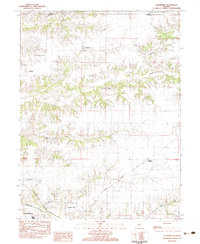
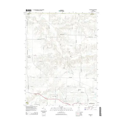
(36)- 1924 Map of Winchester
 1924 Winchester1924 Print · USGSScott and Morgan counties are shown here during the early twenties as a thriving network of small-town rail stops and rural schools. Genealogists can locate dozens of local landmarks like Oak Grove School, Seminary School, and the junction at Winchester.3 unique versions available
 - 1926 Map of Winchester
 1926 Winchester1926 Print · USGSScott and Morgan counties are shown in the mid-twenties, revealing a landscape of small agricultural villages and decentralized country schools. Genealogists can trace family footprints near Strawns Grove School, the Poor Farm, or the rail depot at Alsey.
 - 1929 Map of Arenzville, 1969 Print
 1929 Arenzville1969 Print · USGSThe fertile bottomlands of Cass and Morgan Counties are seen here in the late twenties, defined by a dense grid of family farms and rural schools. Genealogists can locate specific landmarks like the Neelyville PO, St Peters Ch, and Jersey College Sch.2 unique versions available
 - 1932 Map of Arenzville
 1932 Arenzville1932 Print · USGSThe bluffs and bottomlands of Cass and Morgan Counties are meticulously documented here in the early thirties. Local historians can trace family roots through dozens of rural landmarks, including Jersey College Sch, Bethel Chapel, and the settlement of Joy Prairie.
 - 1932 Map of Jacksonville, 1965 Print
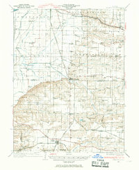
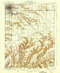
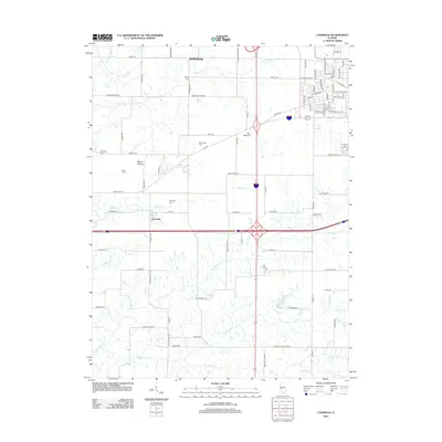
 1932 Jacksonville1965 Print · USGSCentral Illinois farm country and the growing hub of Jacksonville are captured in the early 1930s before modern highway expansion. Researchers can trace dozens of country schools and churches, including Douglas Institute, Whitlock Cem, and the rural post at Pisgah.2 unique versions available
 - 1932 Map of Virginia, 1965 Print
 1932 Virginia1965 Print · USGSCentral Illinois farm country and the Sangamon river breaks are captured here in the early 1930s as the rail and road network matured. Researchers can locate dozens of country schools and churches, from Brush College Sch and Zion Ch to the old settlement of Old Princeton.2 unique versions available
 - 1936 Map of Virginia
 1936 Virginia1936 Print · USGSCentral Illinois during the mid-thirties shows a landscape of busy rail towns and rural school districts centered on Virginia and Ashland. Researchers can trace old family schoolhouses like Science Hill Sch and country churches such as Eckman Chapel.2 unique versions available
 - 1937 Map of Jacksonville
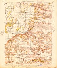
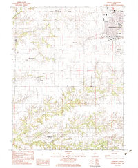
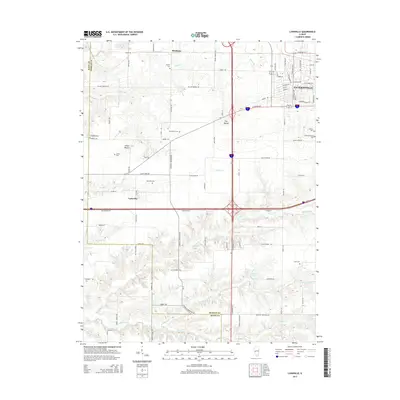
 1937 Jacksonville1937 Print · USGSMid-century Morgan County thrives as a rail and education hub just before the pre-war era. Researchers can trace ancestral roots at Whitlock Cem or locate defunct schools like Sulphur Springs Sch and Prairie College Sch.2 unique versions available
 - 1948 Map of Quincy
 1948 Quincy1948 Print · USGSThe Mississippi and Illinois River valleys are captured at a post-war crossroads as rail and river travel met the expanding highway system. Genealogists can trace family settlements from Quincy to Hannibal and smaller towns like Vandalia and Jerseyville.2 unique versions available
 - 1956 Map of Quincy, 1967 Print
 1956 Quincy1967 Print · USGSThe river and rail corridors of the Illinois-Missouri border are documented here during the mid-1950s. Researchers can trace historic river landings and regional transit hubs from Quincy and Hannibal to smaller settlements like Meredosia and Roodhouse.3 unique versions available
 - 1983 Map of Jacksonville
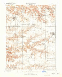
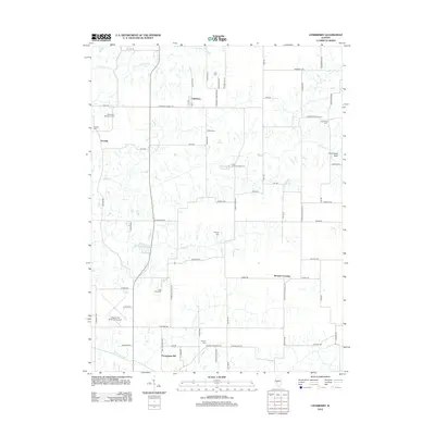
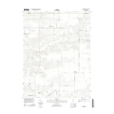
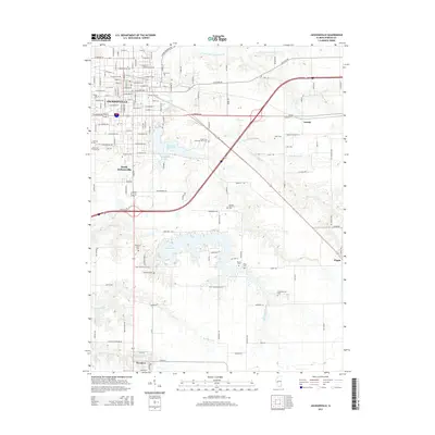
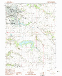 1983 Jacksonville1983 Print · USGSJacksonville and Morgan County are captured here in the early eighties, showcasing a dense network of colleges, specialized schools, and medical institutions. Researchers can trace historic family burial sites at East Cem and Diamond Grove Cem or locate the sprawling grounds of Illinois College.
 - 1983 Map of Lynnville
 1983 Lynnville1983 Print · USGSJacksonville and its rural outskirts come into focus in the early 1980s, showing the city's western expansion toward the Morgan County line. Researchers can locate several burial sites including Lynnville Cem and Lewis Cem, or trace the Norfolk and Western rail line.
 - 1983 Map of Concord
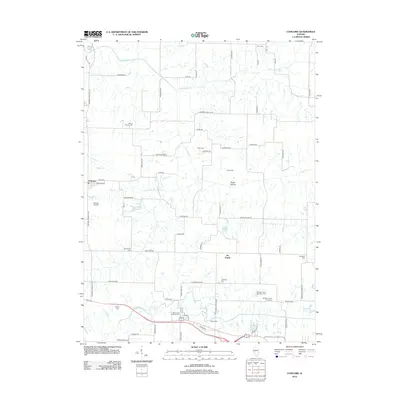
 1983 Concord1983 Print · USGSMorgan County in the early eighties shows a landscape defined by traditional agriculture and essential rail links. Genealogists can trace family names through numerous rural burial sites like Caldwell Cem and find landmarks such as Ebenezer Ch.
 - 1983 Map of Literberry
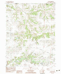
 1983 Literberry1983 Print · USGSMorgan County in the early 1980s maintains its deep agricultural roots between the crossroads of Literberry and Arcadia. Genealogists can trace family lineages through numerous local burial sites like Oak Ridge Cem and Phillips Cem or locate old landmarks like North Sch.
 - 1985 Map of Meredosia, 1988 Print
 1985 Meredosia1988 Print · USGSWest Central Illinois in the mid-eighties was a landscape of deep-rooted river towns and historic educational institutions. Genealogists and historians can trace family ties through Diamond Grove Cem, locate MacMurray College in Jacksonville, or study the river engineering at La Grange Lock and Dam.
 - 1990 Map of Meredosia
 1990 Meredosia1990 Print · USGSThe Illinois River valley and its surrounding farm towns are captured here in the 1990s. Trace the intricate rail lines of the Norfolk Southern Railway and find local landmarks like Diamond Grove Cem or the Meredosia National Wildlife Refuge.
 - 2012 Map of Literberry, 2012 Print
 2012 Literberry2012 Print · USGSCovers Jacksonville, including Literberry, Portuguese Hill, and other nearby areas
 - 2012 Map of Jacksonville, 2012 Print
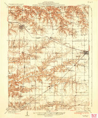
 2012 Jacksonville2012 Print · USGSCovers Jacksonville, including South Jacksonville, Woodson, and other nearby areas
 - 2012 Map of Concord, 2012 Print
 2012 Concord2012 Print · USGSCovers Jacksonville, including Arenzville, Concord, and other nearby areas
 - 2012 Map of Lynnville, 2012 Print
 2012 Lynnville2012 Print · USGSCovers Jacksonville, including Lynnville, Markham, and other nearby areas
 - 2015 Map of Lynnville, 2015 Print
 2015 Lynnville2015 Print · USGSCovers Jacksonville, including Lynnville, Markham, and other nearby areas
 - 2015 Map of Literberry, 2015 Print
 2015 Literberry2015 Print · USGSCovers Jacksonville, including Literberry, Portuguese Hill, and other nearby areas
 - 2015 Map of Jacksonville, 2015 Print
 2015 Jacksonville2015 Print · USGSCovers Jacksonville, including South Jacksonville, Woodson, and other nearby areas
 - 2015 Map of Concord, 2015 Print
 2015 Concord2015 Print · USGSCovers Jacksonville, including Arenzville, Concord, and other nearby areas
 - 2018 Map of Lynnville, 2018 Print
 2018 Lynnville2018 Print · USGSCovers Jacksonville, including Lynnville, Markham, and other nearby areas
Showing maps 1-25 of 36
Top cities near Jacksonville
- South Jacksonville historical maps
- Virginia historical maps
- Winchester historical maps
- Ashland historical maps
- Murrayville historical maps
- Chapin historical maps
See more
Frequently asked questions
- What are the different types of historical maps available for Jacksonville?
- What is the oldest map of Jacksonville?
- Where can I purchase historical maps of Jacksonville for my home or office?
- Where can I download high-res historical maps of Jacksonville?
- Are there historical topographic maps available for Jacksonville?
- Is there historical aerial imagery available for Jacksonville?
- Where are historical maps of Jacksonville sourced from?